


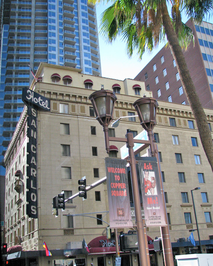
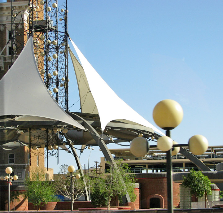
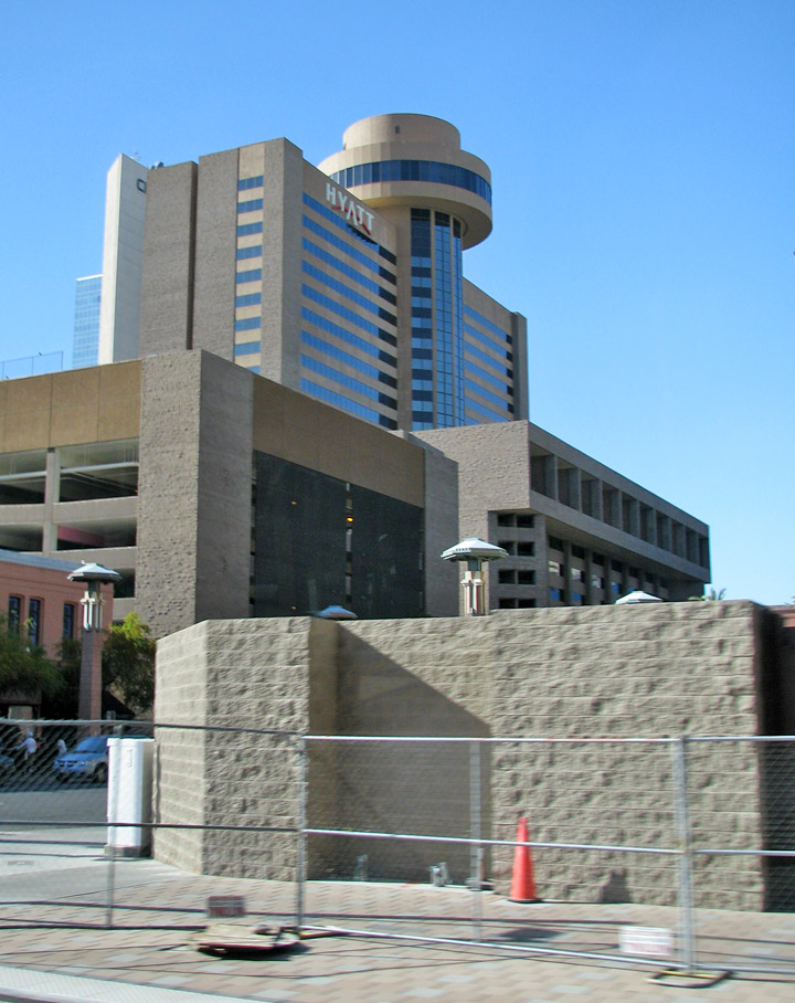
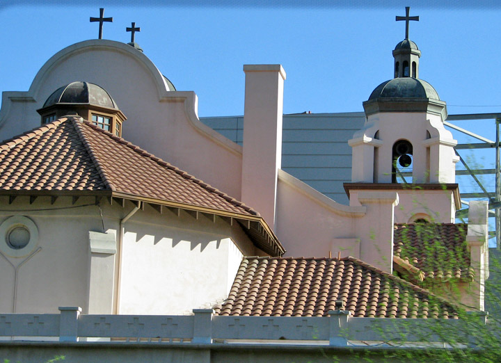
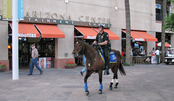
Phoenix


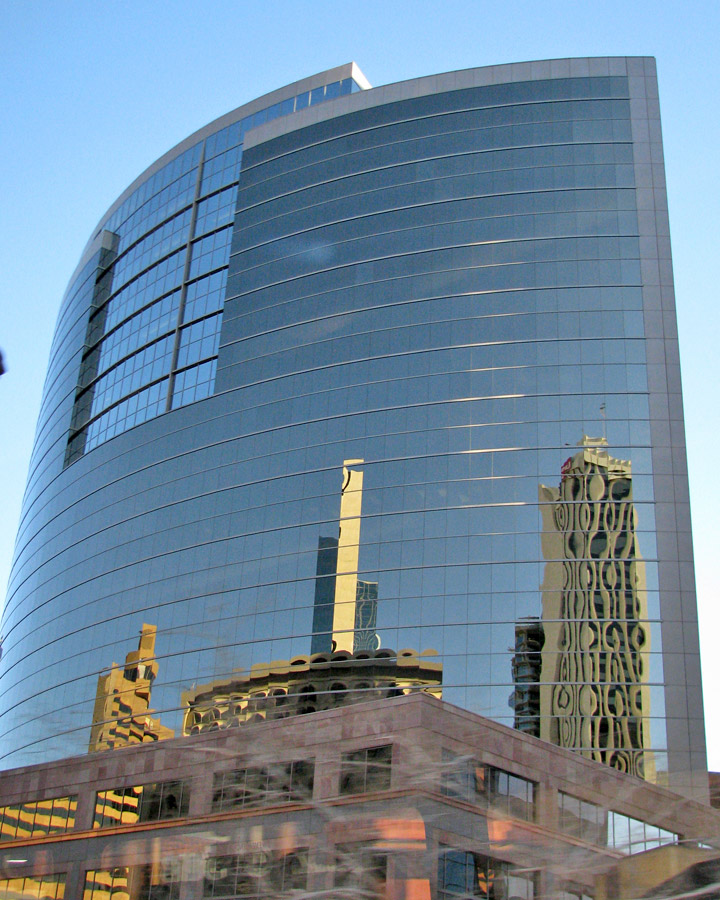
Phoenix
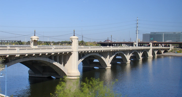
Phoenix, O'odham Skikik, Yavapai Wasinka, Western Apache Fiinigis, Navajo Hoozdo, Mojave Hachpa 'Anya Nyava is the capital and the most populous city of the U.S. state of Arizona and the county seat of Maricopa County, as well as being the largest state capital in the United States by population. It is the largest city in the American Southwest and the Mountain Time Zone, and is the region's primary political, cultural, economic, and transportation center. Phoenix is located along the banks of the now normally dry Salt River, and was incorporated as a city on February 25, 1881. Residents of Phoenix are known as Phoenicians.

The city's estimated population as of 2006 was 1,512,986, making it the fifth
largest city in the United States. At 515 square miles, its city proper is the
10th largest land area for a city in the United States, resulting in a lower
population density. As of 2007, the Phoenix Metropolitan Statistical Area
was the 13th largest in the United States, with an estimated population of
4,179,427.
For more than 1,000 years, the Hohokam peoples occupied the land that would
become Phoenix. The Hohokam created roughly 135 miles (217 km) of irrigation
canals, making the desert land arable. Paths of these canals would later become
used for the modern Arizona Canal, Central Arizona Project Canal, and the
Hayden-Rhodes Aqueduct. The Hohokam also carried out extensive trade with nearby
Anasazi, Mogollon, and other Mesoamerican tribes.
It is believed that, between 1300 and 1450, periods of drought and severe floods
led to the Hohokam's abandonment of the area. Local Akimel O'odham settlements,
thought to be the descendants of the formerly urbanized Hohokam, concentrated on
the Gila River alongside those of the Tohono O'odham and Maricopa peoples. Some
family groups did continue to live near the Salt River, but no large villages
existed.
Father Eusebio Kino, an Italian Jesuit in the service of the Spanish Empire, was
among the first Europeans to travel here in the 1600s and 1700s. By this time,
the valley was within the territory of New Spain, which was controlled by Spain
and later independent Mexico. Father Kino named the river "Rio Salado" (Salt
River) due to the water's high mineral content. He interacted with the few
native peoples who remained in the valley but focused mostly on the Pima
missions established in southern Arizona as well as exploring other parts of the
Southwest and California. Only southern Arizona experienced the full influence
of Hispanic cultures – the Salt River Valley itself remained almost depopulated
for several centuries.
American and European "Mountain Men" likely came through the area while
exploring what is now central Arizona during the early 19th century. They
obtained valuable beaver and otter pelts; these animals, as well as deer and
wolves, often lived in the Salt River Valley when water supplies and
temperatures allowed.
When the Mexican-American War ended in 1848, most of Mexico's northern zone
passed to US control and a portion of it was made the New Mexico Territory (this
included what is now Phoenix) shortly afterward. The Gadsden Purchase was
completed in 1853. The land was contested ground during the American Civil War.
Both the Confederate Arizona Territory, organized by Southern sympathizers in
1861 and with its capital in Tucson, and the United States Arizona Territory,
formed by the US Congress in 1863, with its capital at Fort Whipple (now
Prescott, Arizona) included the Salt River Valley within their borders. The
valley was not militarily important, however, and did not witness conflict.
In 1863, the mining town of Wickenburg was the first to be established in what
is now Maricopa County. At the time this county did not exist, as the land was
within Yavapai County along with the other major town of Prescott.
The US Army created Fort McDowell on the Verde River in 1865 to quell Native
American uprisings. Hispanic workers serving the fort established a camp on the
south side of the Salt River by 1866 that was the first permanent settlement in
the valley after the decline of the Hohokam. In later years, other nearby
settlements would form and merge to become the city of Tempe, but this community
was incorporated after Phoenix.
The history of Phoenix as a city begins with Jack Swilling, an American Civil
War veteran who had come west to seek wealth in the 1850s and worked primarily
in Wickenburg. On an outing in 1867, he stopped to rest at the foot of the White
Tank Mountains. Swilling observed the abandoned river valley and considered its
potential for farming, much like that already cultivation by the military
further east near Fort McDowell. The terrain and climate were optimal; only a
regular source of water was necessary. The existence of the old Hohokam ruins,
showing clear paths for canals, made Swilling imagine new possibilities.
Swilling had a series of canals built which followed those of the ancient Native
American system. A small community formed that same year about 4 miles (6 km)
east of the present city. It was first called Pumpkinville due to the large
pumpkins that flourished in fields along the canals, then Swilling's Mill in his
honor, though later renamed to Helling Mill, Mill City, and finally, East
Phoenix. Swilling, a former Confederate soldier, wanted to name the city
"Stonewall," after General Stonewall Jackson. Others suggested the name of
"Salina." However, neither name was supported by the community.
Finally, Lord Darrell Duppa suggested the name "Phoenix," as it described a city
born from the ruins of a former civilization.

The Yavapai County Board of Supervisors, which at the time encompassed Phoenix,
officially recognized the new town on May 4, 1868, and formed an election
precinct. The first post office was established on June 15, 1868, with Jack
Swilling serving as the postmaster. With the number of residents growing (the
1870 US census reported about a total Salt River Valley population of 240), a
town site needed to be selected. On October 20, 1870, the residents held a
meeting to decide where to locate it. A 320-acre (1.3 km²) plot of land was
purchased in what is now the downtown business section.
On February 12, 1871, the territorial legislature created Maricopa County, the
sixth one formed, by dividing Yavapai County. The first election for county
office was held in 1871, when Tom Barnum was elected the first sheriff. Barnum
ran unopposed as the other two candidates, John A. Chenowth and Jim Favorite,
had a shootout that ended in Favorite's death and Chenowth withdrawing from the
race.
Several lots of land were sold in 1870 at an average price of $48. The first
church opened in 1871, as did the first store. Public school had its first class
on September 5, 1872, in the courtroom of the county building. By October 1873,
a small school was completed on Center Street (now Central Avenue). Land entry
was recorded by the Florence Land Office on November 19, 1873, and a declaratory
statement filed in the Prescott Land Office on February 15, 1872. President
Ulysses S. Grant issued a land patent for the present site of Phoenix on April
10, 1874. The total value of the Phoenix Townsite was $550, with downtown lots
selling for between $7 and $11 each. A short time later, a telegraph office, 16
saloons, four dance halls and two banks were open.
By 1881, Phoenix had outgrown its original townsite-commissioner form of
government. The 11th Territorial Legislature passed "The Phoenix Charter Bill",
incorporating Phoenix and providing for a mayor-council government. The bill was
signed by Governor John C. Fremont on February 25, 1881. Phoenix was
incorporated with a population of approximately 2,500, and on May 3, 1881,
Phoenix held its first city election. Judge John T. Alsap defeated James D.
Monihon, 127 to 107, to become the city's first mayor. In early 1888, the city
offices were moved into the new City Hall, built where the downtown bus terminal
now stands. This building also provided temporary offices for the territorial
government when it moved to Phoenix in 1889.
The coming of the railroad in the 1880s was the first of several important
events that revolutionized the economy of Phoenix. Merchandise now flowed into
the city by rail instead of wagon. Phoenix became a trade center with its
products reaching eastern and western markets. In response, the Phoenix Chamber
of Commerce was organized on November 4, 1888.
Phoenix also inaugurated an electric streetcar system, built off earlier
stagecoach lines, in 1893.

In 1902, President Theodore Roosevelt signed the National Reclamation Act
allowing for dams to be built on western streams for reclamation purposes.
Residents were quick to enhance this by organizing the Salt River Valley Water
Users' Association on February 7, 1903, to manage the water and power supply.
The agency still exists as part of the Salt River Project. The Roosevelt Dam
east of the valley was completed in 1911. Several new lakes were formed in the
surrounding mountain ranges. In the Phoenix area, the river dried out, taking
with it the large populations of migrating birds, beaver dams, and cottonwood
trees that had lived on its waters.
On February 14, 1912, under President William Howard Taft, Phoenix became the
capital of the newly formed state of Arizona.
Phoenix was considered preferable as both territorial and state capital due to
its more central location as compared to Tucson or Prescott. It was smaller than
Tucson but outgrew that city within the next few decades to become the state's
largest.
In 1913, Phoenix adopted a new form of government from mayor-council to
council-manager, making it one of the first cities in the United States with
this form of city government.
During World War II, Phoenix's economy shifted to that of a distribution center,
rapidly turning into an embryonic industrial city with mass production of
military supplies. Luke Field, Williams Field, and Falcon Field, coupled with
the giant ground-training center at Hyder, west of Phoenix, brought thousands of
new people into Phoenix.
The Papago Park Prisoner of War Camp was established for captured Axis troops
located just east of the city. Only a few of its former buildings remain today.
In 1944, dozens of POWs had devised a plan to escape from the camp and use boats
to go down the Salt and Gila Rivers to reach Mexico. They were apparently
unaware that the Salt River had been dry for decades and were thus easily
apprehended near the camp.
Another notorious incident took place on Thanksgiving night of 1942, when a
large number of US troops stationed near Phoenix rioted while resisting arrest
by military police due to engaging in a fight. The military police surrounded
and blocked off a predominantly African American part of the city that the
troops had escaped to in order to hide. They then dispersed armored personnel
carriers and used 50-caliber machine guns on civilian homes.
Several fatalities resulted. The Colonel of Luke Field soon declared Army
personnel banned from Phoenix, which pressured civic leaders to reform local
government by firing a number of corrupt officials, in turn getting the ban
lifted. This same bipartisan effort also successfully convinced the city council
to give more power to the city manager to run the government and spend public
funds.
A fire in October 1947 destroyed most of the streetcar fleet, making the city
choose between implementing a new street railway system or using buses. The
latter were selected, and automobiles remained the city's preferred method of
transportation.
By 1950, over 100,000 people lived within the city and thousands more in
surrounding communities. There were 148 miles (238 km) of paved streets and 163
miles (262 km) of unpaved streets.
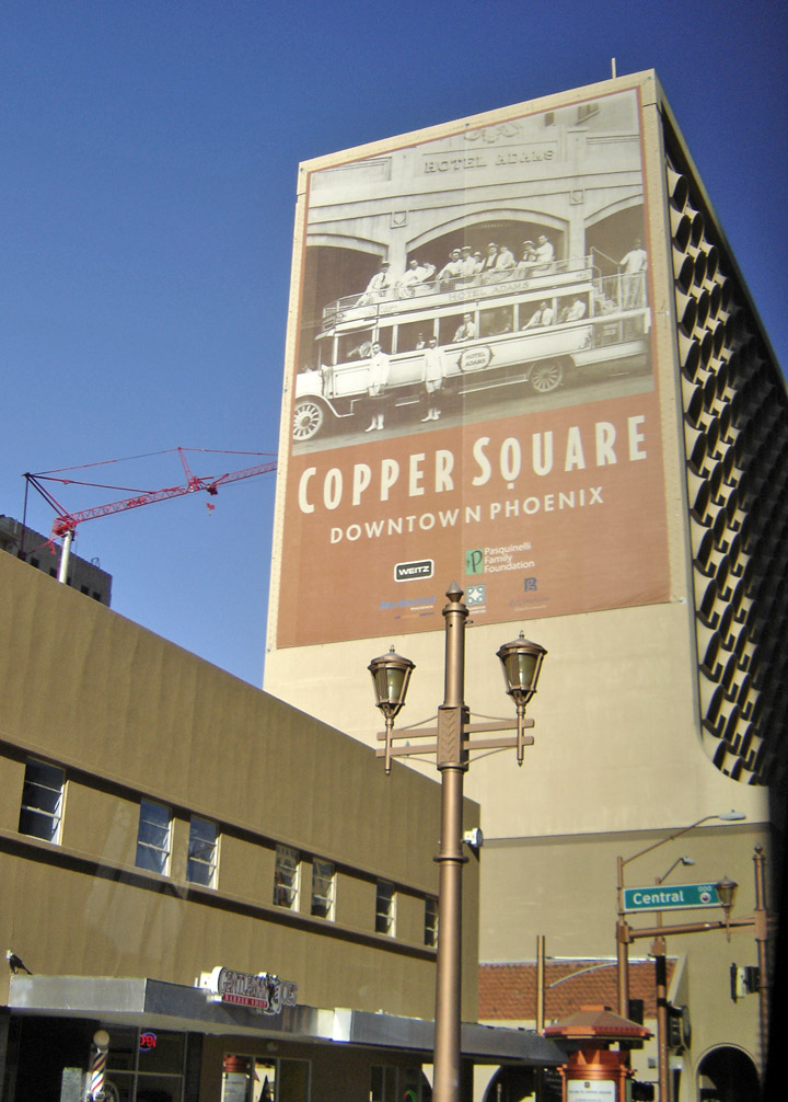
Over the next several decades, the city and metropolitan area attracted more growth. Nightlife and civic events concentrated along Central Avenue. By the 1970s, however, there was rising crime and a decline in business within the downtown core.
Arizona Republic writer Don Bolles was murdered by a car bomb in the city in
1976. It was believed that his investigative reporting on organized crime in
Phoenix made him a target. The case remains unsolved. Street gangs and the drug
trade had turned into public safety issues by the 1980s. Van Buren Street in
downtown became associated with prostitution. The city's crime rates in many
categories have improved since that time, but still exceed state and national
averages. The illegal immigrant population is of undetermined size but estimated
to be large and growing.
After the Salt River flooded in 1980 and damaged many bridges, the Arizona
Department of Transportation and Amtrak worked together and temporarily operated
a train service, the "Hattie B." line, between central Phoenix and the southeast
suburbs. It was discontinued because of high operating costs and a lack of
interest from local authorities in maintaining funding.
The "Phoenix Lights" sightings took place in March 1997. The Baseline Killer and
Serial Shooter crime sprees occurred in Phoenix, Tempe, and Mesa. Steele Indian
School Park was the site of a mid-air collision between two news helicopters in
July 2007.
Phoenix has maintained a massive growth streak in recent years, growing by 24.2%
since 2000. This makes it the second-fastest-growing metropolitan area in the
United States following only Las Vegas, whose population has grown by 29.2%
since 2000.
Text from Wikipedia