


Toronto


Toronto
largest city in Canada
Toronto is the largest city in Canada and is the provincial capital of Ontario. It is located on the northwestern shore of Lake Ontario. With over 2.5 million residents, it is the fifth-most populous municipality in North America. Toronto is at the heart of the Greater Toronto Area (GTA), and is part of a densely-populated region in south-central Ontario known as the Golden Horseshoe which is home to 8.1 million residents. The census metropolitan area (CMA) had a population of 5,113,149, and the Greater Toronto Area had a population of 5,555,912 in the 2006 Census.
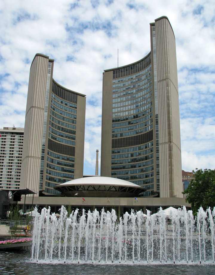
City Hall
As Canada's economic capital, Toronto is considered a global city and is one of the top financial cities in the world. Toronto's leading economic sectors include finance, business services, telecommunications, aerospace, transportation, media, arts, film, television production, publishing, software production, medical research, education, tourism and sports industries. The Toronto Stock Exchange, the world's seventh largest, is headquartered in the city, along with a majority of Canada's corporations.
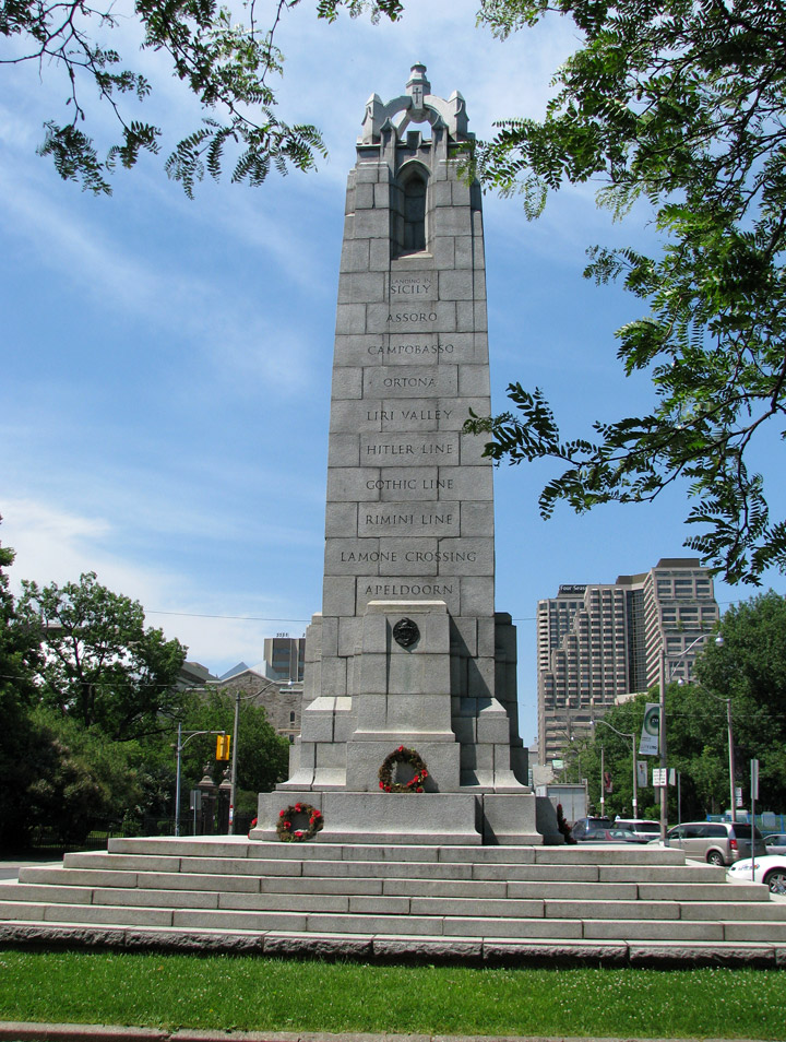
monument to war dead
Toronto's population is cosmopolitan and international, reflecting its role as an important destination for immigrants to Canada. Toronto is one of the world's most diverse cities by percentage of non-native-born residents, as about 49 percent of the population were born outside of Canada. Because of the city's low crime rates, clean environment, generally high standard of living, and friendlier attitudes to diversity, Toronto is consistently rated as one of the world's most livable cities by the Economist Intelligence Unit and the Mercer Quality of Living Survey. In addition, Toronto was ranked as the most expensive Canadian city in which to live in 2006.
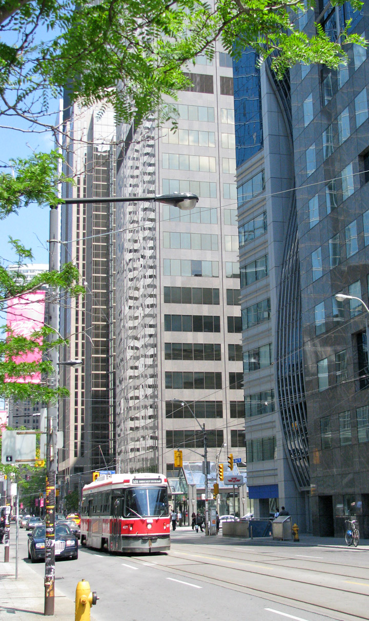
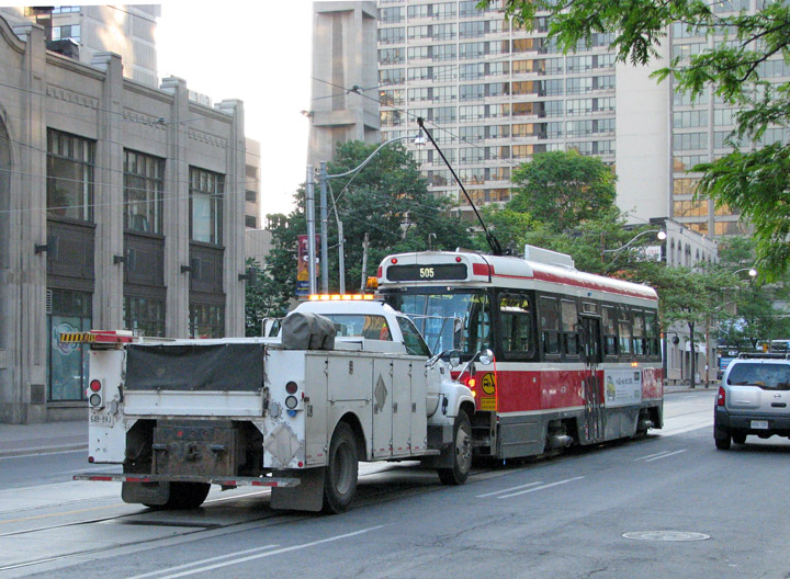
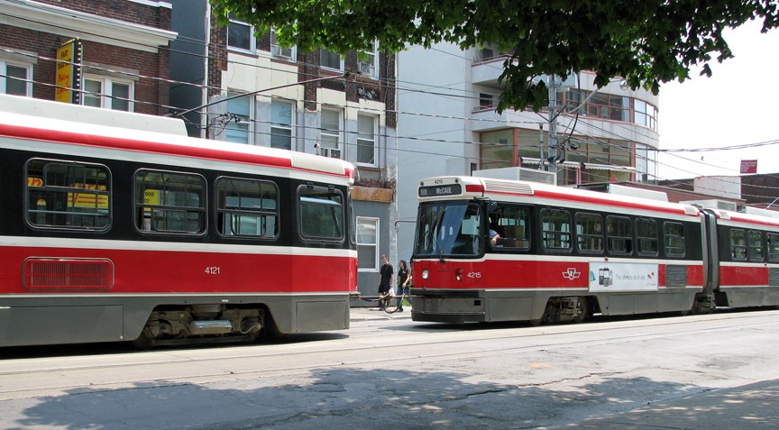
public transportation
some breakdown
some need a tow
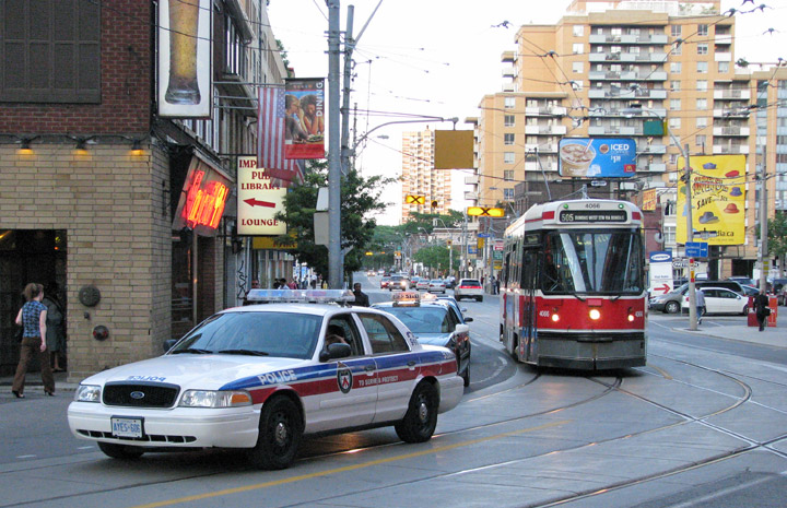
some need a police escort
Residents of Toronto are called Torontonians.
When Europeans first arrived at the site of present-day Toronto, the vicinity
was inhabited by the Huron tribes, who by then had displaced the Iroquois tribes
that occupied the region for centuries before c. 1500. The name Toronto is
likely derived from the Iroquois word tkaronto, meaning "place where trees stand
in the water". It refers to the northern end of what is now Lake Simcoe,
where the Huron had planted tree saplings to corral fish. A portage route from
Lake Ontario to Lake Huron running through this point, the Toronto
Carrying-Place Trail, led to widespread use of the
French traders founded Fort Rouillé on the current Exhibition grounds in 1750,
but abandoned it in 1759. During the American Revolutionary War, the region
saw an influx of British settlers as United Empire Loyalists fled for the
unsettled lands north of Lake Ontario. In 1787, the British negotiated the
Toronto Purchase with the Mississaugas of New Credit, thereby securing more than
a quarter million acres (1000 km²) of land in the Toronto area.
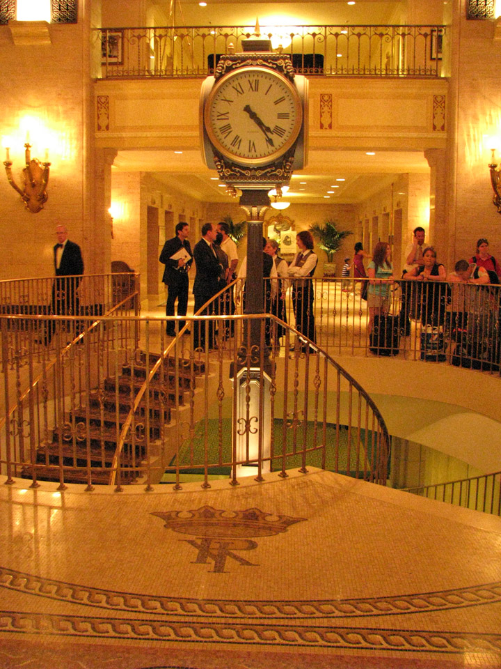
Royal York Hotel
More Photos of the Royal York Hotel
In 1793, Governor John Graves Simcoe established the town of York on the existing settlement, naming it after Prince Frederick, Duke of York and Albany. Simcoe chose the town to replace Newark as the capital of Upper Canada, believing the new site would be less vulnerable to attack by the Americans. Fort York was constructed at the entrance of the town's natural harbour, sheltered by a long sand-bar peninsula. The town's settlement formed at the eastern end of the harbor behind the peninsula, near the present-day Parliament Street and Front Street.

In 1813, as part of the War of 1812, the Battle of York ended in the town's
capture and plunder by American forces. The surrender of the town was
negotiated by John Strachan. American soldiers destroyed much of Fort York and
set fire on the parliament buildings during their five-day occupation.
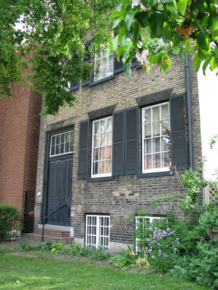
Mackenzie House
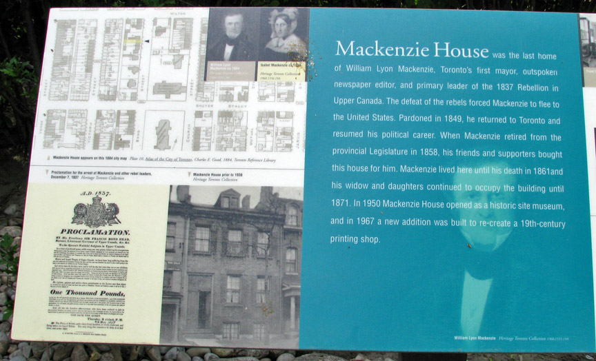
York was incorporated as the City of Toronto on March 6, 1834, reverting to its
original native name. The population of only 9,000 included escaped African
American slaves fleeing Black Codes in some states. Slavery was banned
outright in Upper Canada in 1834. Reformist politician William Lyon Mackenzie
became the first Mayor of Toronto, and led the unsuccessful Upper Canada
Rebellion of 1837 against the British colonial government. The city grew rapidly
through the remainder of the 19th century, as a major destination for immigrants
to Canada. The first significant population influx occurred with the Great Irish
Famine between 1846 and 1849 that brought a large number of Irish into the city,
some of them transient and most of them Catholic. By 1851, the Irish-born
population had become the largest single ethnic group in the city. Smaller
numbers of Protestant Irish immigrants were welcomed by the existing Scottish
and English population, giving the Orange Order significant influence over
Toronto society.
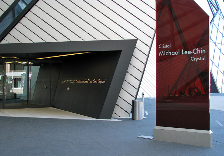
Royal Ontario Museum
More Photos of the Royal Ontario Museum
Toronto was twice for brief periods the capital of the united Province of Canada first from 1849-1852, following unrest in Montreal, and later 1856-1858 after which Quebec became capital until 1866 (one year prior to Confederation); since then, the capital has been Ottawa. As it had been for Upper Canada from 1793, Toronto became the capital of the province of Ontario after its official creation in 1867 and has remained so since with the Ontario Legislature located at Queen's Park. Because of its capital status, the city was also the location of Government House, the residence of the vice-regal representative of the Crown.
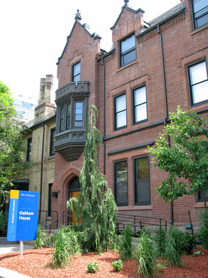
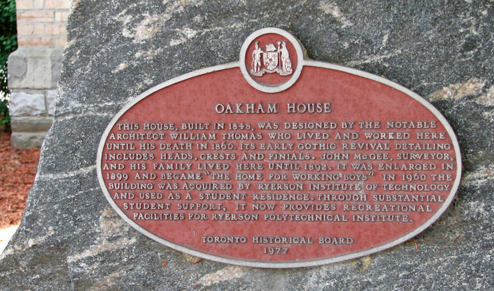
Ryerson College
In the 19th century, an extensive sewage system was built, and streets became
illuminated with gas lighting as a regular service. Long-distance railway lines
were constructed, including a route completed in 1854 linking Toronto with the
Upper Great Lakes. The Grand Trunk Railway and the Northern Railway of Canada
joined in the building of the first Union Station in downtown. The advent of the
railway dramatically increased the numbers of immigrants arriving and commerce,
as had the Lake Ontario steamers and schooners entering the port and enabled
Toronto to become a major gateway linking the world to the interior of the North
American continent. Horse-drawn streetcars gave way to electric streetcars in
1891, when the city granted the operation of the transit franchise to the
Toronto Railway Company. The public transit system passed into public ownership
in 1921 as the Toronto Transportation Commission, later renamed the Toronto
Transit Commission. The system now has the third-highest rider ship of any city
public transportation system in North America.
In 1954, the City of Toronto was federated into a regional government known as
Metropolitan Toronto. The postwar boom had resulted in rapid suburban
development, and it was believed that a coordinated land use strategy and shared
services would provide greater efficiency for the region. The metropolitan
government began to manage services that crossed municipal boundaries, including
highways, water and public transit. In 1967, the seven smallest municipalities
of the region were merged into their larger neighbors, resulting in a
six-municipality configuration that included the old City of Toronto and the
surrounding municipalities of East York, Etobicoke, North York, Scarborough and
York. In 1998, the metropolitan government was dissolved and the six
municipalities were amalgamated into a single municipality, creating the current
City of Toronto, where David Miller is the current Mayor.
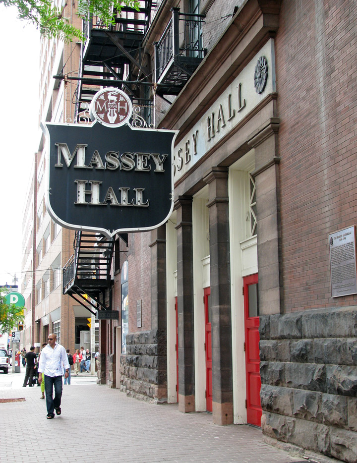
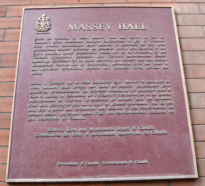
Massey Hall
The Great Toronto Fire of 1904 destroyed a large section of downtown Toronto,
but the city was quickly rebuilt. The fire had cost more than $10 million in
damage, and led to more stringent fire safety laws and the expansion of the
city's fire department.
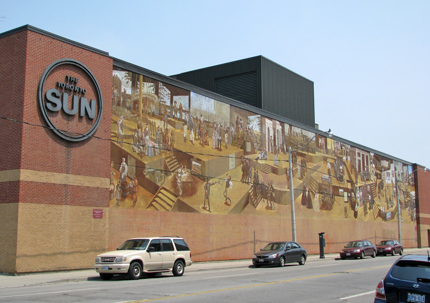
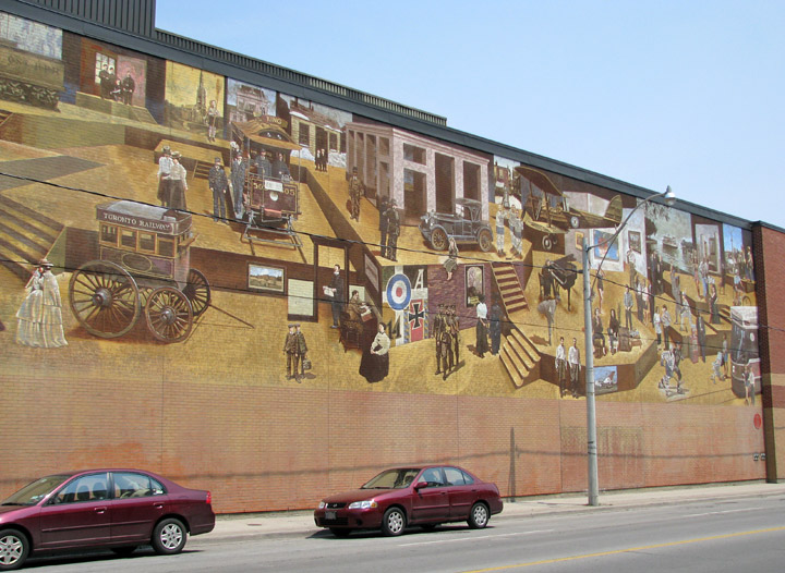
"The Toronto Sun"
The city received new immigrant groups beginning in the late 19th century into
early 20th century, particularly Germans, Italians, and Jews from various parts
of Eastern Europe. They were soon followed by Chinese, Russians, Poles and
immigrants from other Eastern European nations, as the Irish before them, many
of these new migrants lived in overcrowded shanty type slums, such as the "the
Ward" which was between Bay Street, now the heart of the country's finances.
Despite its fast paced growth, by the 1920s, Toronto's population and economic
importance in Canada remained second to the much longer established Montreal.
However, by 1934 the Toronto Stock Exchange had become the largest in the
country.
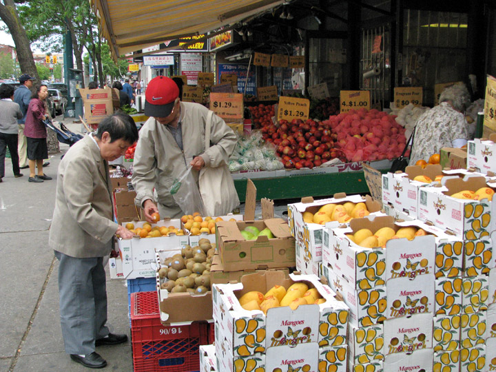
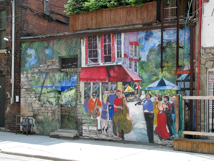
Kensington Market neighborhood
More Photos of Kensington Market
Following the Second World War, refugees from war-torn Europe and Chinese job-seekers arrived. So too did construction laborers, particularly from Italy and Portugal. Following elimination of racially based immigration policies by the late 1960s, immigration began from all parts of the world. Toronto's population grew to more than one million in 1951 when large-scale suburbanization began, and doubled to two million by 1971. By the 1980s, Toronto had surpassed Montreal as Canada's most populous city and the chief economic hub. During this time, in part due to the political uncertainty raised by the resurgence of the Quebec sovereignty movement, many national and multinational corporations moved their head offices from Montreal to Toronto and other western Canadian cities.
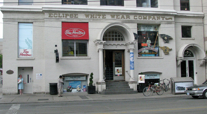
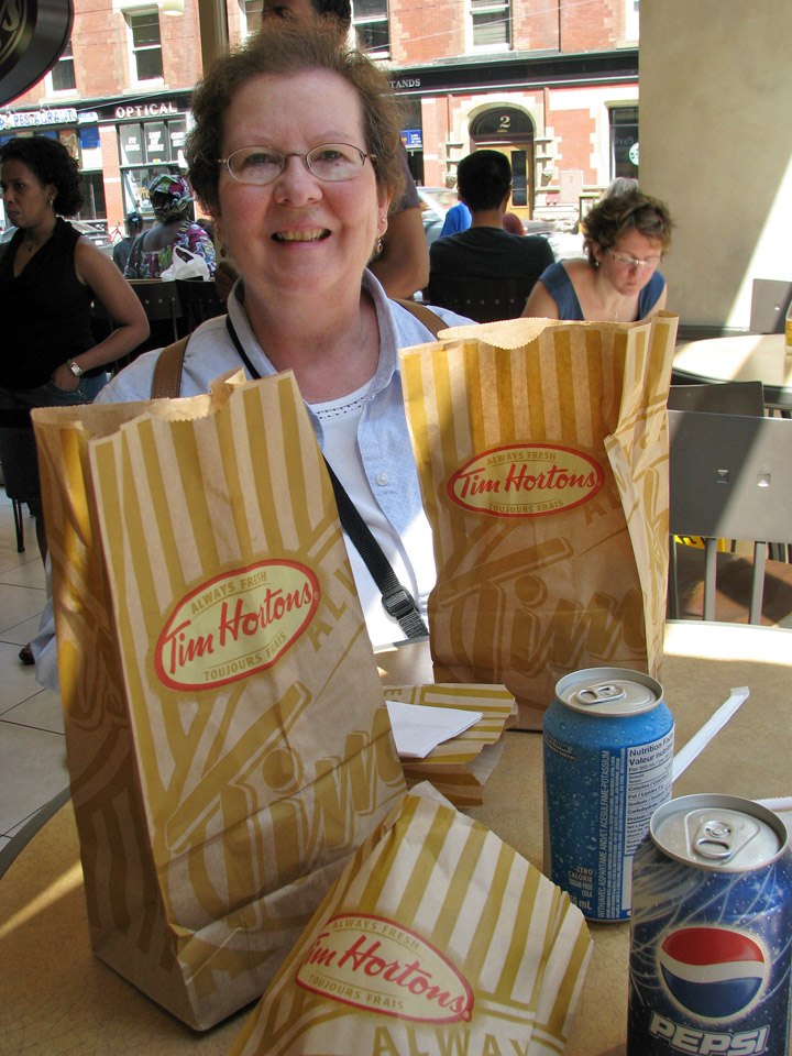
Tim Hortons, a Canadian institution
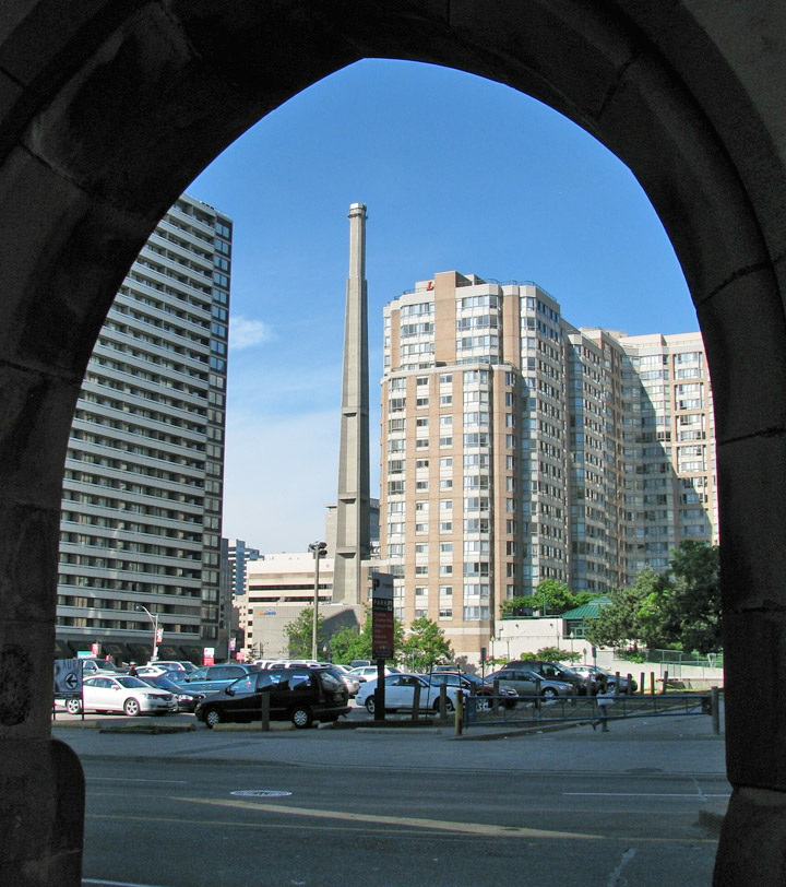
Toronto covers an area of 630 square kilometers (243 sq mi), with a maximum
north-south distance of 21 kilometers (13 mi) and a maximum east-west distance
of 43 km (27 mi). It has a 46-kilometre (29 mi) long waterfront shoreline, on
the northwestern shore of Lake Ontario. Its borders are formed by Lake
Ontario to the south, Etobicoke Creek and Highway 427 to the west, Steeles
Avenue to the north and the Rouge River to the east.
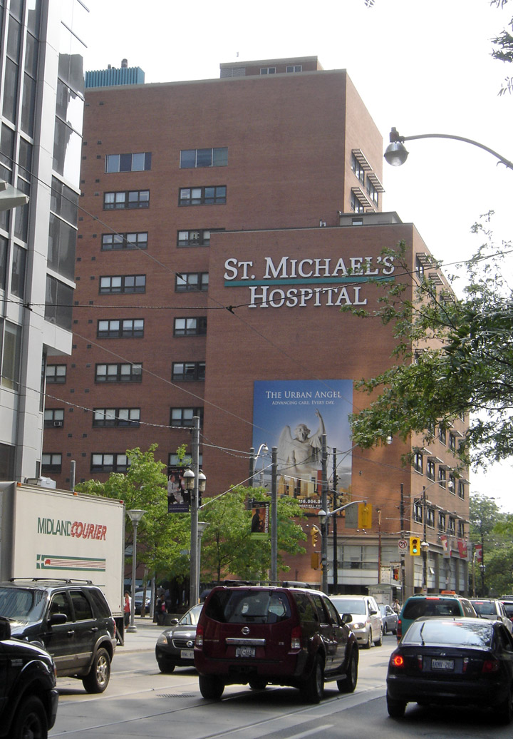
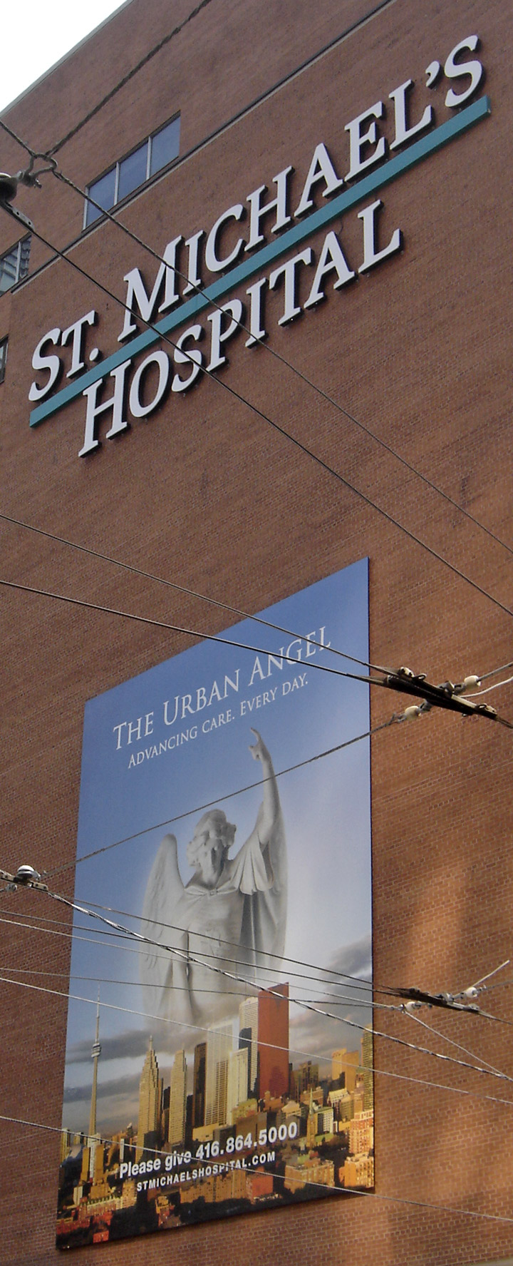
The Urban Angel
The city is intersected by two rivers and numerous tributaries: the Humber River in the west end and the Don River east of downtown at opposite ends of the Toronto Harbor. The harbor was naturally created by sediment build-up from lake currents that created the Toronto Islands. The many creeks and rivers cutting from north toward the lake created large tracts of densely-forested ravines, and provide ideal sites for parks and recreational trails. However, the ravines also interfere with the city's grid plan, and this results in major thoroughfares such as Finch Avenue, Leslie Street, Lawrence Avenue, and St. Clair Avenue terminating on one side of ravines and continuing on the other side. Other thoroughfares such as the Bloor Street Viaduct are required to span above the ravines. These deep ravines prove useful for draining the city's vast storm sewer system during heavy rains but some sections, particularly near the Don River are prone to sudden, heavy floods. Storage tanks at waste treatment facilities will often receive too much river discharge causing them to overflow, allowing untreated sewage to escape into Lake Ontario closing local beaches for swimming.
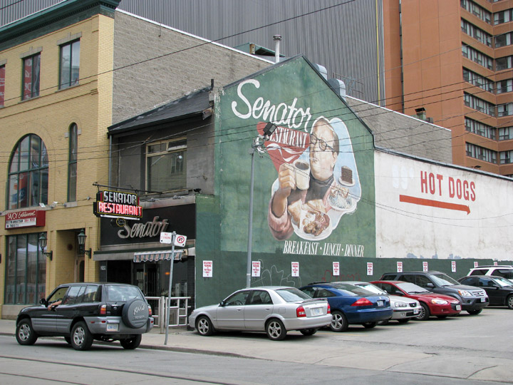
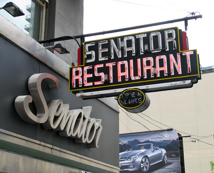
Senator Restaurant
During the last ice age, the lower part of Toronto was beneath Glacial Lake
Iroquois. Today, a series of escarpments mark the lake's former boundary, known
as the Iroquois Shoreline. The escarpments are most prominent from Victoria Park
Avenue to the mouth of Highland Creek, where they form the Scarborough Bluffs.
Other observable sections include the area near St. Clair Avenue West between
Bathurst Street and the Don River, and north of Davenport Road from Caledonia to
Spadina Avenue; the Casa Loma grounds sit above this escarpment. Although not
remarkably hilly, Toronto does have elevation differences ranging from 75 meters
(246 ft) above-sea-level at the Lake Ontario shore to 270 m (886 ft) ASL near
the York University grounds in the city's north end.
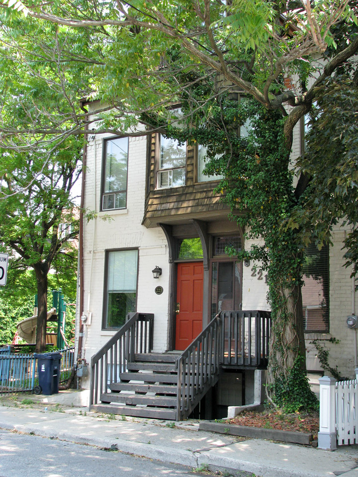
Corktown residence
Much of the current lakeshore land area fronting the Toronto Harbor is actually
artificial landfill. In the mid-19th century the lakefront was set back up to 1
kilometer (0.6 mi) further inland than it is today. Much of the Toronto harbor
(the quays, formerly known as wharves) and adjacent Portlands are also fill. The
Toronto Islands were actually a land spit until a storm in 1858 severed its
connection to the mainland, creating a channel later used by shipping interests
to access the docks.
According to some prominent residents of the city and some important architects
who have designed buildings there, Toronto has no single dominant,
architectural style. Lawrence Richards, a member of the faculty of architecture
at the University of Toronto, has said "Toronto is a new, brash, rag-tag place—a
big mix of periods and styles". Toronto buildings vary in
design and age with some structures dating back to the mid 1800s, while other
prominent buildings were just newly built in the 2000s.
Text from Wikipedia