


St. Lawrence
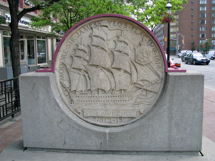
St. Lawrence neighborhood
The St. Lawrence neighborhood of Toronto, Ontario, Canada although still part of downtown Toronto, was the actual downtown centre and city hall location during the late 18th and entire 19th century.
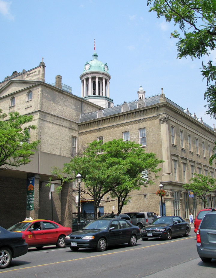
St. Lawrence Hall
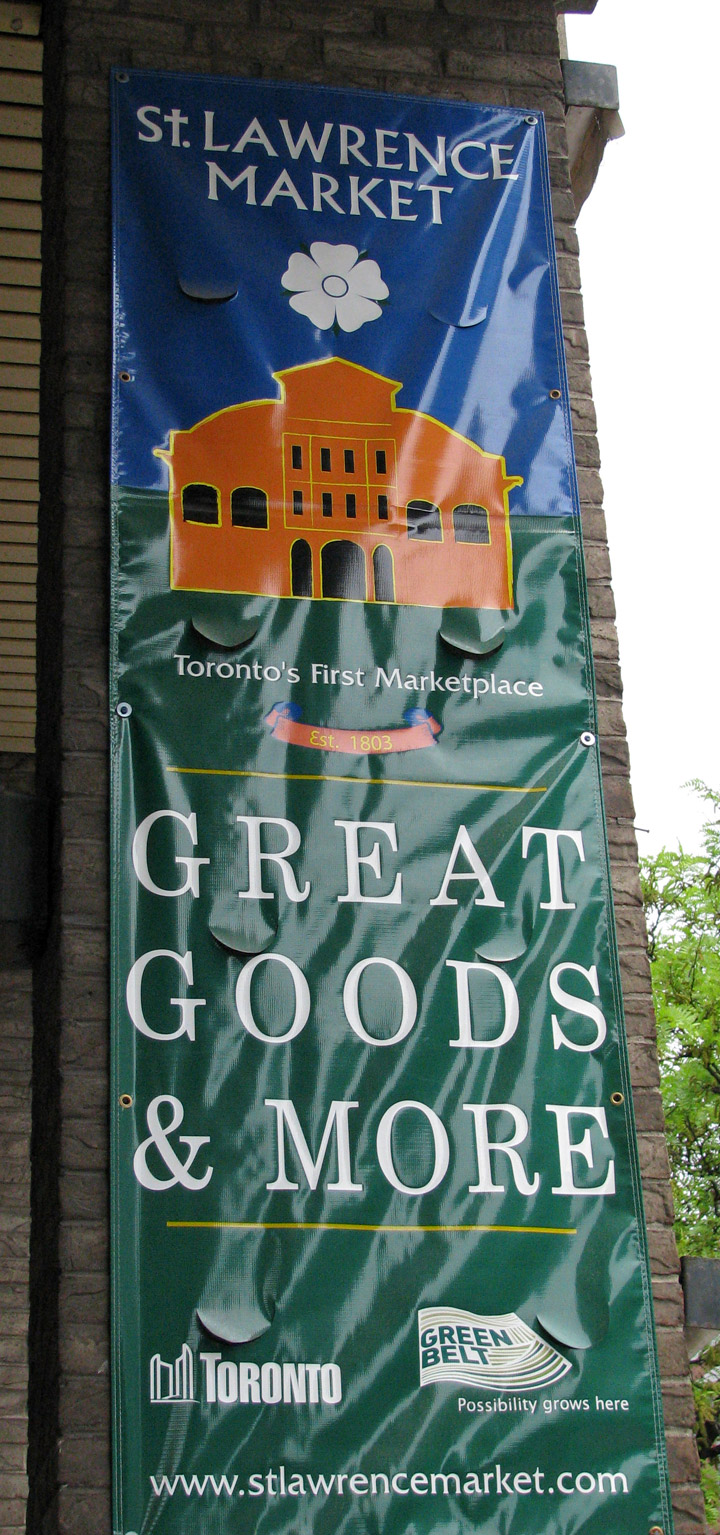
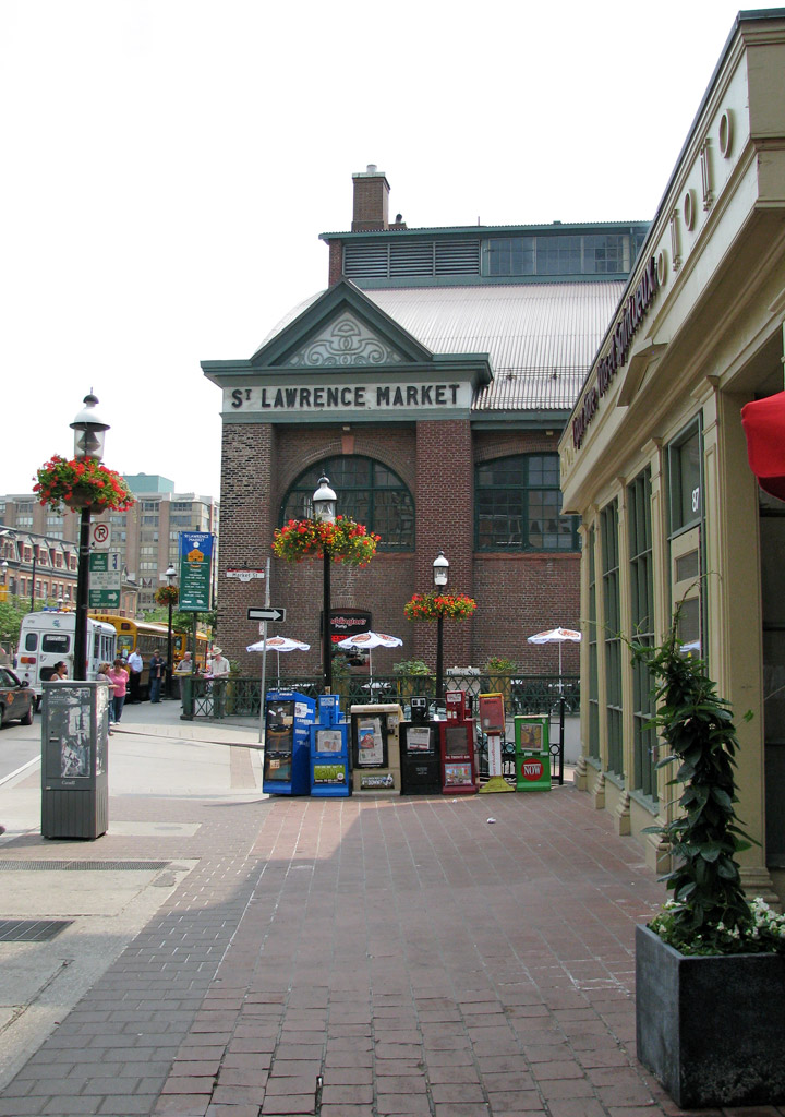
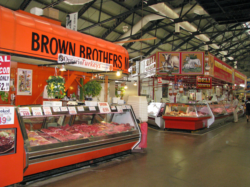
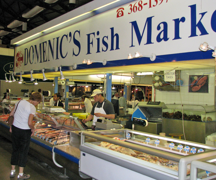
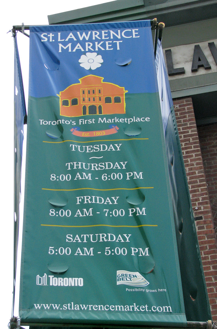
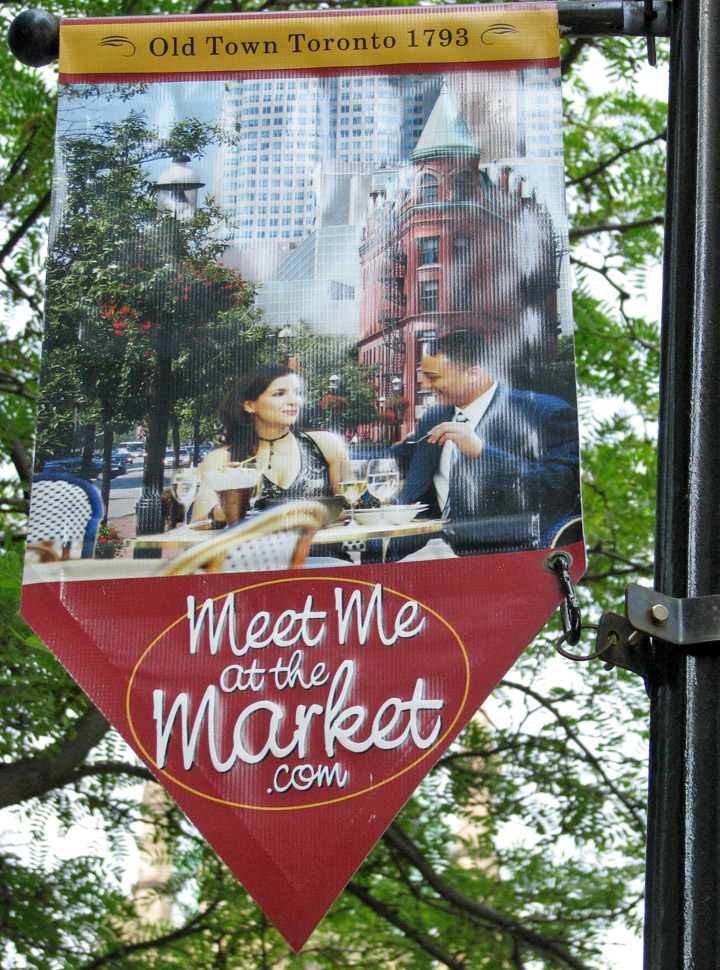
The area is bounded by Yonge, Front, and Parliament Streets, and the Canadian National railway embankment. The Esplanade off Yonge St., lined with restaurants, cafés and hotels runs through the middle of the area. In previous times, the area was sometimes referred to as 'St. Lawrence Ward' or more often today as 'St. Lawrence Market', synonymous with the large retail vendor market which is the neighborhood's focal point. Saint Lawrence (shortened to St. Lawrence) was so named after the patron saint of Canada.
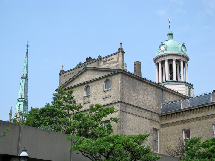
St. Lawrence Hall, one of the most prominent landmarks in the neighborhood.
The area was the site of Toronto's earliest non-military European settlements.
The first parliament buildings in Upper Canada in 1793 were constructed on the
southwest corner of Parliament and Front Street. The buildings have long since
gone from the site, but a discovery in 2000 when a quick dig of the property
revealed the old parliament building footings, in addition to some pottery from
that time. The city and the province now own most of the property, although
there is no current preservation or memorial located there.
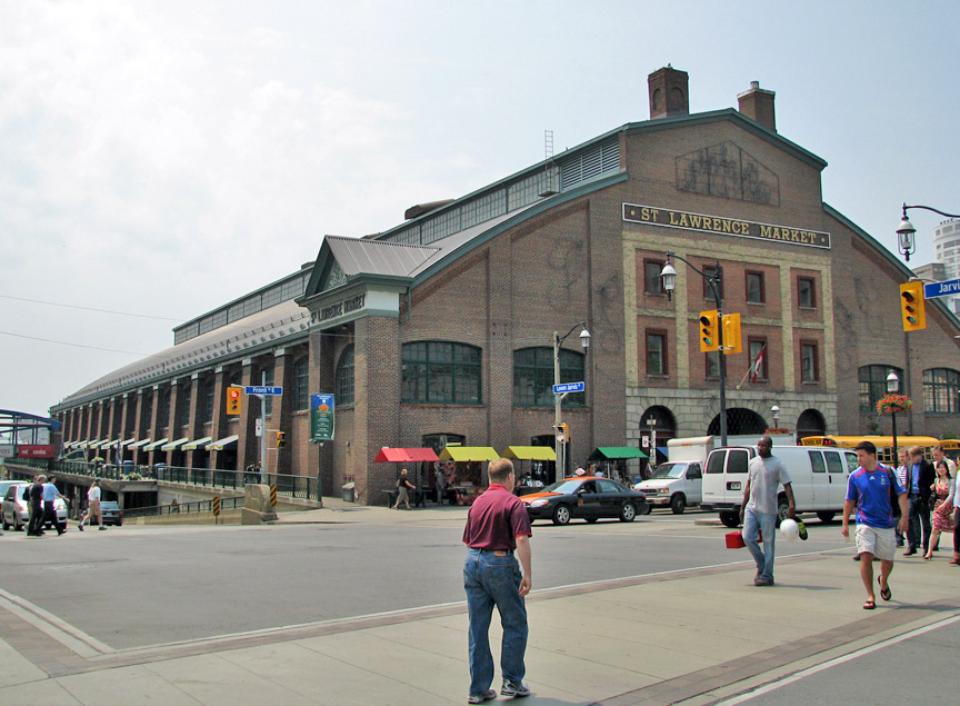
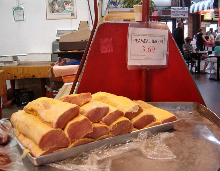
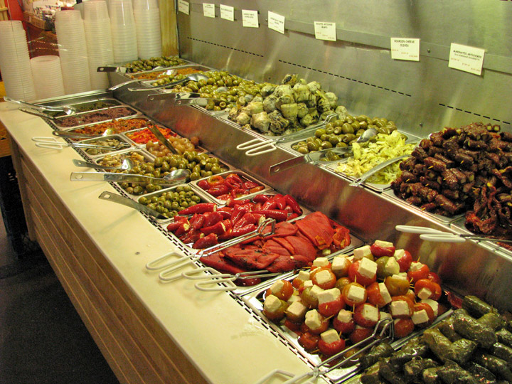
A Saturday farmers' market began operation in St. Lawrence in 1803.
The city of Toronto's first city hall was located on the
southwest corner of King St. East & Jarvis St. at the old 'Market' building from
1834 (the year of Toronto's incorporation from the former town of York) to 1844.
This building was later burnt down during the great fire of 1849 and replaced
with the grandiose St. Lawrence Hall and north section of the market, referred
to today as the 'North Market'.
In response to the city's dramatic population growth centered around present day
St. Lawrence, a larger city hall, also housing a police station and jail cells
opened in 1845 with a 140' facade running along south side of Front Street. City
Hall was moved out of the area in 1899 to what is now Old City Hall before
moving once again to its current location. The former city hall was converted
into and expanded into the market gallery or 'South Market'. The old council
chamber is all that remains of the original city hall and is located on the
gallery's second floor.
By 1850, Toronto's waterfront and wharves were located along the Esplanade, not
its current location below Harbourfront. The Grand Trunk Railway line was
constructed serving the many warehouses along the wharves. Commercial activity
along Toronto's bustling harbor provided employment and was the primary place
of entry to the quickly growing, burgeoning city. The convergence of the railway
lines and the wharves must have worked because in 1873 historian Henry Scadding
so eloquently wrote in his book Old Toronto of The Esplanade "...It has done for
Toronto what the Thames Embankment has done for London..."
However, the rapid deindustrialization of the 1960s and 1970s the area along
with the neighboring Distillery District became used for movie location shoots
and rickshaw housing for the homeless, due to the dark, urban and vacant
industrial atmosphere that existed at that time.

crab
In the 1970s it was decided by mayor David Crombie to turn the area into a new residential neighborhood, but one that would not make the same mistakes of the housing projects of earlier decades. The neighborhood was to be integrated into the city with no clear boundaries. It would contain a mix of commercial and residential as with both subsidized and market oriented housing, mostly row house or low-rise apartments. The neighborhood was planned by Alan Littlewood and the influence of American urban planner Jane Jacobs played a crucial role. Many of the developments were not completed until well into the 1990s. Since that time, the St. Lawrence neighborhood has been critically acclaimed as a major success in urban planning. In many ways, it has become the model for the design and planning of new urban communities across North America.


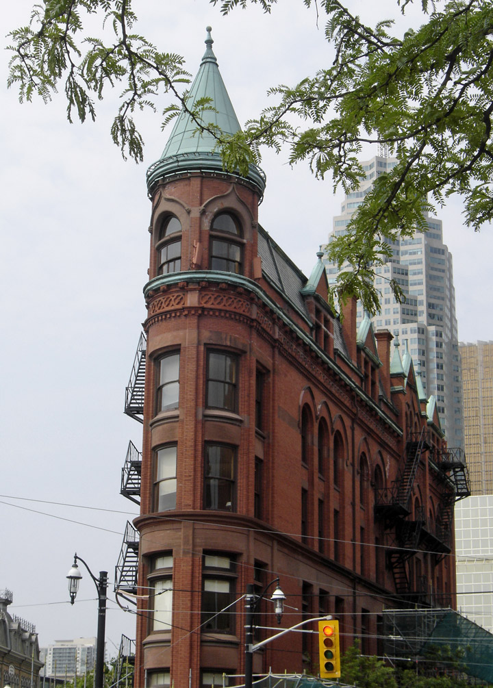
Flatiron building
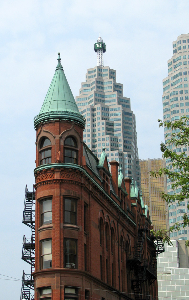
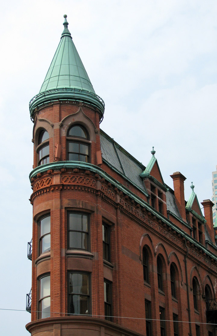
Some of the most interesting architecture in the city can be found in St. Lawrence, one notable landmark is the Flatiron building, known for its distinct narrow, wedge shape where Wellington St. merges with Front. Built in 1892, it was the first of this type of building constructed in North America. If viewed from the east, the wedge can be seen in the foreground with the financial skyscrapers and the CN tower rising in the background.
Text from Wikipedia
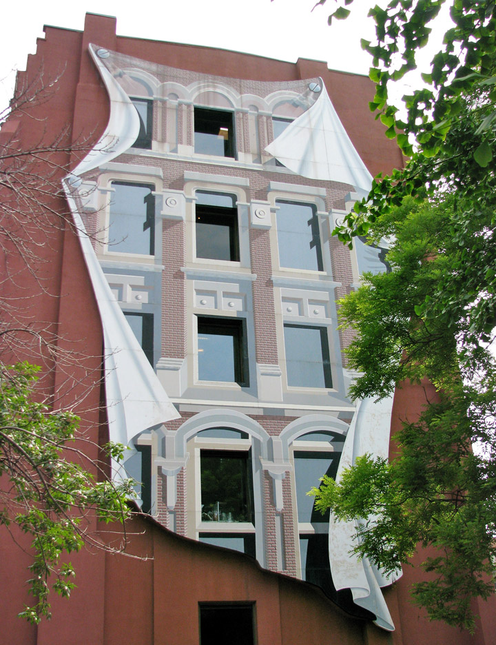
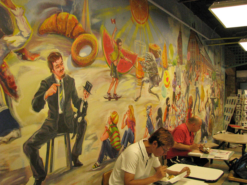
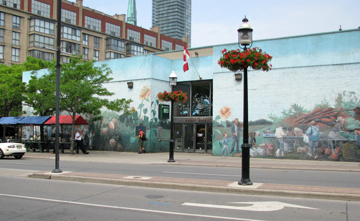
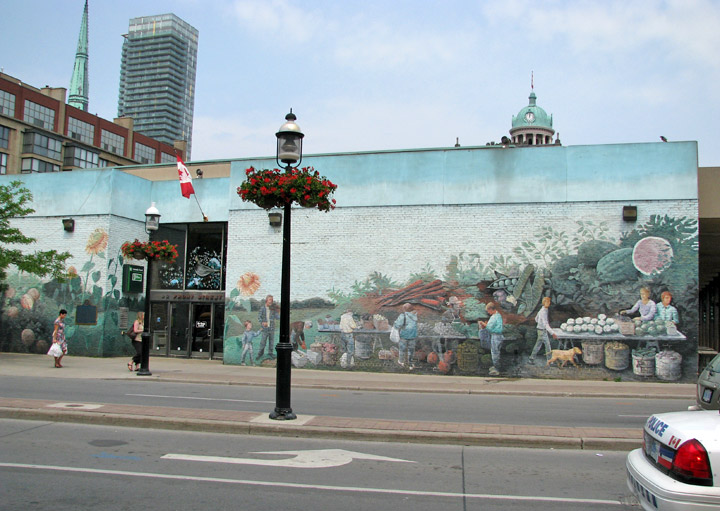
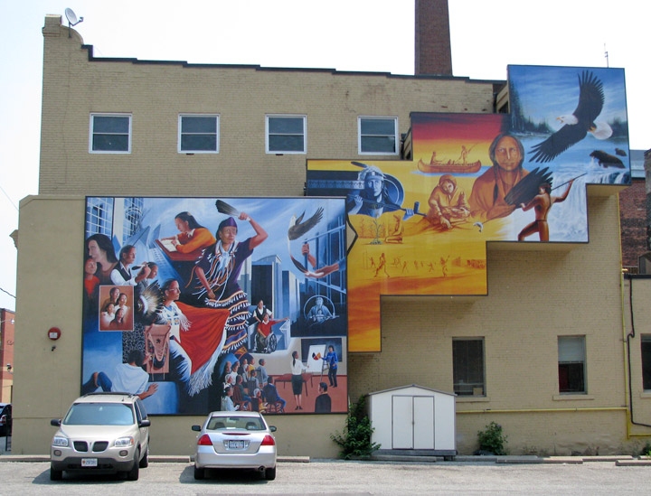
Mural on back of the Flatiron building
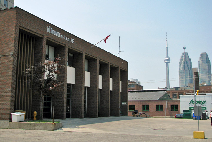
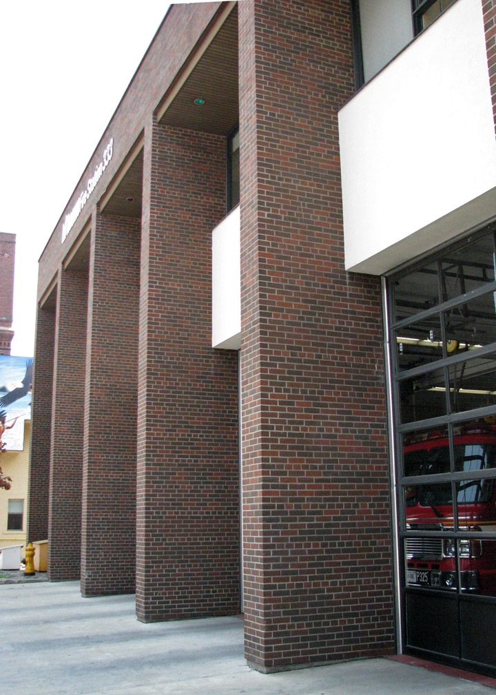
Fire Station
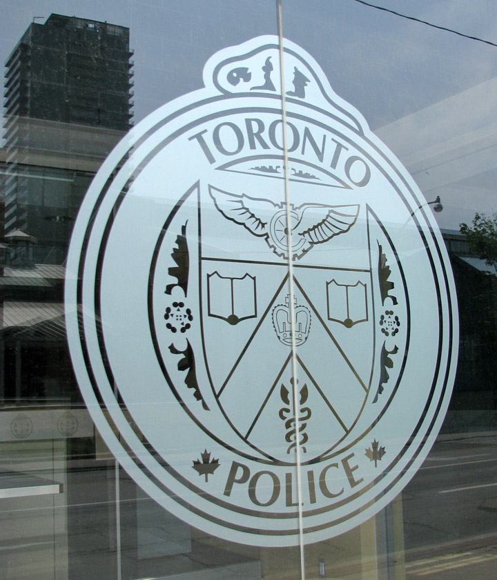
Police Station