

New Brunswick
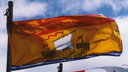
the flag
New Brunswick is bounded on the north by Quebec's Gaspé Peninsula and Chaleur Bay. Along the east coast, the Gulf of Saint Lawrence and Northumberland Strait are found. In the south-east corner of the province, the narrow Isthmus of Chignecto connects New Brunswick to the Nova Scotia peninsula. The south of the province is bounded by the Bay of Fundy, which has the highest tide in the world, with a rise of 16m. On the west, the province borders the American state of Maine.

lupines
The major river systems in the province include the Saint John River, Petitcodiac River, Miramichi River, St. Croix River, Kennebecasis River and the Restigouche River. New Brunswick lies entirely within the Appalachian Mountain range. The eastern and central part of the province consists of the New Brunswick Lowland. The Caledonia Highlands and St. Croix Highlands extend along the Bay of Fundy coast, reaching elevations of 300 metres. The northwestern part of the province is comprised of the remote and more rugged Miramichi Highlands, as well as the Chaleur Uplands and the Notre Dame Mountains with a maximum elevation at Mount Carleton of 820 metres. The total land and water area is 72, 908 kms², 80% of which is forested. Agricultural land is found mostly in the upper Saint John River valley, with lesser amounts of farmland in the southeast of the province. The major urban centres lie in the southern third of the province.
More Photos of the Saint John River

long covered bridge

Hartland, New
Brunswick
1282 feet long
More Photos of Covered Bridges
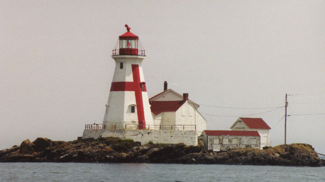
East Quoddy Head lighthouse on Campobello Island
![]()
St. Martins

covered bridge

low tide
boats resting on the bottom

covered bridge

![]()
Wilson's Beach, Campobello Island
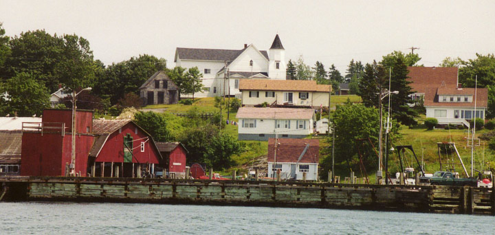
the town
Campobello has always
relied heavily on fishing as the mainstay of the island economy, however the
Passamaquoddy Bay region's potential for tourism was discovered during the 1880s
at about the same time as The Algonquin resort was built at nearby St. Andrews
and the resort community of Bar Harbor was beginning to develop. Campobello
Island became home to a similar, although much smaller and more exclusive
development following the acquisition of some island properties by several
private American investors. A luxurious resort hotel was built and the island
became a popular summer colony for wealthy Canadians and Americans, many of whom
built grand estates there.
Included in this group was Sara Delano and her husband James Roosevelt Sr. from
New York. Sara Delano had a number of Delano cousins living in Maine and
Campobello offered a beautiful summer retreat where their family-members could
easily visit. From 1883 onward, the Roosevelt family made Campobello Island
their summer home. Their son, Franklin D. Roosevelt, President of the United
States, would spend his summers on Campobello from the age of one until, as an
adult, he acquired a larger property - a 34 room "cottage" - which he would use
as a summer retreat until 1936. It was here that Franklin D. Roosevelt, Jr., was
born in the summer of 1914. It was at Campobello, in August 1921, that Roosevelt
contracted an illness, at the time believed to be polio, which resulted in his
total and permanent paralysis from the waist down.
Text from Wikipedia
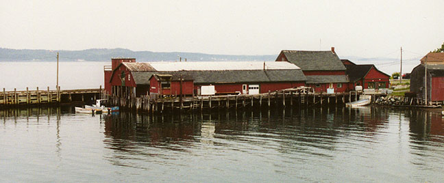
the wharf
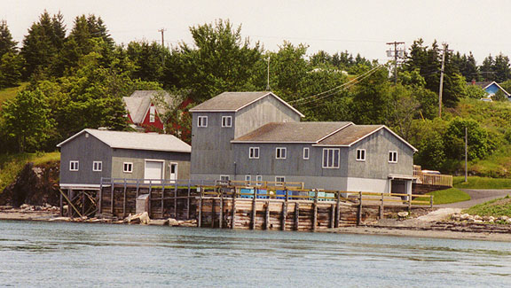
a modern seafood facility
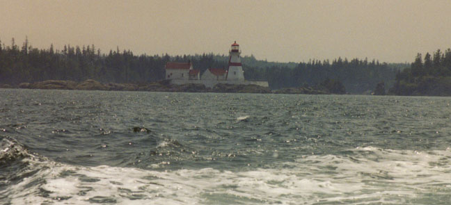
the light, a guide for all boats
![]()
Welshpool, Campobello Island
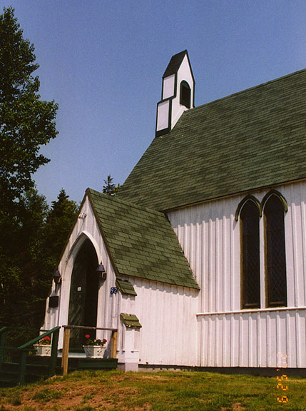
St Anne's church in Welshpool
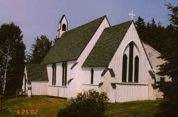
as seen from the parish hall
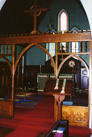
the interior

the parish hall
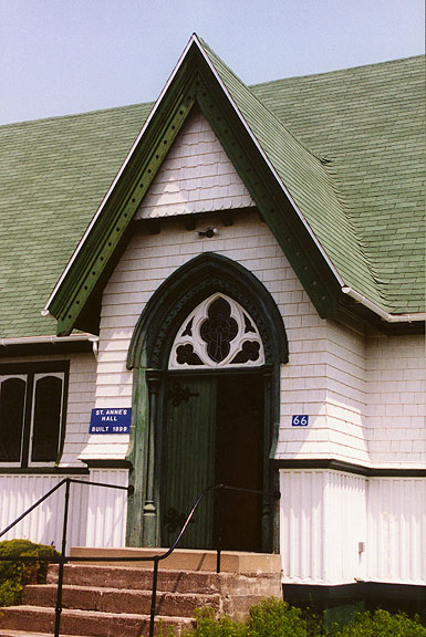
parish hall doorway
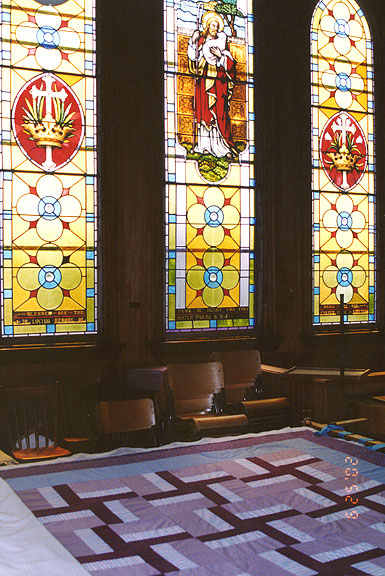
quilting frame in front of stained glass windows
Photos of the Owen House in Welshpool

one person's collection
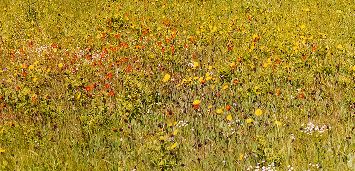
June wild flowers
![]()
Return to Campobello Elderhostel page
![]()