


Aitutaki Atoll
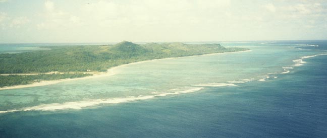
the lagoon
Aitutaki Atoll, one of the Cook Islands, a group of self-governing islands in the east central Pacific Ocean. Aitutaki Atoll consists of a number of volcanic and coral islets around a triangular lagoon, with a total land area of 18 sq km (7 sq mi). The island is a stopover point on the route by air from the island of Fiji to the Society Islands. It lies at 18°52` south latitude and 159°46` west longitude, 230 km (140 miles) north of Rarotonga, the administrative center of the Cook Islands.
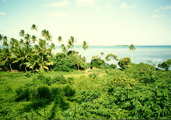
lush vegetation
The largest islet, called Aitutaki, is wooded and fertile, rising 140 m (450 ft) above the sea. Anchorage at the islets is offshore with a boat passage to the main settlement, Arutunga. The airstrip nearby was built by United States forces during World War II (1939-1945). The island’s citizens are Polynesians. Annexed by New Zealand in 1901, the Cook Islands were granted internal self-government in 1965. Population (1991) 2,366.
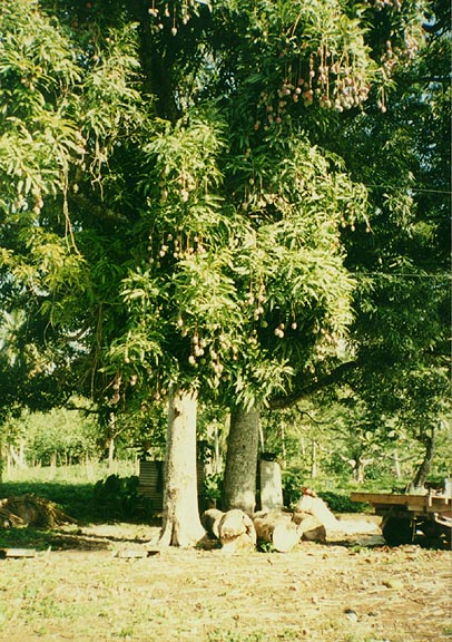
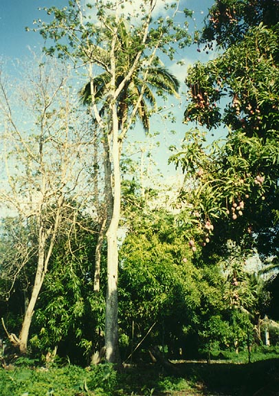
tropical trees
island greenery

fish from the Pacific ocean
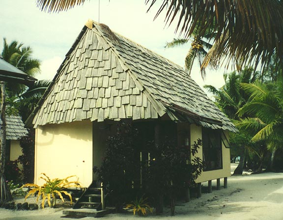
cottage at the Aitutaki Resort Hotel

the Polynesian show at the Resort Hotel

male dancer

female dancer

musicians and dancers
![]()


![]()