


Northern Mariana Islands
Photos from 1989
Tinian

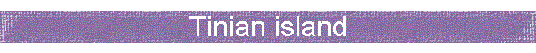
Fleming Hotel
(in 1989 the site of touring, lunch and an excellent Museum of the Japanese
years)
Tinian, island, Commonwealth of the
Northern Mariana Islands, western Pacific Ocean, formerly administered by the
United States (1947-1986) under a United Nations trusteeship, and by Japan
(1919-1944) under a mandate of the League of Nations. Tinian is a coral island
16 km (10 mi) long and 6 km (4 mi) wide. It is notable for its herds of wild
cattle and its ancient ruins, consisting of two rows of truncated pyramids built
of masonry. Following World War I the island, formerly a German possession,
became one of the most heavily fortified Japanese bases in the Pacific. During
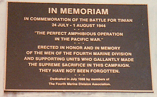
World War II, U.S. forces invaded Tinian on July 23, 1944, and brought the
island under American control within a week. Tinian then became a powerful base
for air operations against the Japanese home islands. Population (1990) 2,118.
Text from Microsoft Encarta
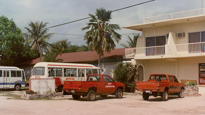
the church, San Jose village
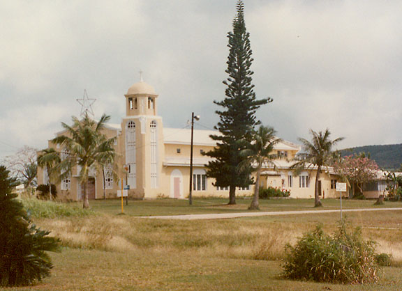
Henry Boy, thanking his 305 voters
who got him elected
and wishing all a Merry Christmas and a Happy New Year in Chamorro
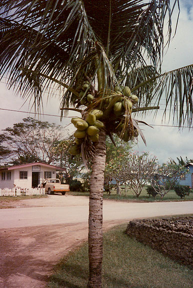
coconuts
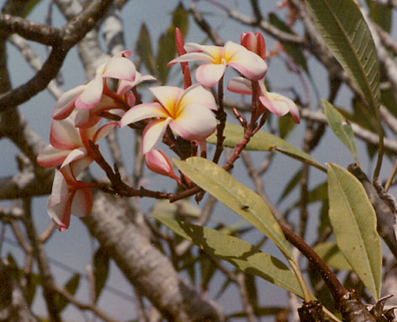
flowering trees
![]()
The Old Days
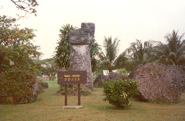
San Jose village, Taga House, built
by Chief Taga
of the ancient Chamorros
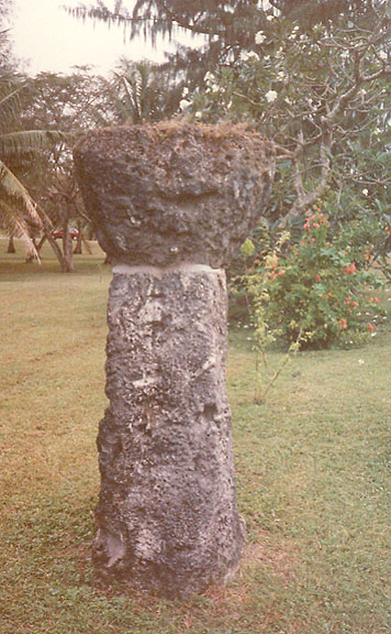
a Latte stone
(one of many stones used to hold up a Latte House)
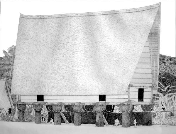
Drawing courtesy of Larry Brewster
Sketch of a Latte House
![]()
Japanese Years

Japanese cemetery
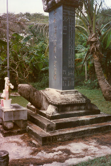
grave detail
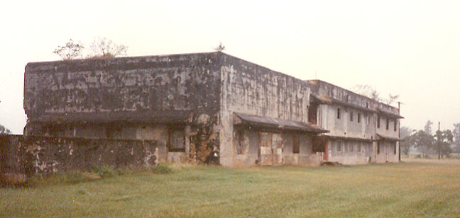
Communication's building
(from the Japanese fortification of the island)
![]()
U. S. Marine landing
at Chulu Beach
![]()
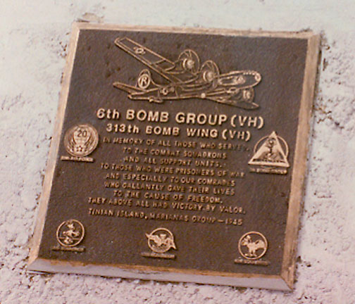
Army Air Force base
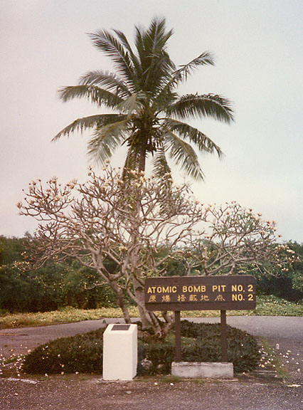
site of loading of the second atomic bomb
"Fat Man" implosion type
(Plutonium)
dropped on Nagasaki, August 9, 1945
detonated at height of 1,700 feet
(128" by 60" diameter, 10,800 lbs.)
![]()
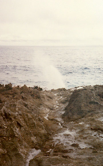
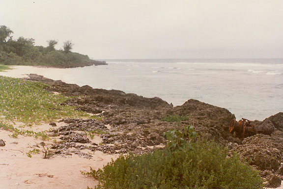
blow hole along the coral coast
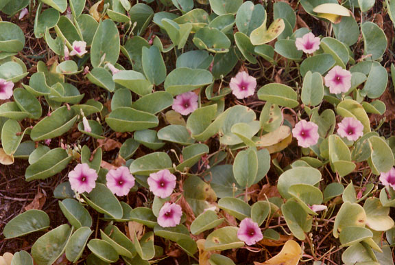
flowers in the low vegetation
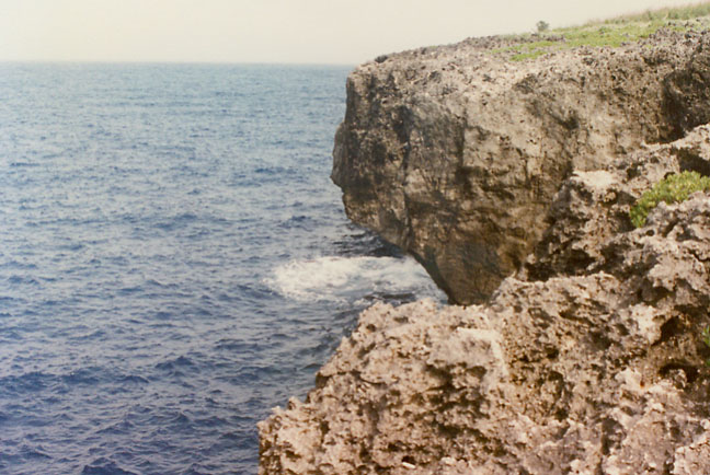
uplifted coral makes a rugged coast line
![]()


Return to Pacific Islands page
![]()