38-36-37
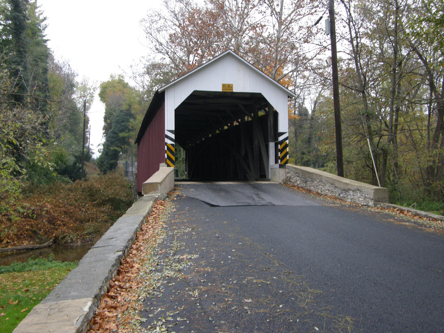
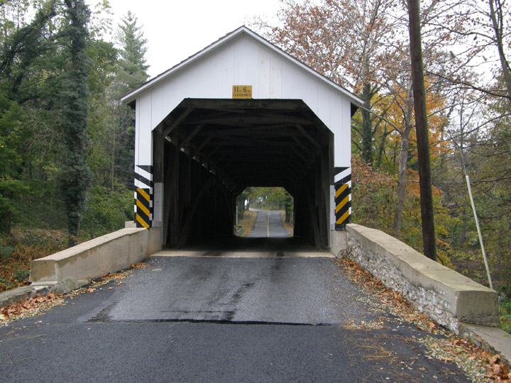
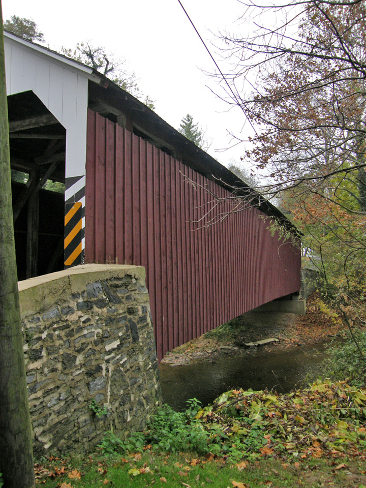
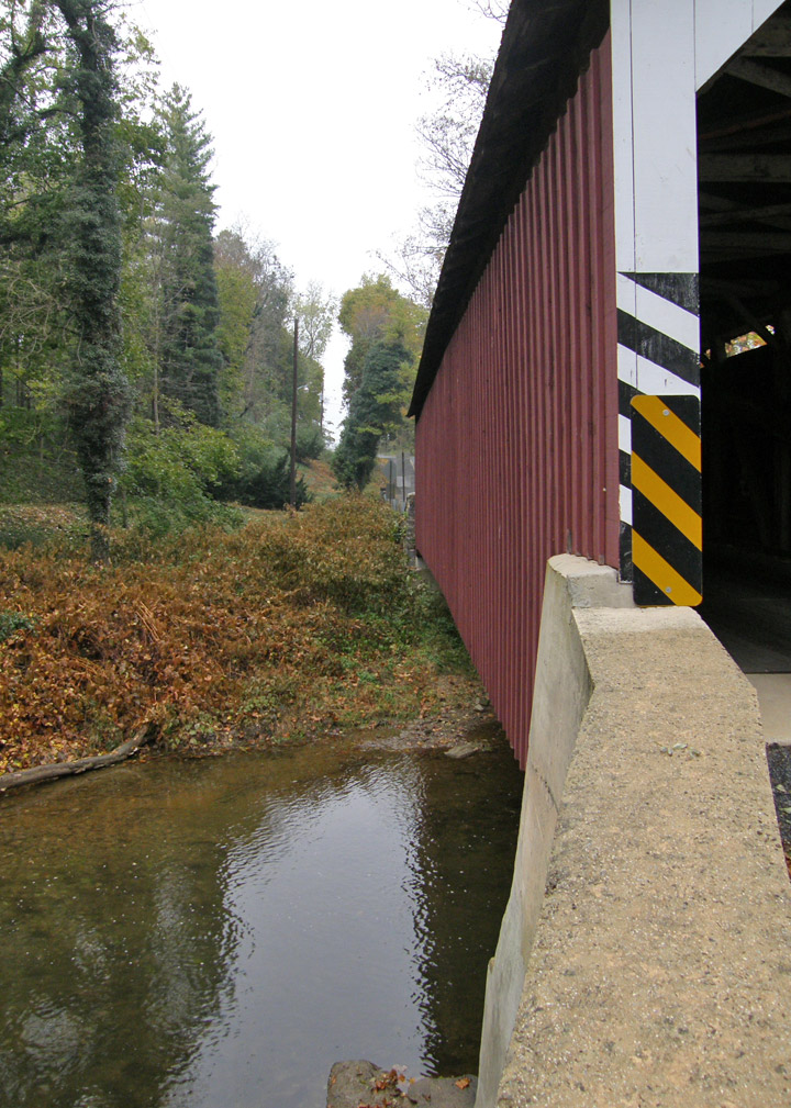
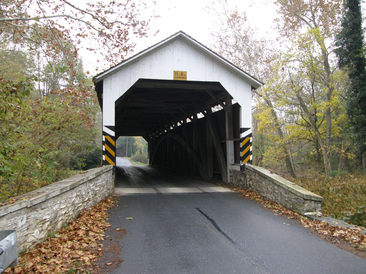
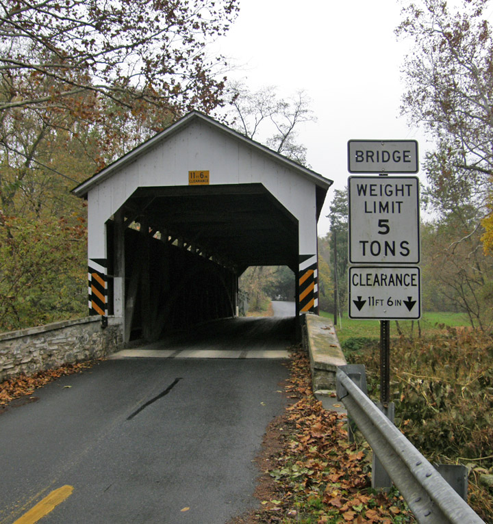
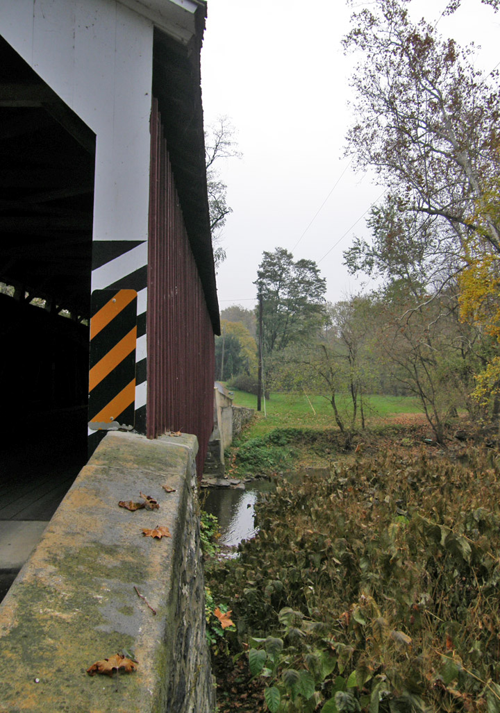
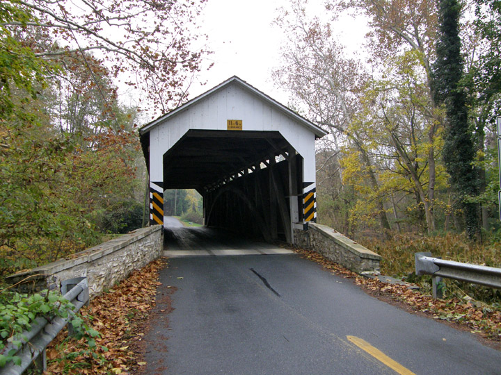
Seigrist Covered Bridge
Lancaster County
GPS
Latitude:
N40 04.62
Longitude:
W76 28.26
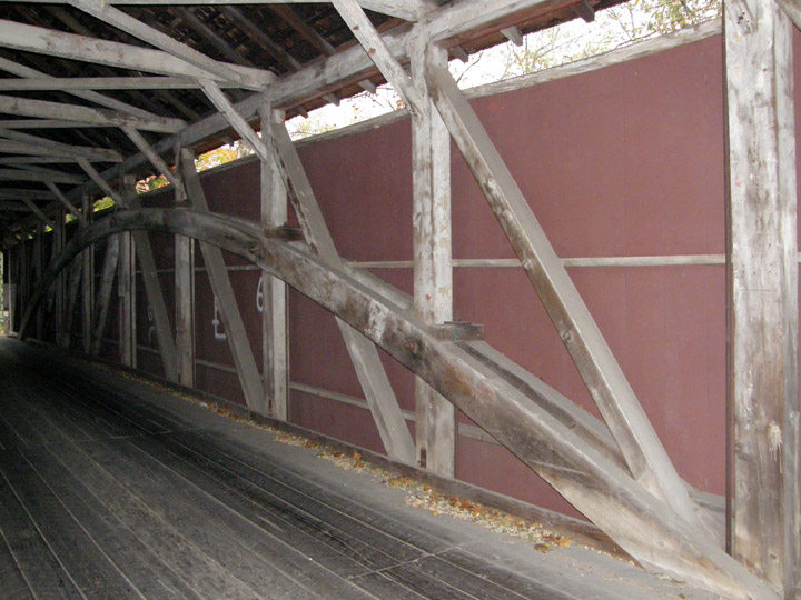
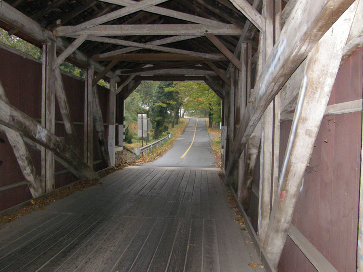
Burr Arch Truss
built in 1885
Map of Latitude: 40.077070Longitude: -76.4710
People and Places