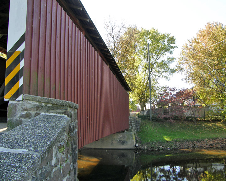
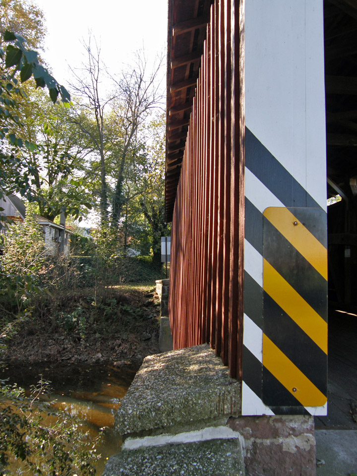
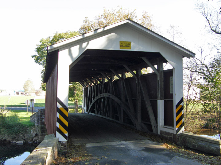
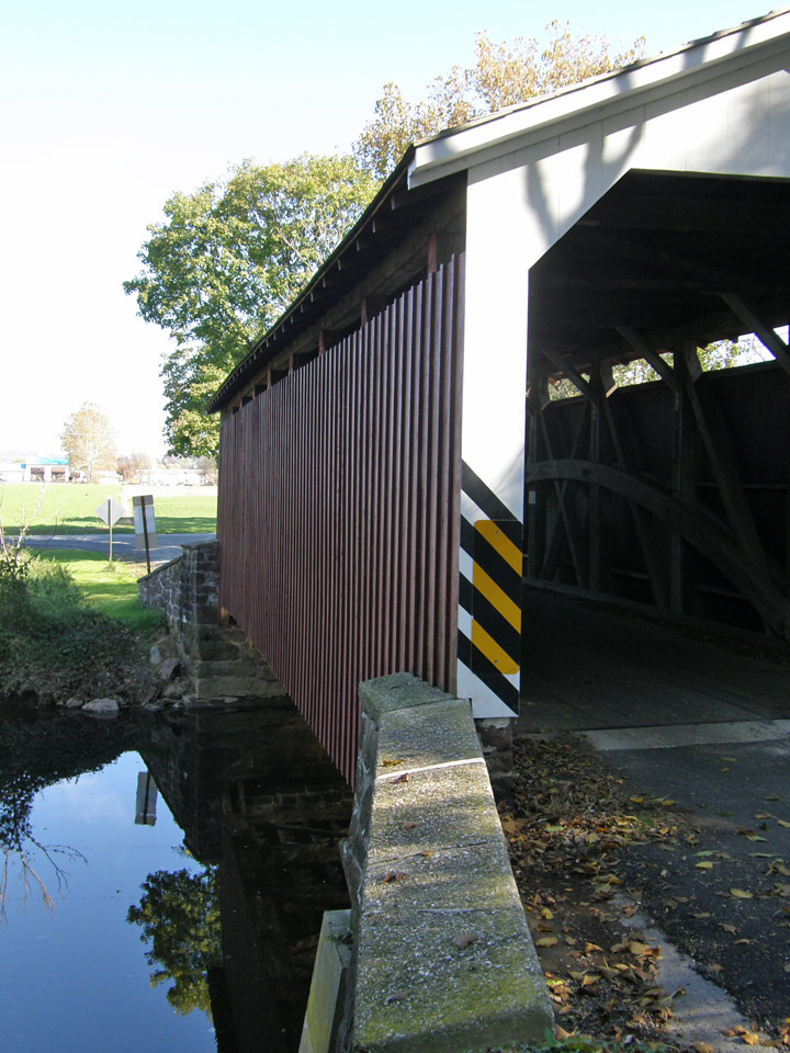
38-36-12
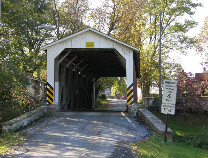
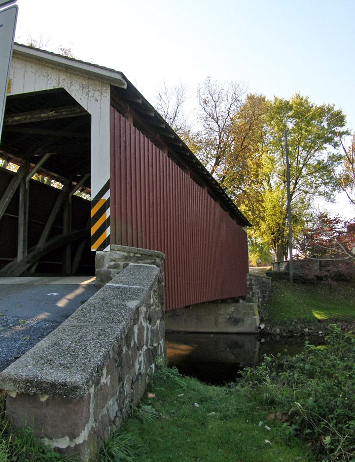
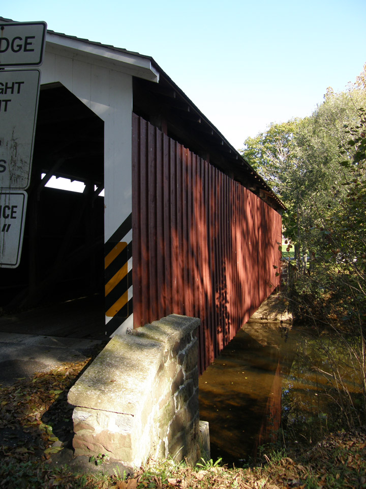
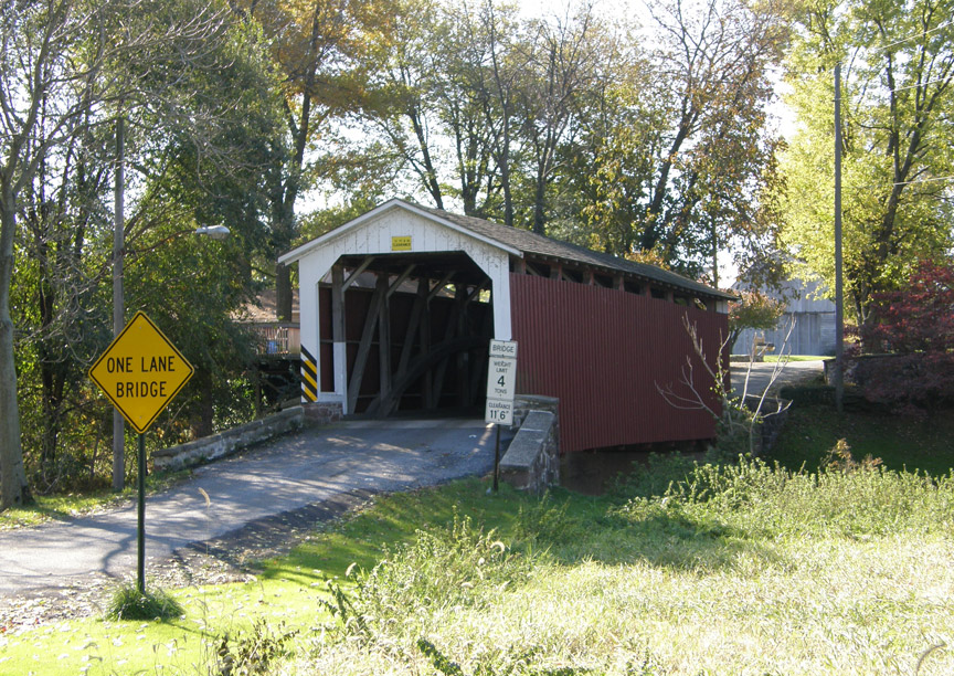
Butchers Mill Covered Bridge
Lancaster County
GPS
Latitude:
N40 12.48
Longitude:
W76 08.09
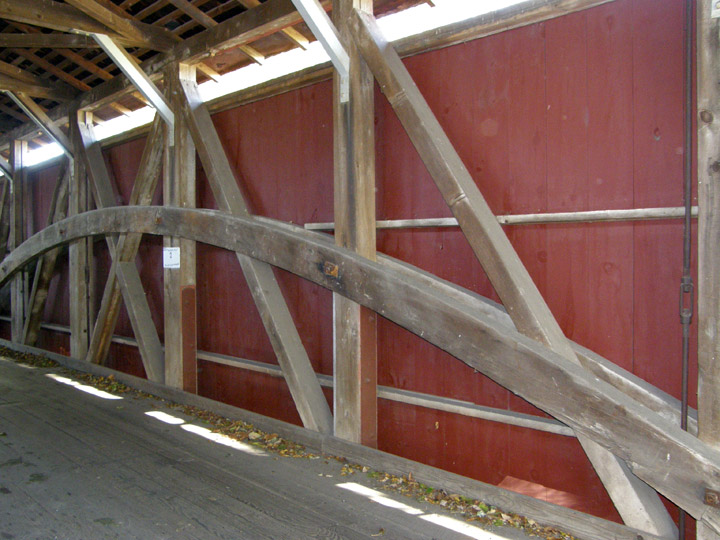
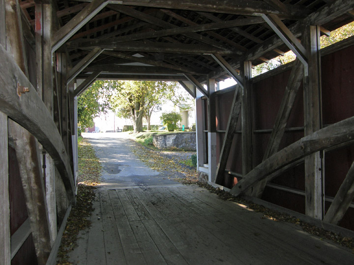
Burr Arch Truss
built in 189292
Map of Latitude: 40.2080Longitude: -76.1348
People and Places