


38-36-18
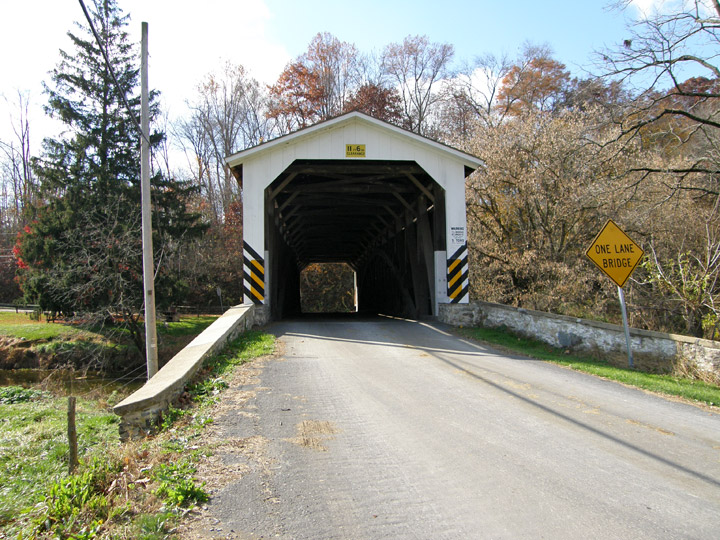
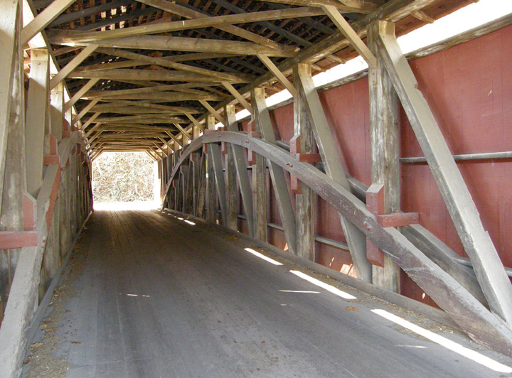
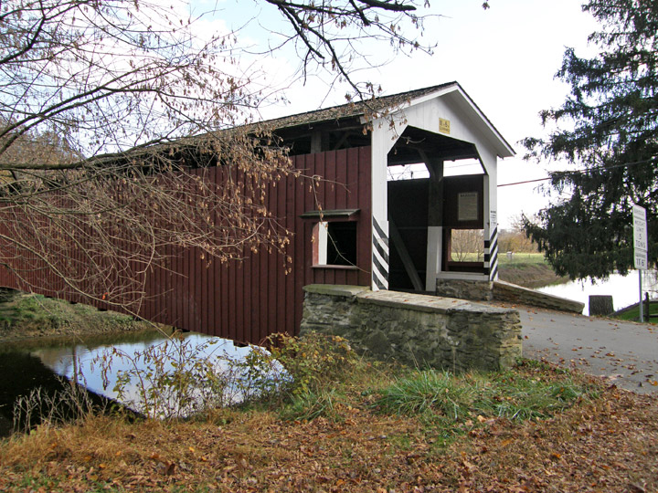
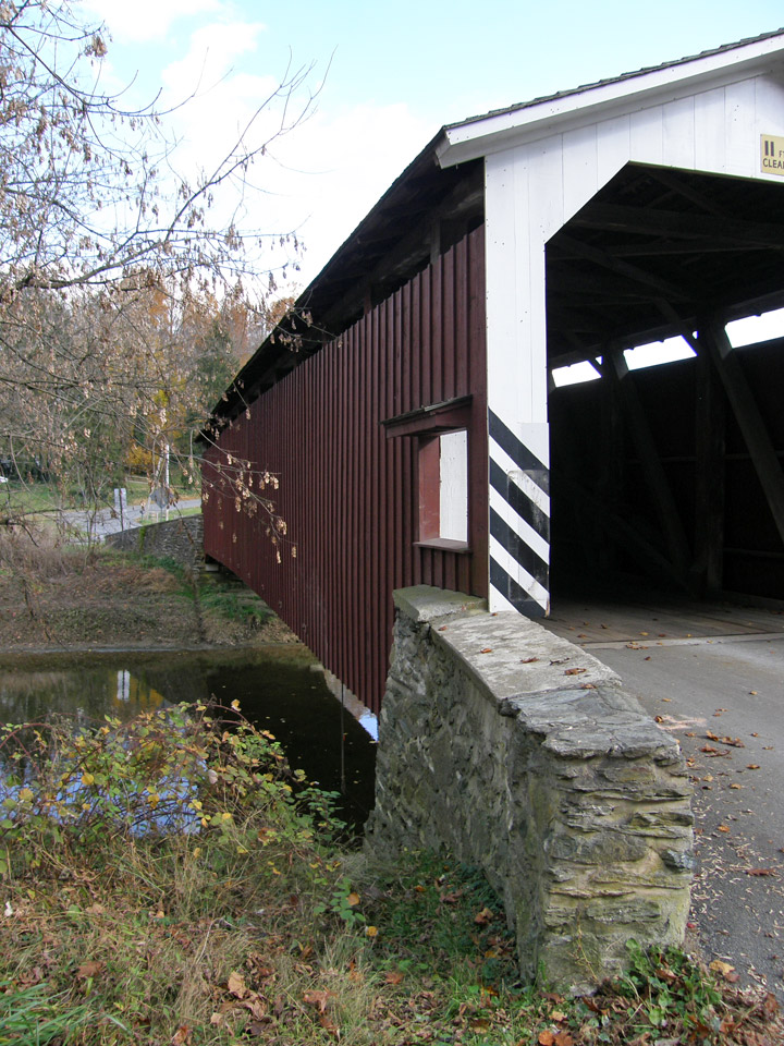
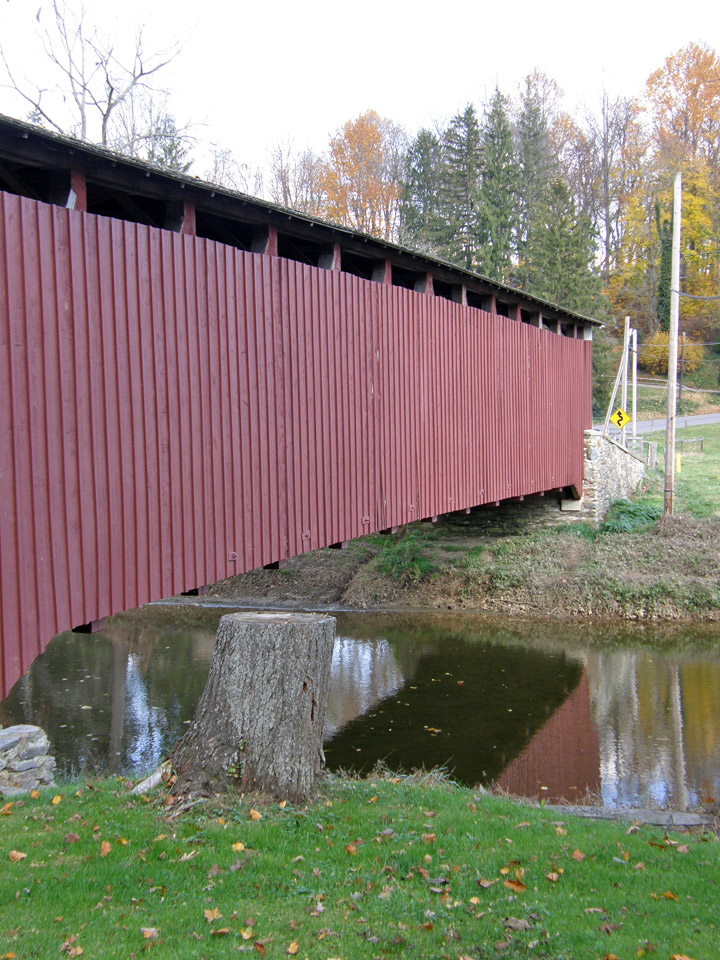
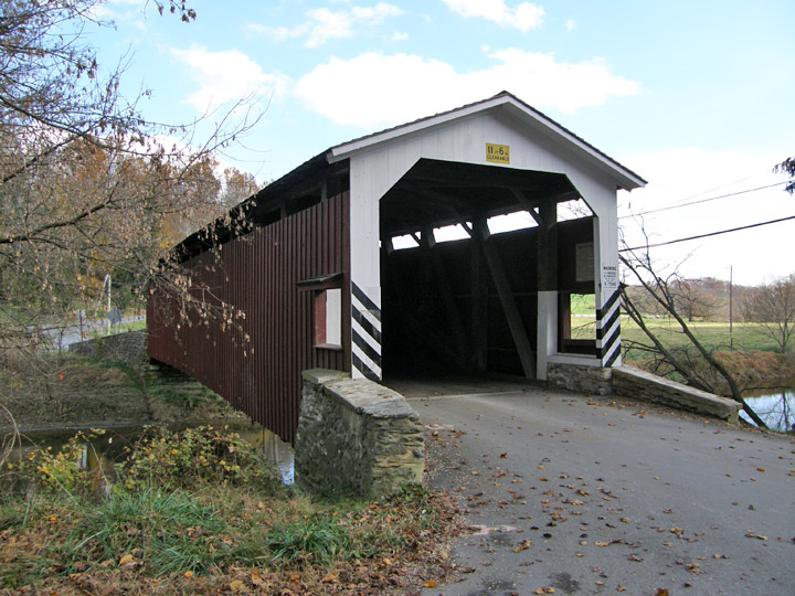
White Rock Forge Covered Bridge
Lancaster County
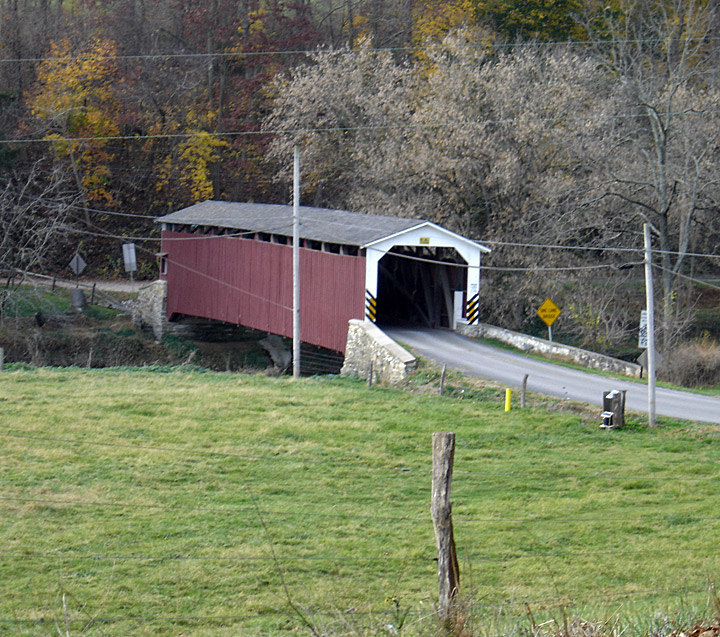
White Rock Forge Covered Bridge
GPS
Latitude:
N39 49.48
Longitude:
W76 05.40
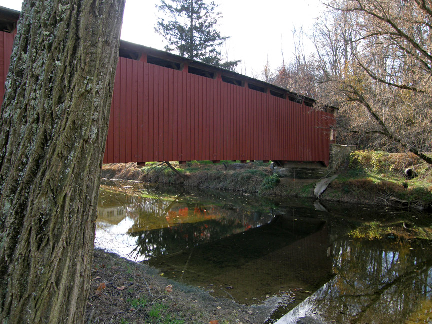
113 feet 1 inch in length
built in 1847
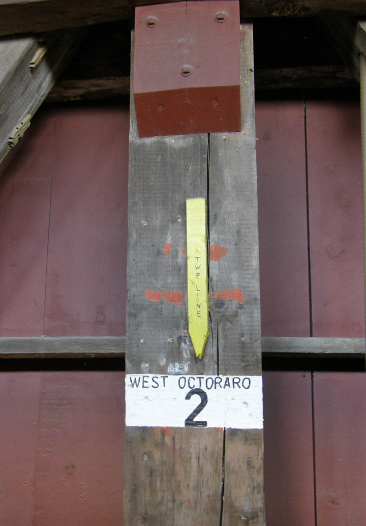
over West Branch of Octoraro Creek
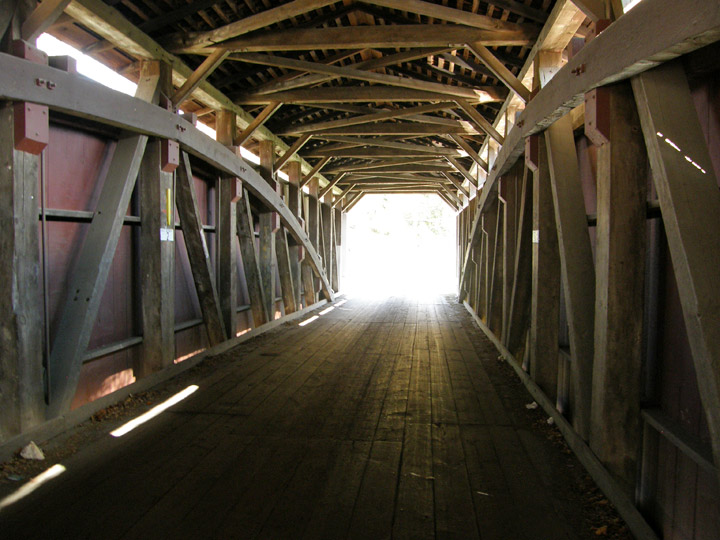
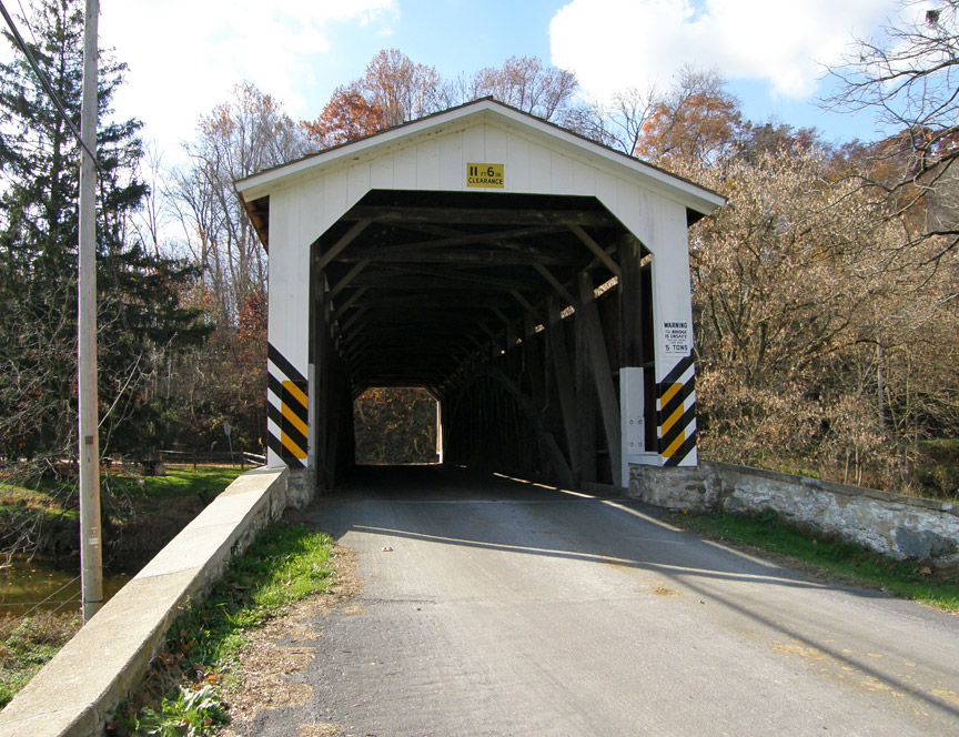
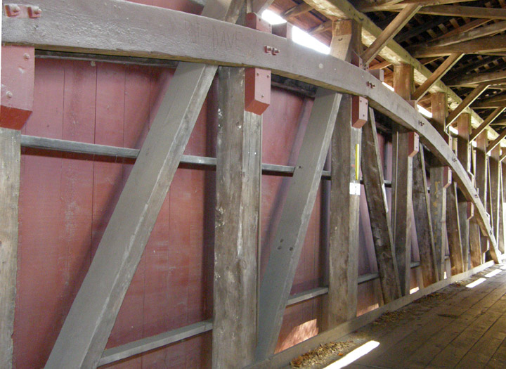
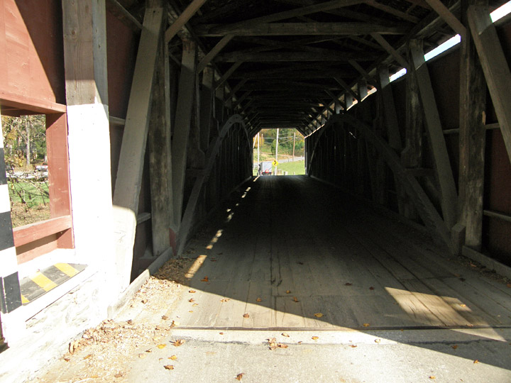
Burr Arch Truss
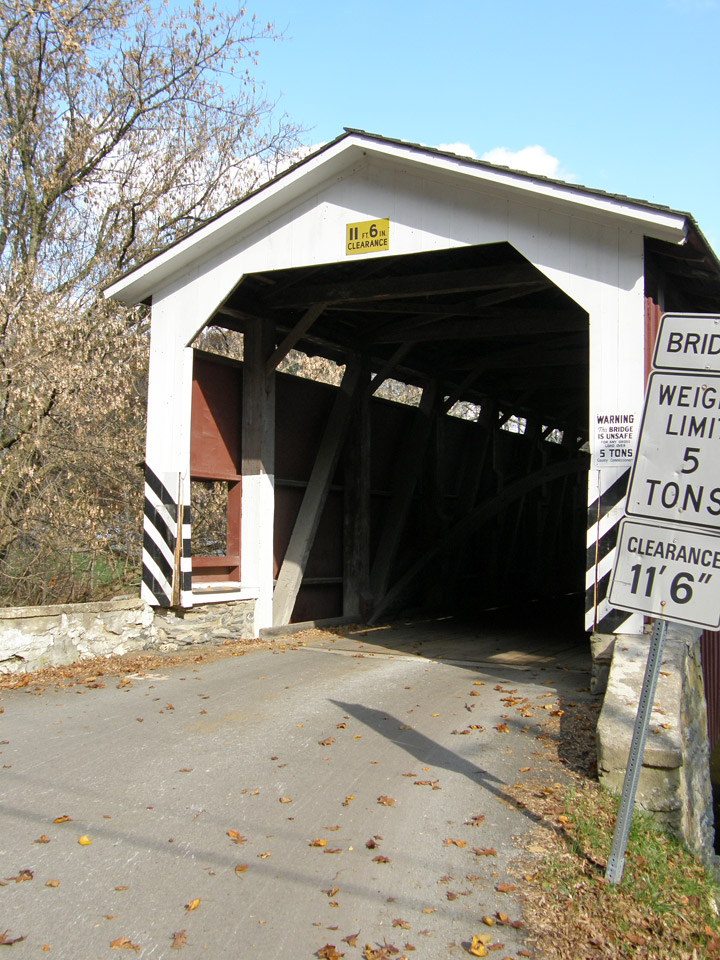
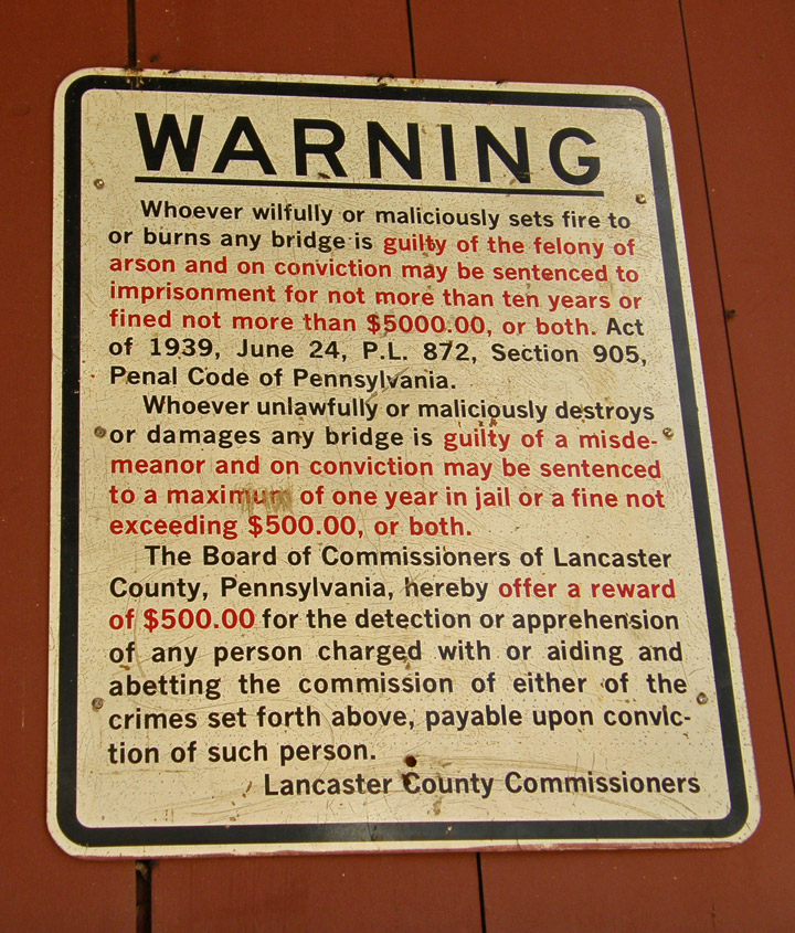
anti-arson warning
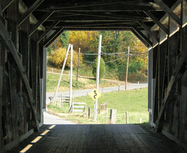
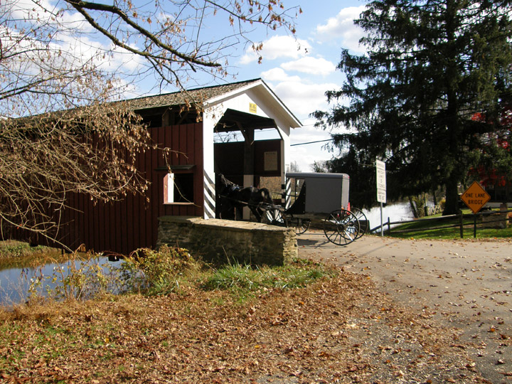
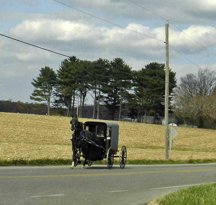
Amish buggy entering the bridge
leaving the bridge
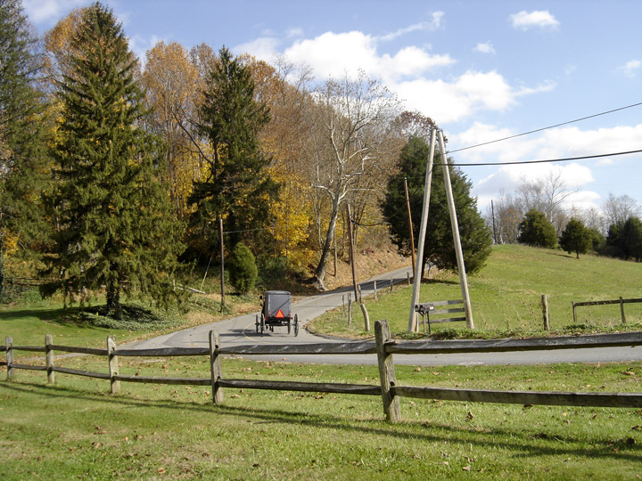
on its way