


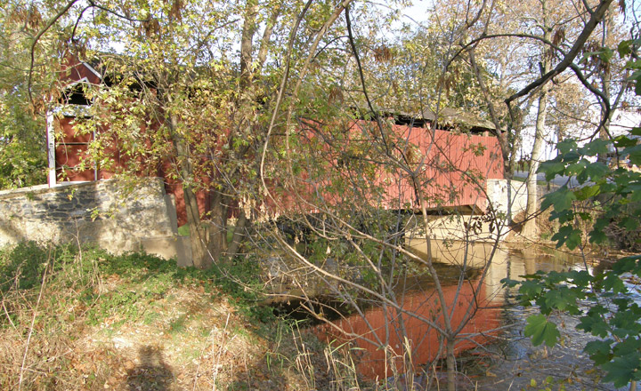
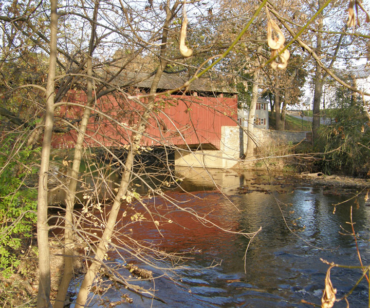
38-36-14
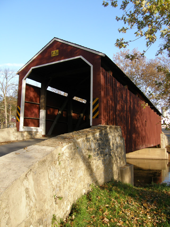
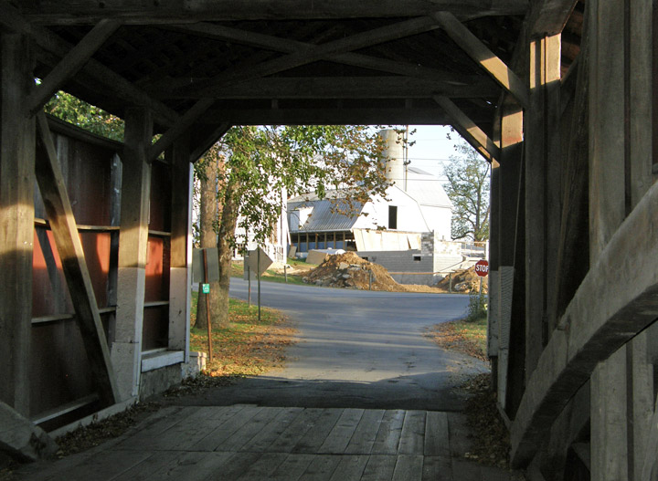
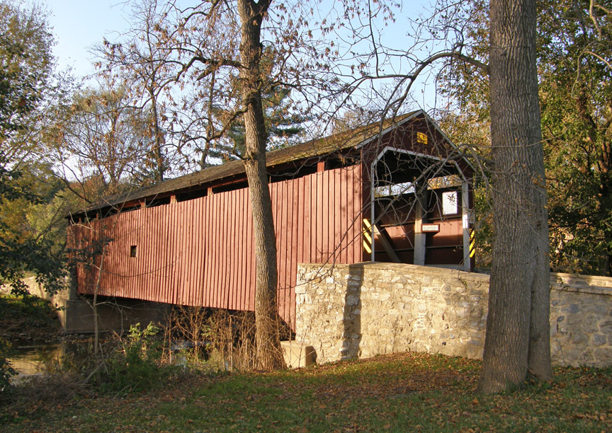
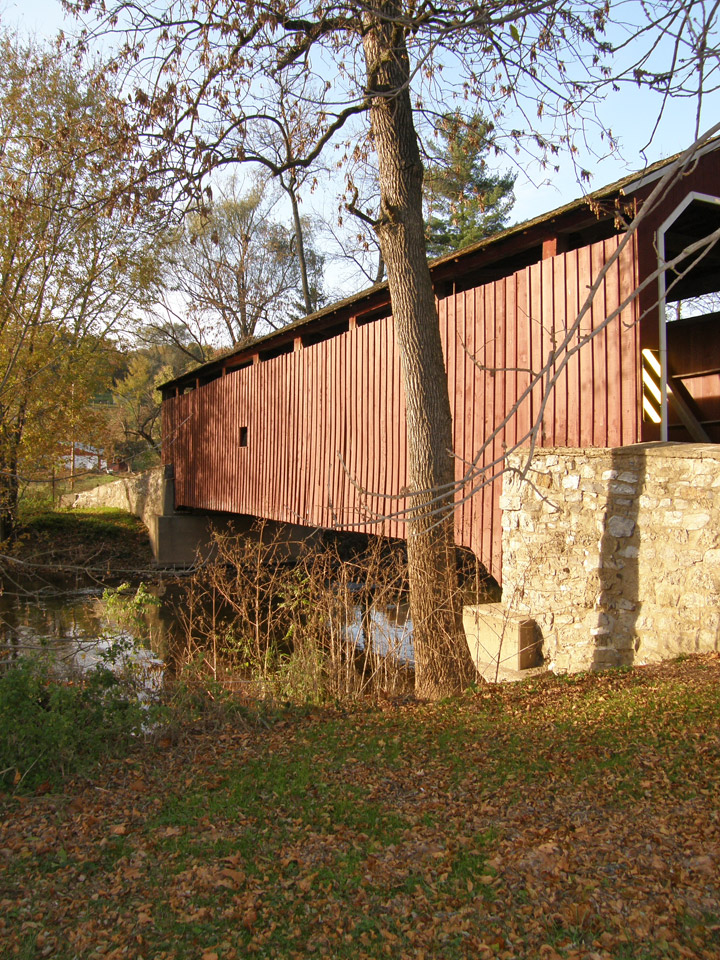
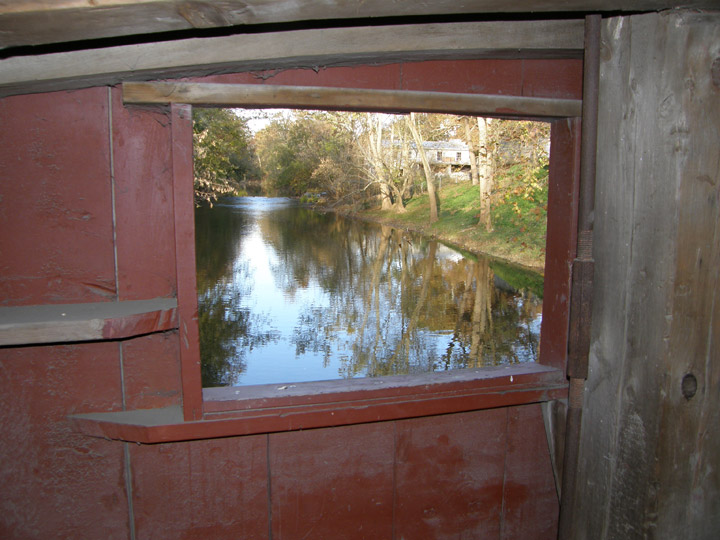
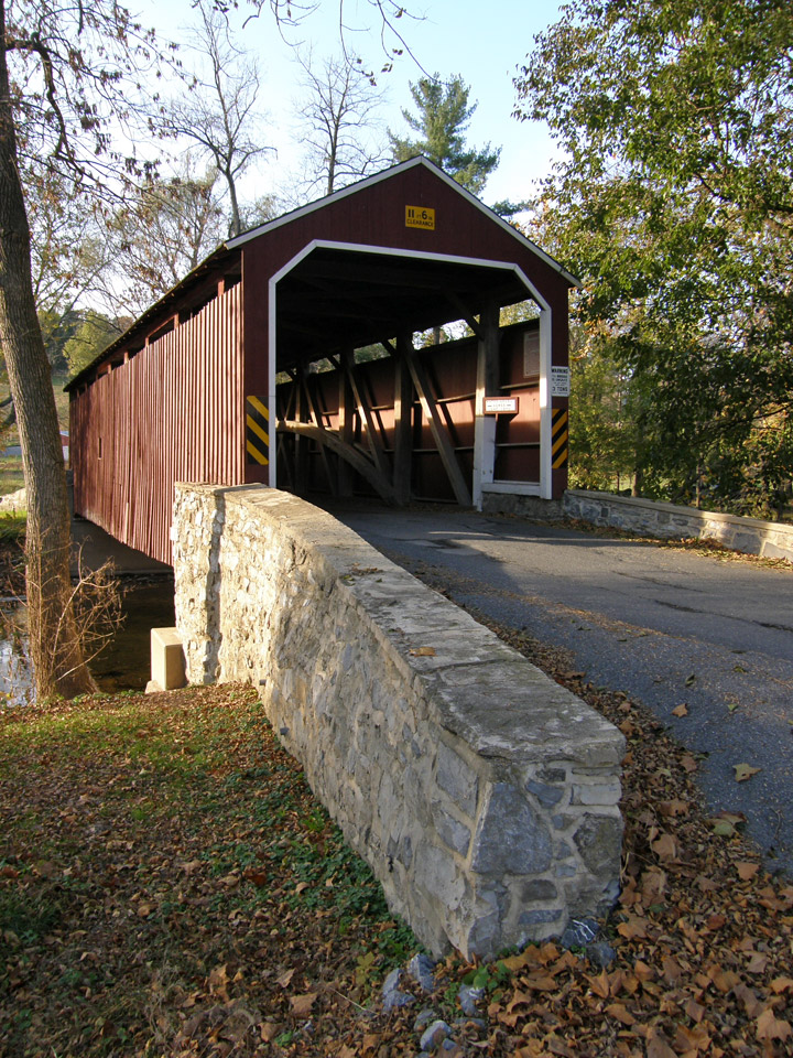
Rosehill Covered Bridge
GPS
Latitude:
N40 07.80
Longitude:
W76 13.91
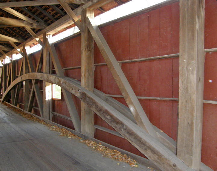
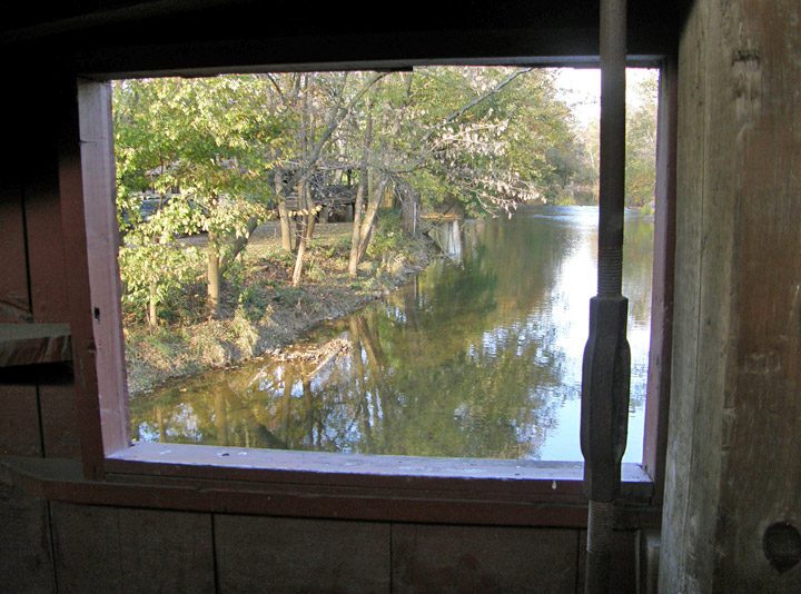
Burr Arch Truss
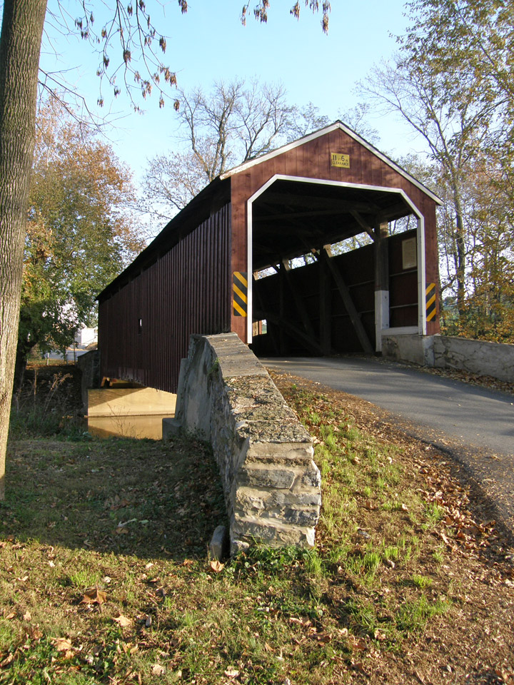
95 foot span
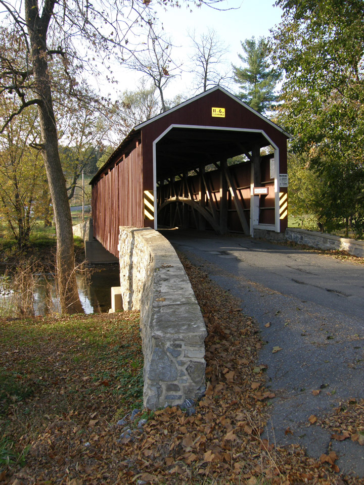
built in 1849
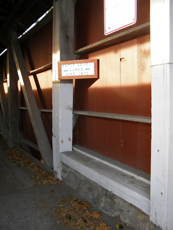
flooded during hurricane Agnes
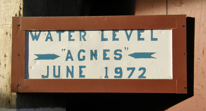
June 1972
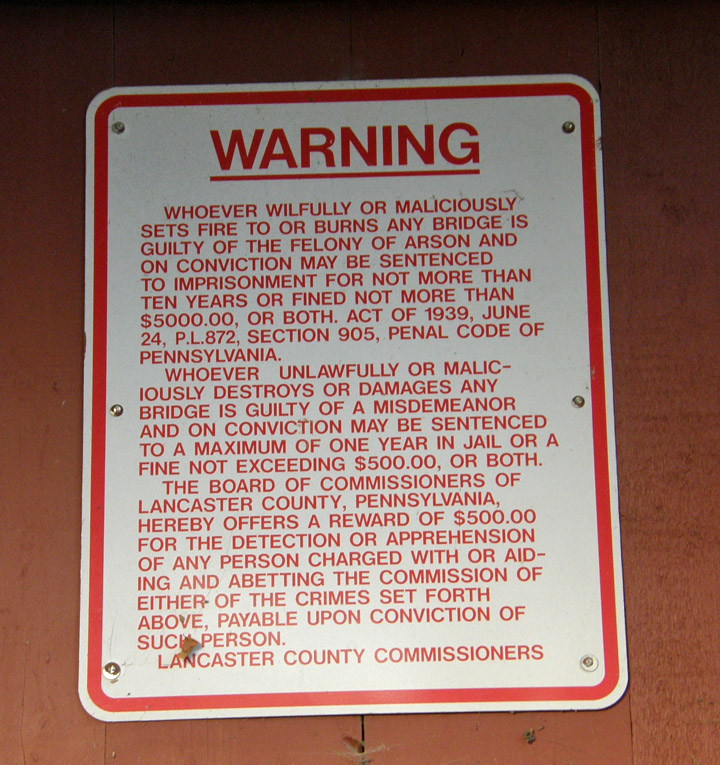
Lancaster County notice
Map of
Latitude: 40.1300
Longitude: -76.2318