


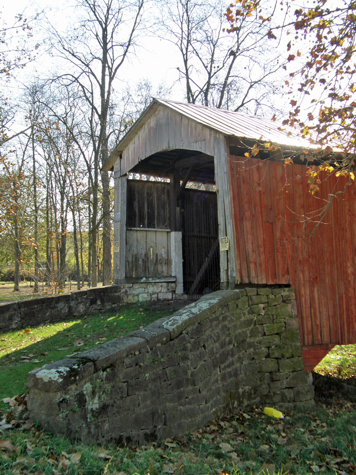
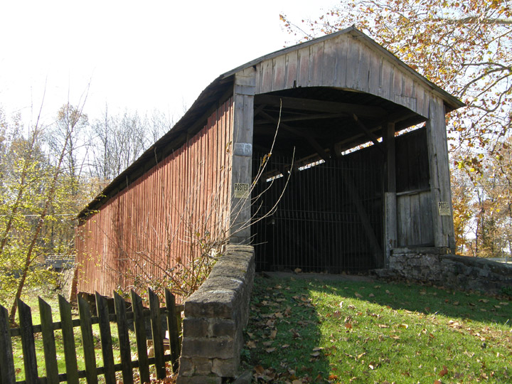
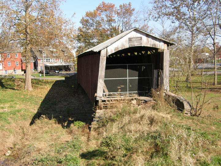
38-36-10
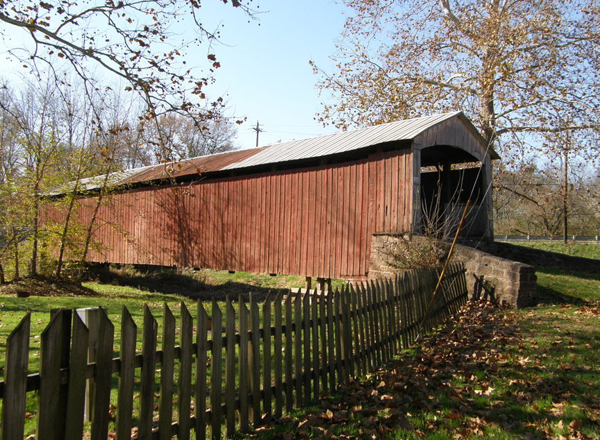
Red Run Covered Bridge
Lancaster County
GPS
Latitude:
N40 10.57
Longitude:
W76 05.00
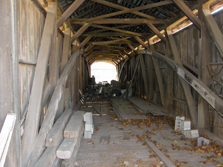
Burr Arch Truss
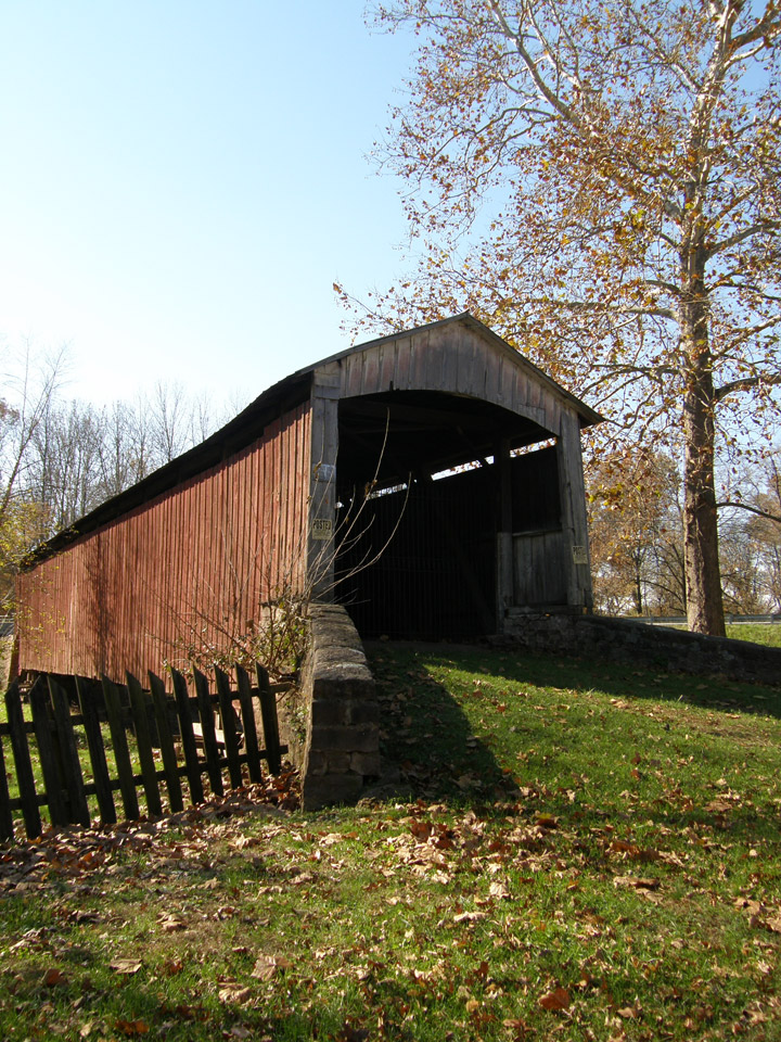
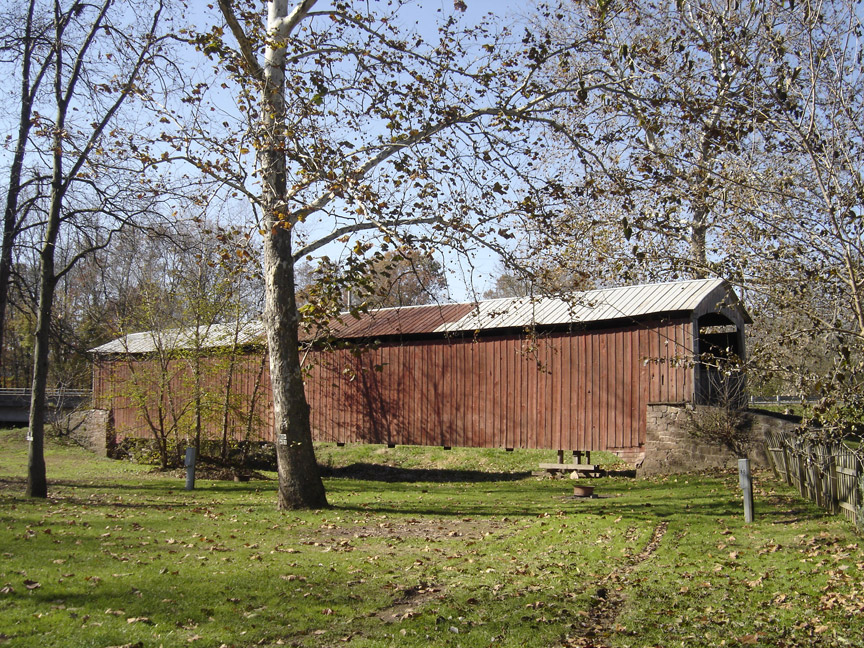
128 foot span
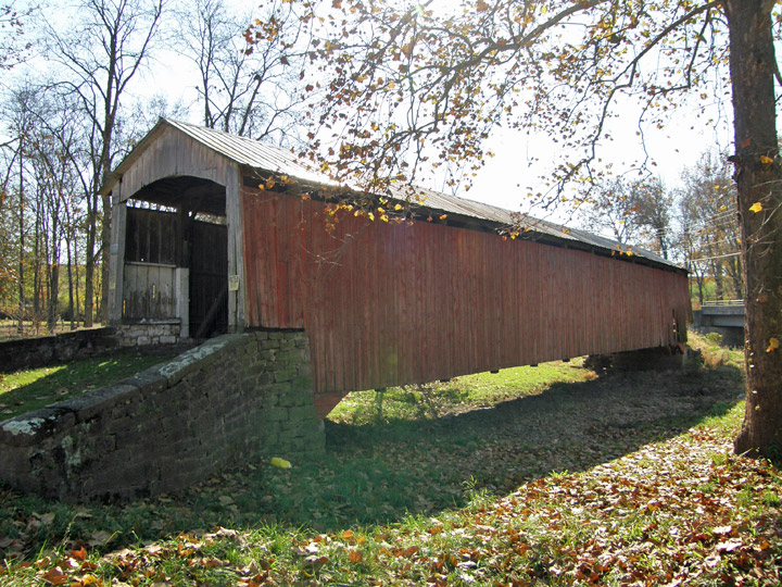
built in 1866
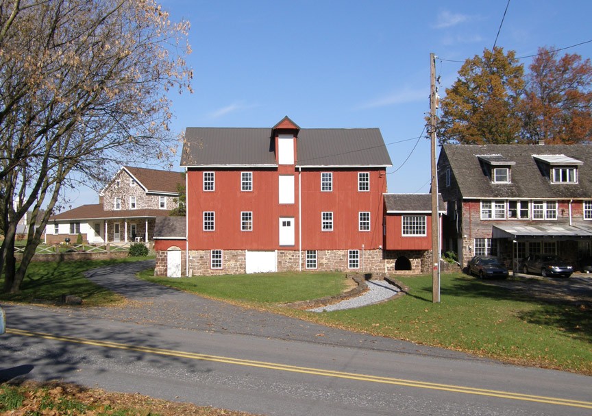
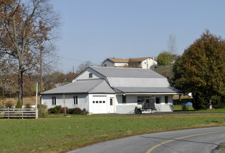
nearby farm
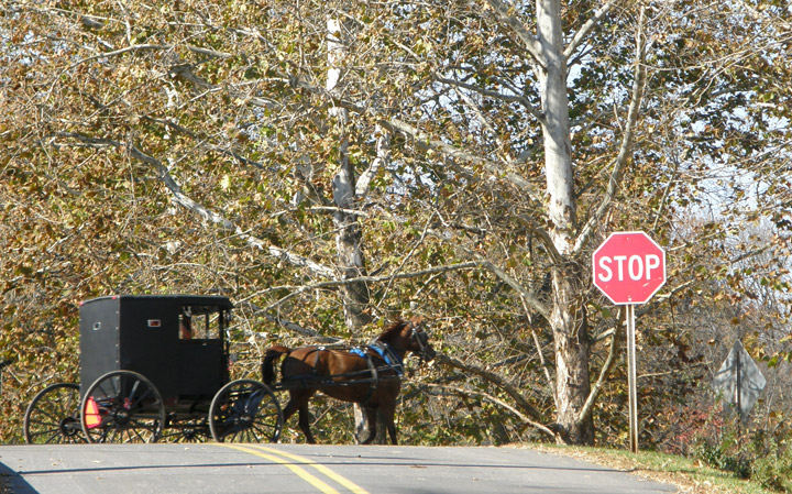
Amish going to church in a buggy
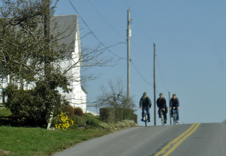
Amish boys on bikes
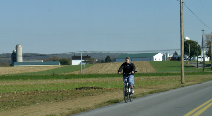
Amish woman on a bike
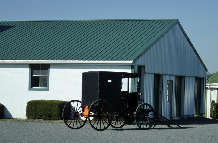
buggy by the farm shed

Amish farm
Map of
Latitude: 40.1762
Longitude: -76.0833