


38-36-15
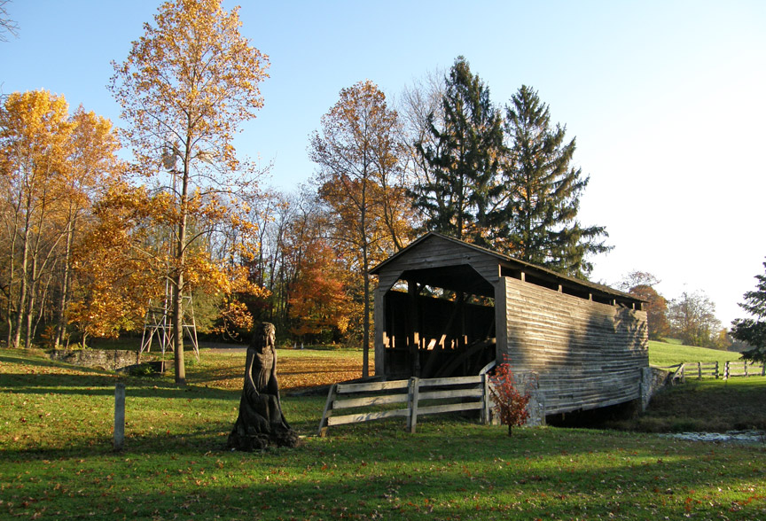
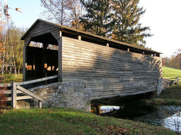
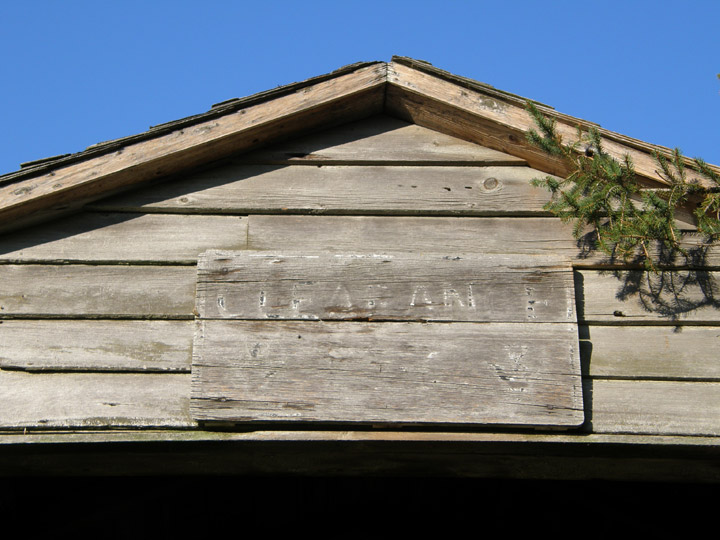
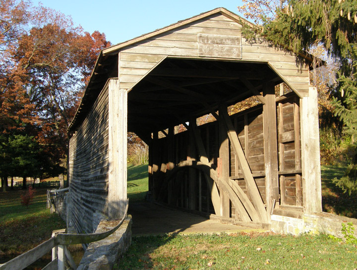
Abram Hess' Mill Covered Bridge
Buck Hill
Eichelberger's Store Bridge
Lancaster County
Abram Hess' Mill Covered Bridge
GPS
Latitude:
N40 07.94
Longitude:
W76 18.03
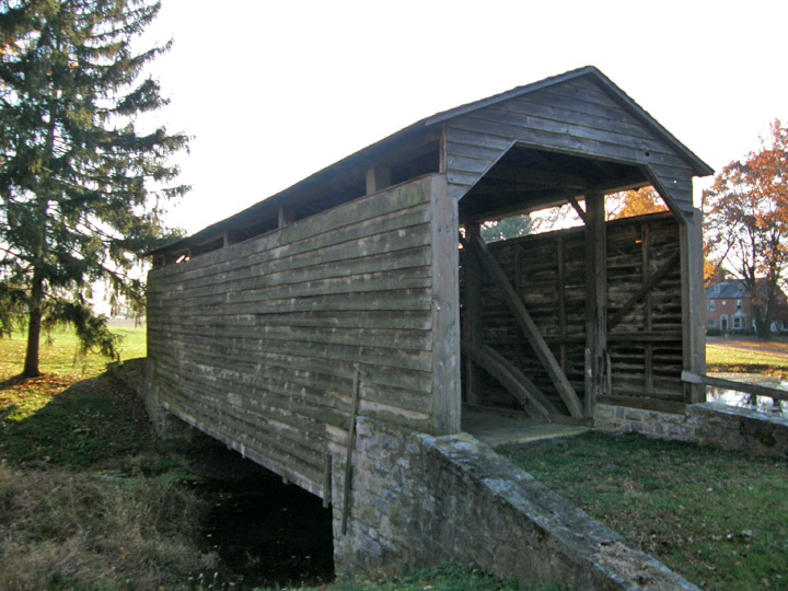
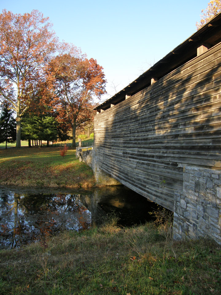
58 feet long
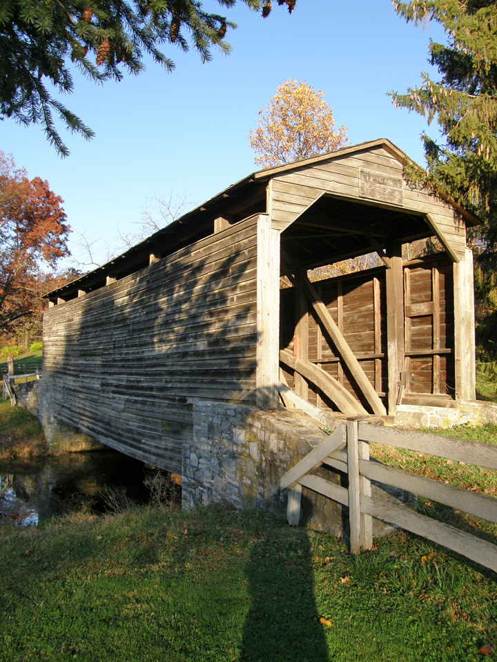
over a farm pond inlet
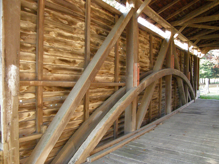
Burr Arch Truss
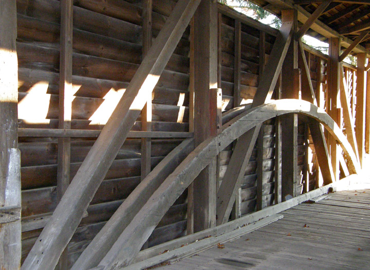
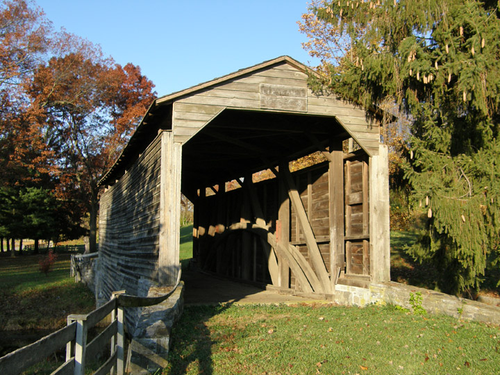
built in 1844
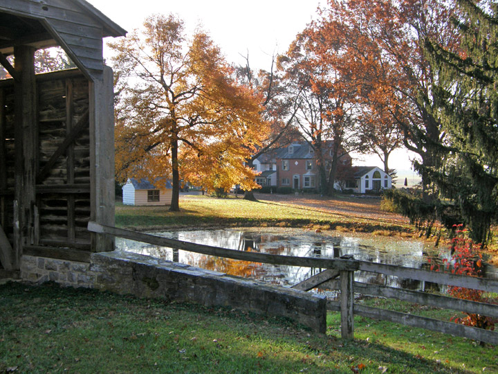
Buck Hill Farm house
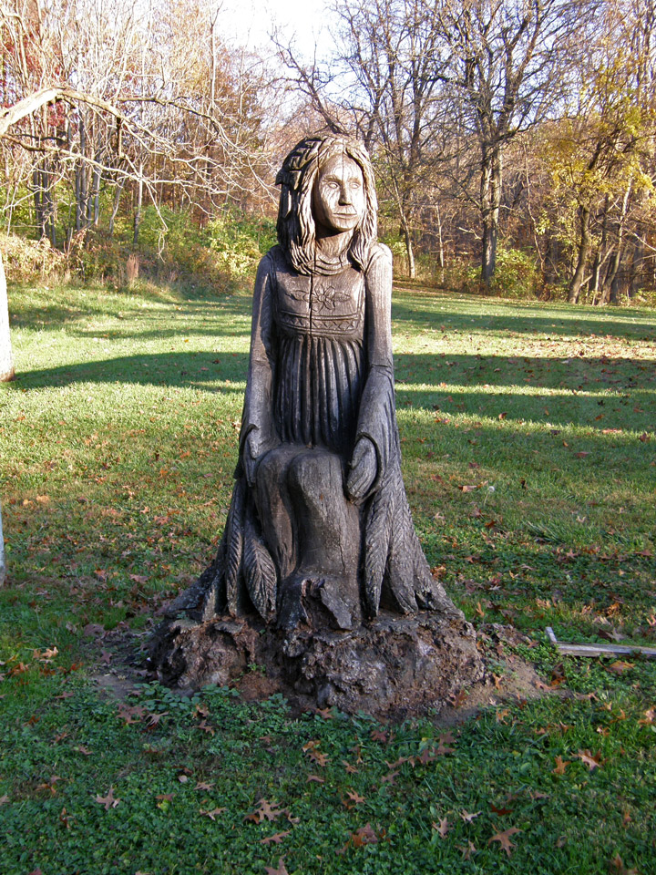
stump carving