38-36-31

38-36-01 38-36-02 38-36-03 38-36-04 38-36-05 38-36-06 38-36-10 38-36-12 38-36-14 38-36-15 38-36-18 38-36-20 38-36-21 38-36-22 38-36-23 38-36-25 38-36-28 38-36-30 38-36-31 38-36-32 38-36-33 38-36-34 38-36-37 39-36-43 38-36-55

38-36-31

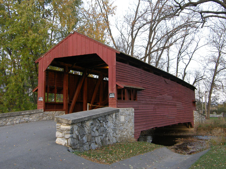
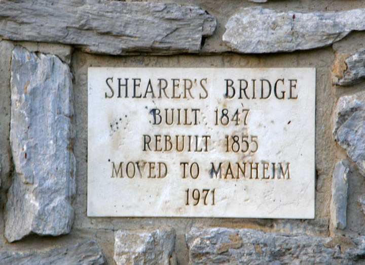
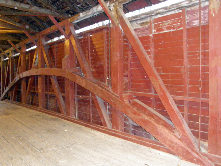
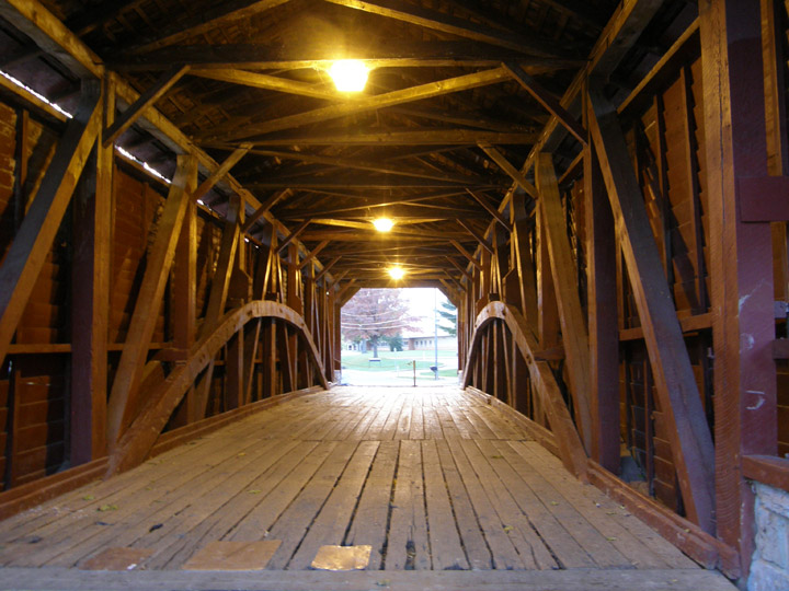
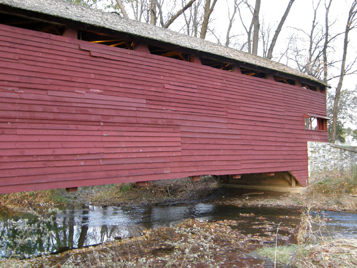
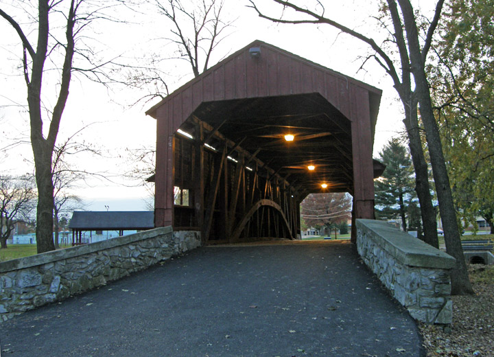
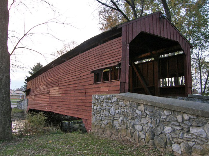
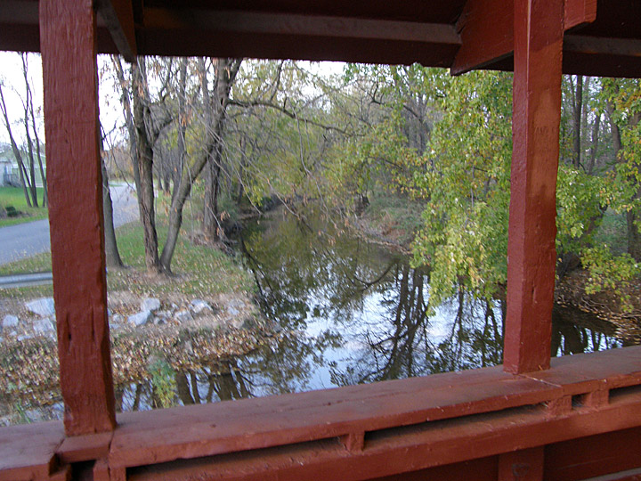
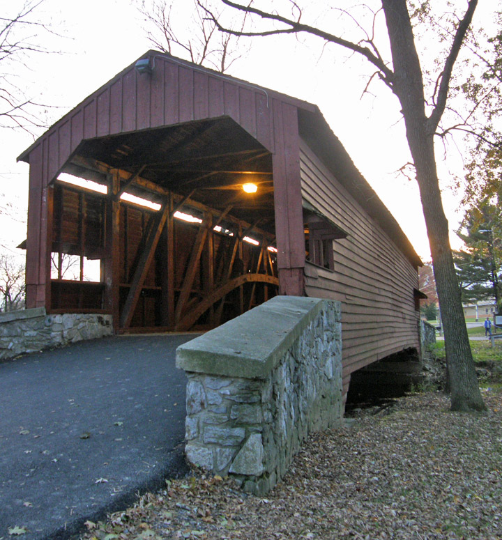
Shearer Covered Bridge

Lancaster County


GPS

Latitude:

N40 10.28

Longitude:

W76 23.41


built in 1847, rebuilt in 1855


83 foot spanan


 Map of
 Latitude: 40.1713
Longitude: -76.3902


38-36-01 38-36-02 38-36-03 38-36-04 38-36-05 38-36-06 38-36-10 38-36-12 38-36-14 38-36-15 38-36-18 38-36-20 38-36-21 38-36-22 38-36-23 38-36-25 38-36-28 38-36-30 38-36-31 38-36-32 38-36-33 38-36-34 38-36-37 39-36-43 38-36-55

Berks County Chester County Cumberland County Dauphin County Delaware County Lancaster County Lehigh County Northampton County Perry County Schuylkill County Snyder County Somerset County Westmoreland County

World Heritage Mosaics Roman World Africa Antarctica Asia Atlantic Islands Australia Caribbean Central America Europe Indian Ocean Middle East North America Pacific Islands South America The Traveler Recent Adventures Adventure Travel


People and Places