


Vermont Covered Bridges


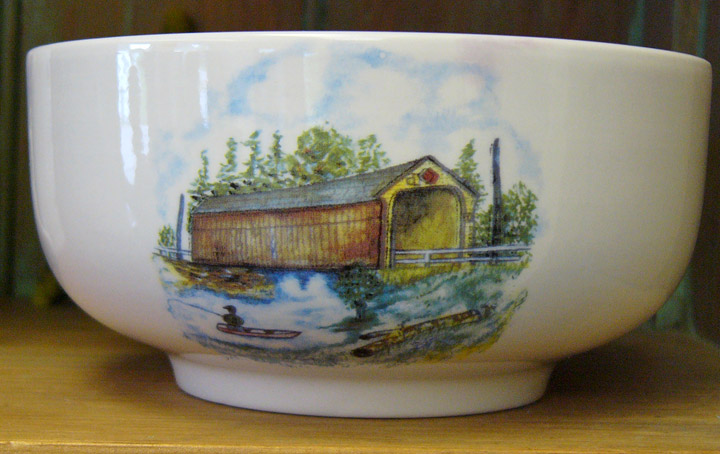
covered bridges celebrated in pottery
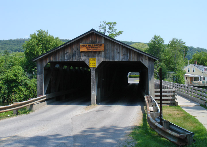
Pulp Mill Covered Bridge, Addison County
Covered Bridges of Addison County
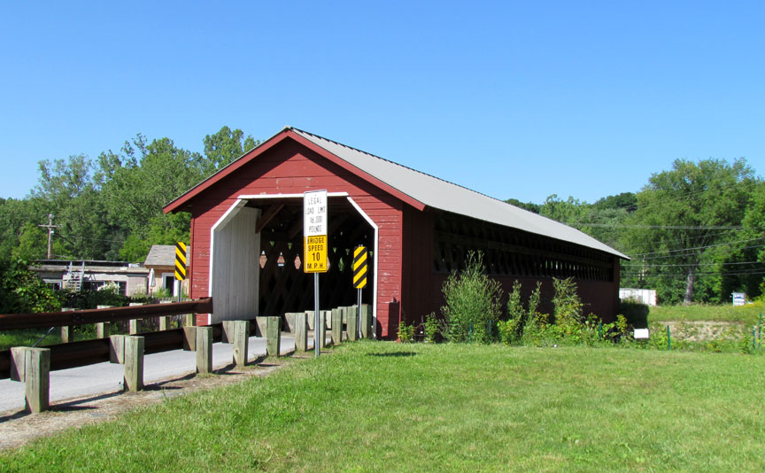
Paper Mill Village Covered Bridge, Bennington County
Covered Bridges of Bennington County
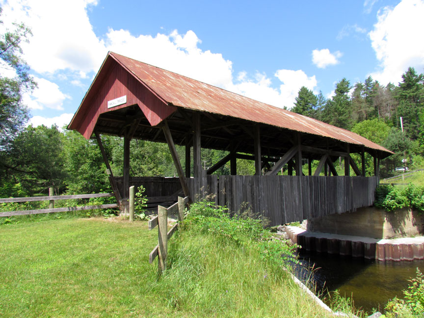
Randall Covered Bridge, Caledonia County
Covered Bridges of Caledonia County
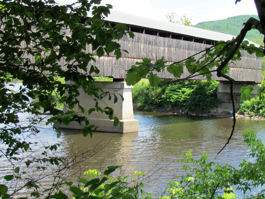
Mount Orne Covered Bridge, Essex County
Covered Bridges of Essex County
East Fairfield Covered Bridge, Franklin County
Covered Bridges of Franklin County
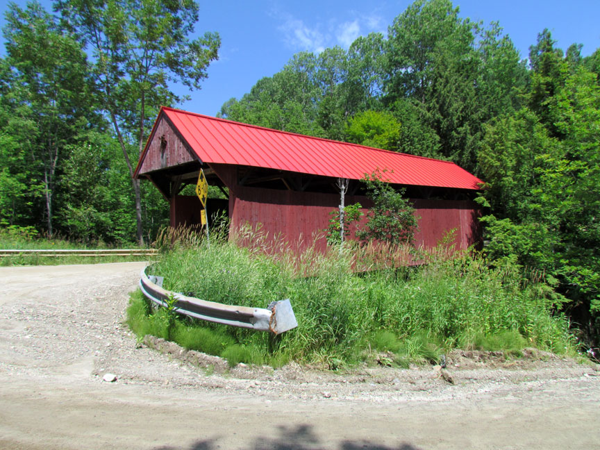
Red Covered Bridge, Lamoille County
Covered Bridges of Lamoille County
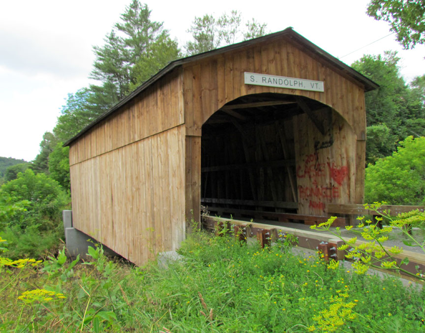
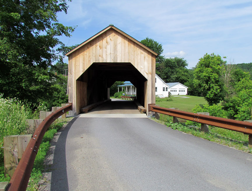
Kingsbury Covered Bridge, Orange County
Covered Bridges of Orange County
River Road Covered Bridge, Orleans County
Covered Bridges of Orleans County
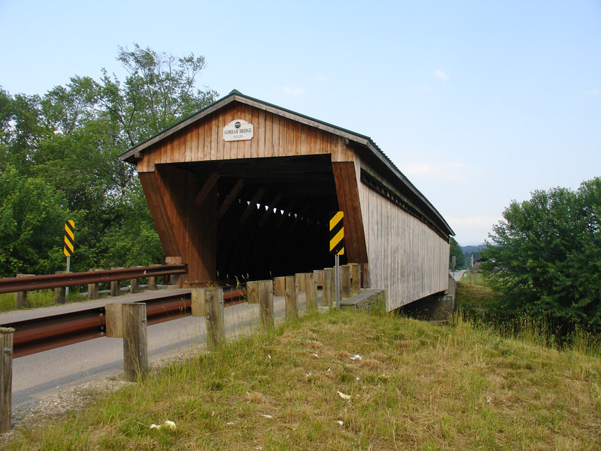
Gorham Covered Bridge, Rutland County
Covered Bridges of Rutland County
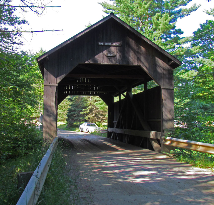
Pine Brook Covered Bridge, Washington County
Covered Bridges of Washington County
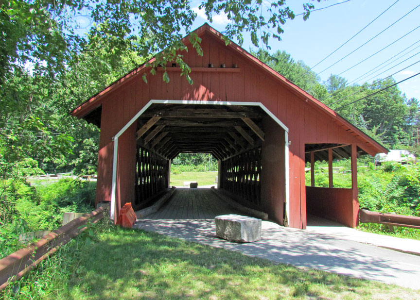
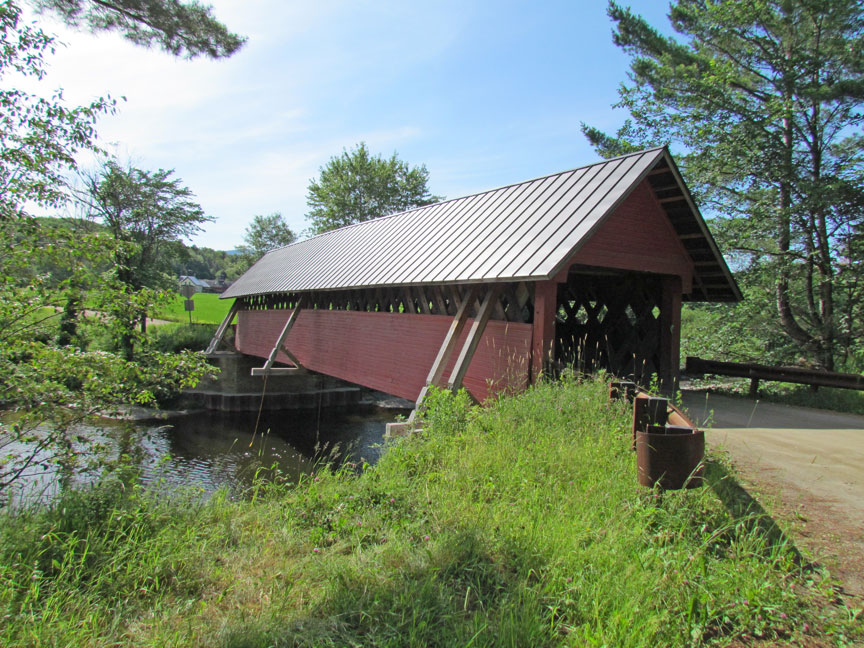
Creamery Covered Bridge, Windham County
Covered Bridges of Windham County
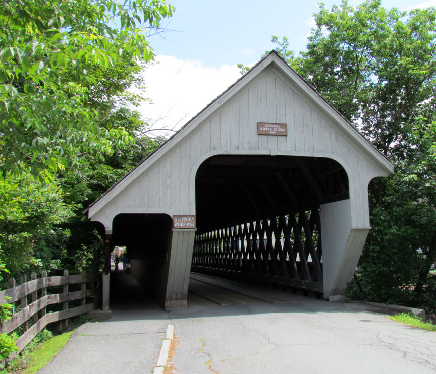
Middle Covered Bridge, Windson County
Covered Bridges of Windson County
Any one seriously interested in finding any of the 107 covered bridges in Vermont should consult:
Ed Barna, "Covered Bridges of Vermont", The Countryman Press (1996)
As a courtesy I have listed GPS
position locations of the bridges I have photographed,
but Mr. Barna shows maps and detailed directions.