


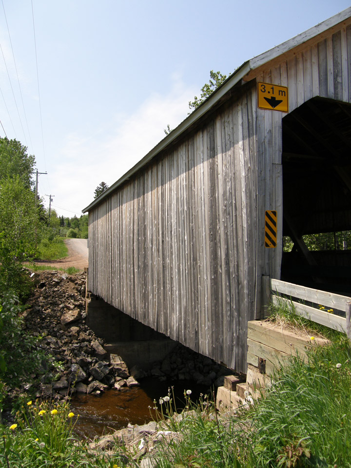
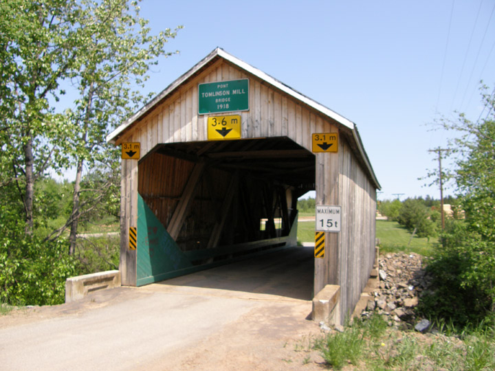
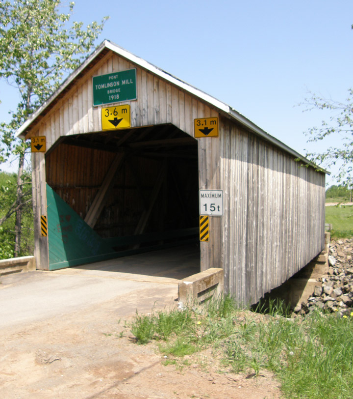
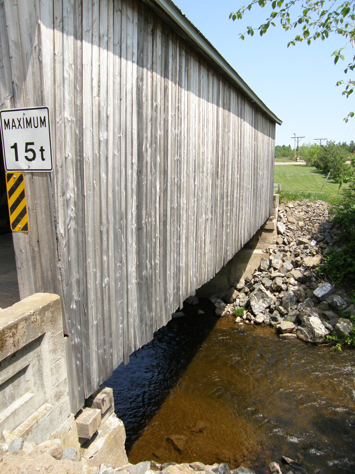
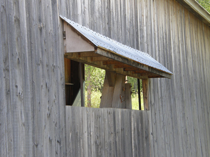
Tomlinson Mill
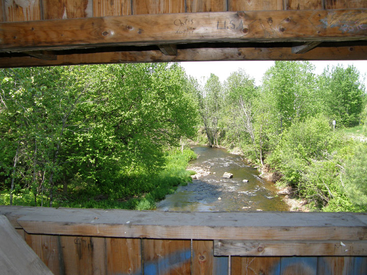
Odellach River # 2
Victoria County
55-13-03
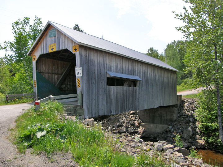
Span: 60' Length: 63'
GPS
N 46 deg 46.81 min
W 67 deg 29.77 min
Map of Latitude: 46.780167
Longitude: -67.496167

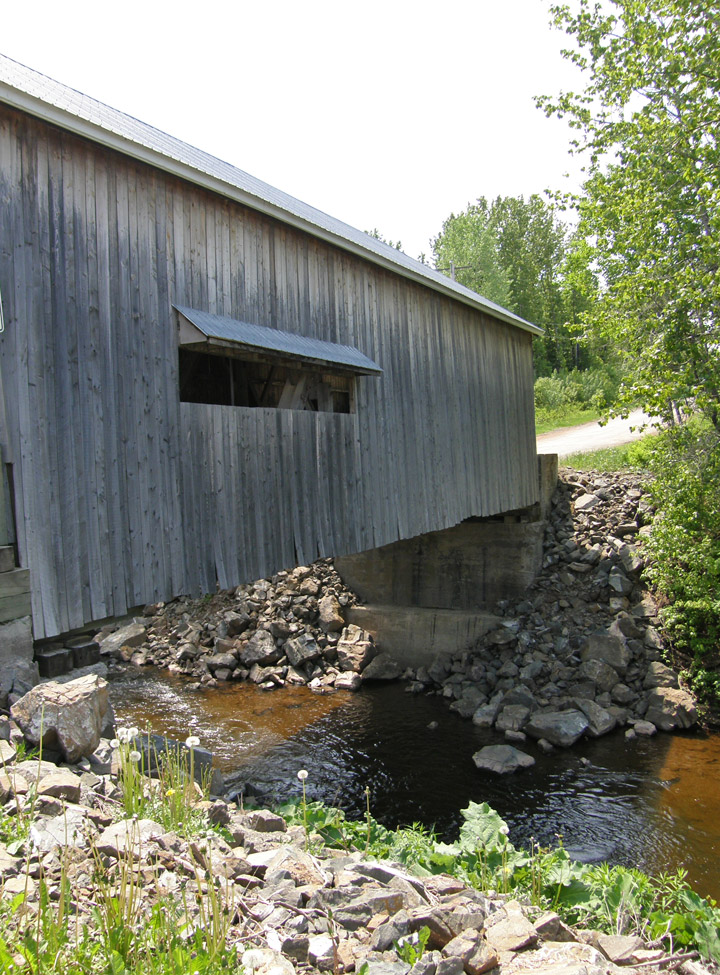
built in 1918
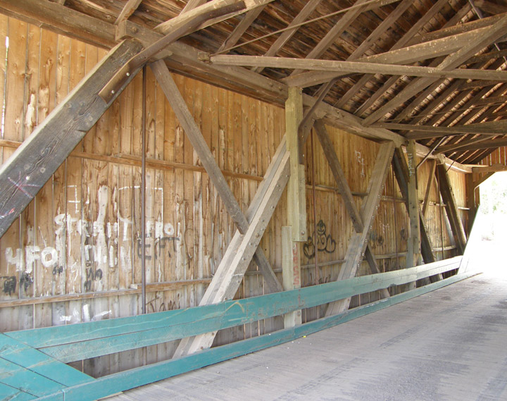
Howe Truss
Location:
Across Odellach River.
10.9 miles (18 km) east of jct NB105 on NB109, then 0.4 miles (0.6 km) right on Birch Ridge Rd. and 0.1 miles (0.2 km) on Tomilson Rd.