


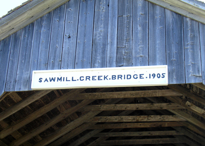
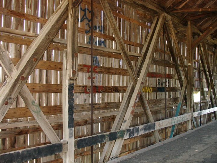
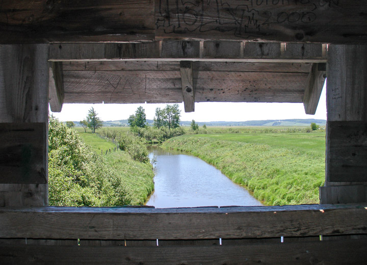
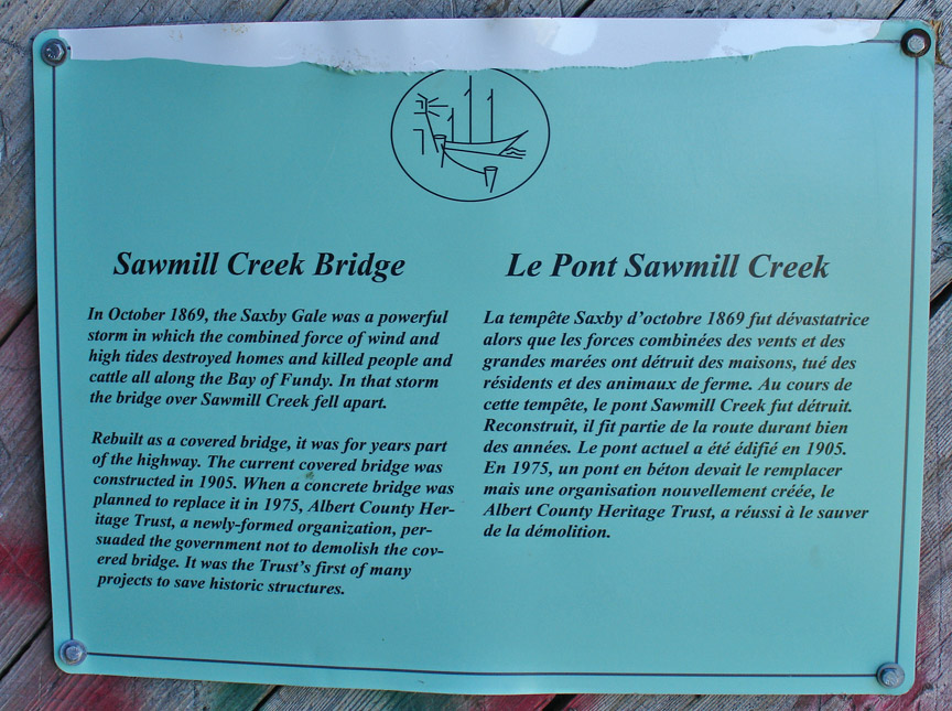
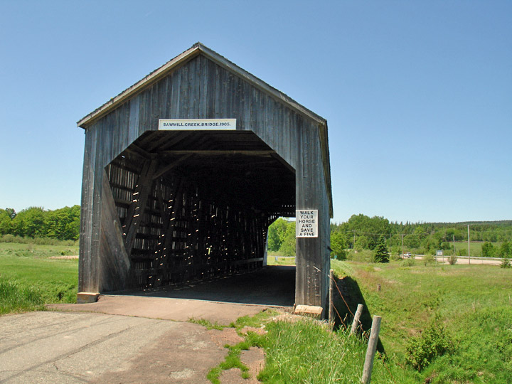
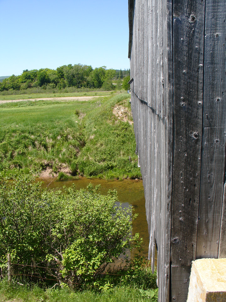
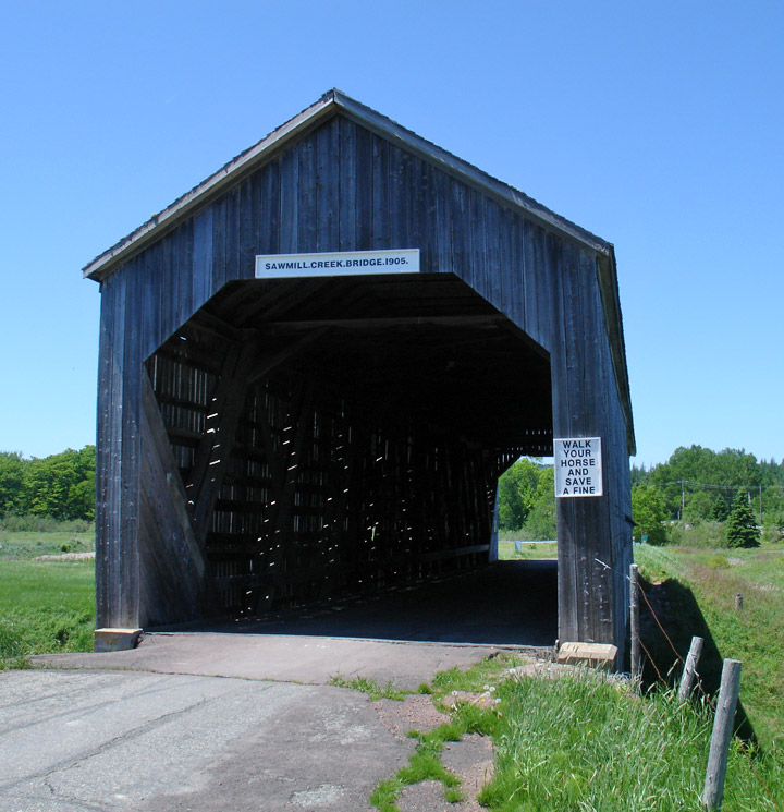
Sawmill Creek Covered Bridge
Sawmill Creek # 1
Albert County
55-01-20
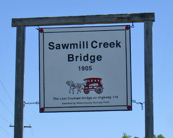
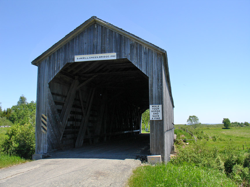
Sawmill Creek Covered Bridge
GPS
N 45 deg 45.888 min
W 64 deg 41.565 min
Map of Latitude: 45.764800
Longitude: -64.692750
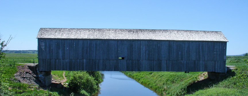
Span: 104' 6" Length: 108' 2"
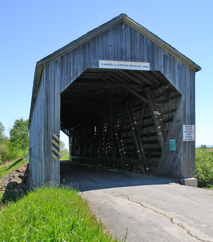
built in 1905
Location:n:
Across Sawmill Creek in Hopewell Township.
3.3 miles (5.3 km) northeast of jct NB915 on S. side of NB114 in roadside park.