


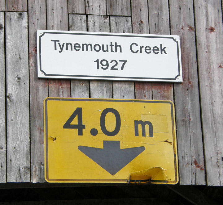
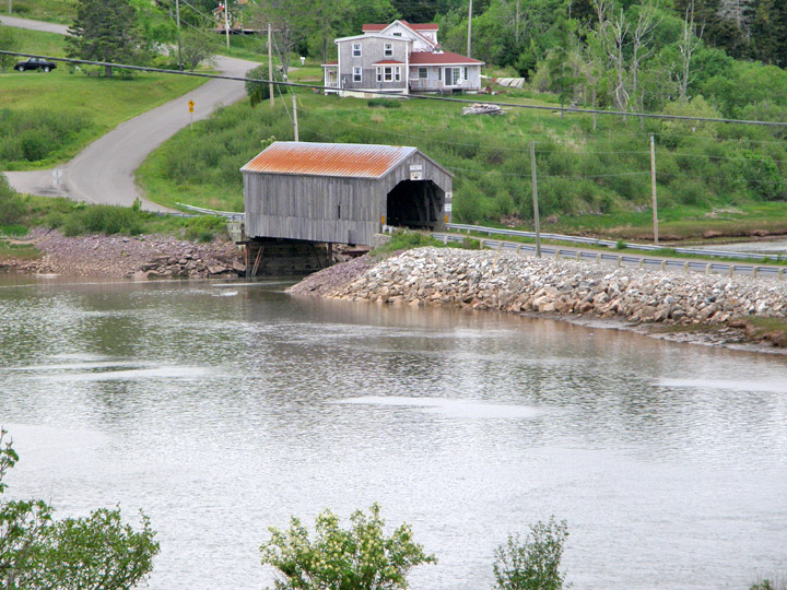
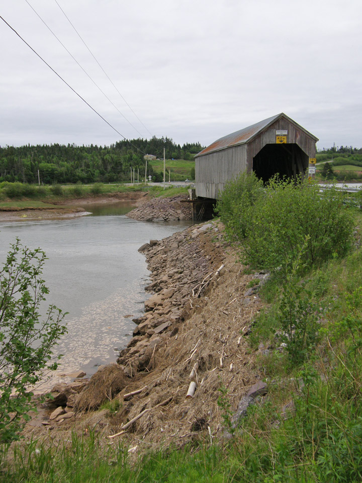
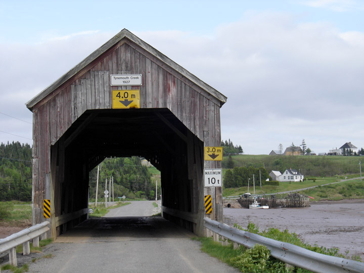
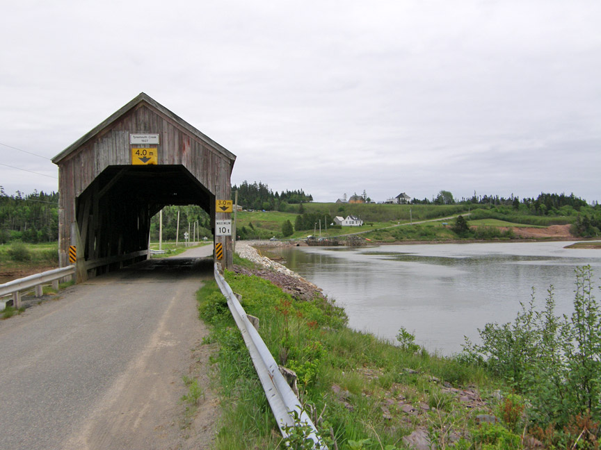
Mouth Covered Bridge
Tynemouth Creek
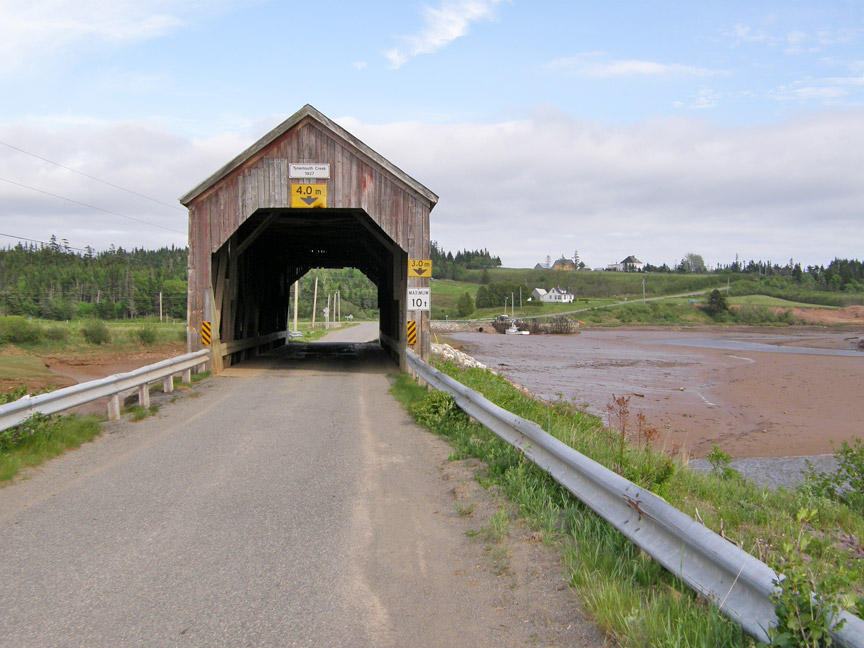
Mouth Covered Bridge
GPS
N 45 deg 18.101 min
W 65 deg 39.476 min
Map of Latitude: 45.301683
Longitude: -65.657933
Span: 94' 2" Length: 97' 2 '
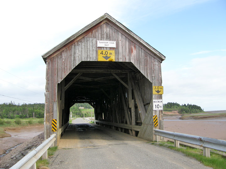
built in 1927
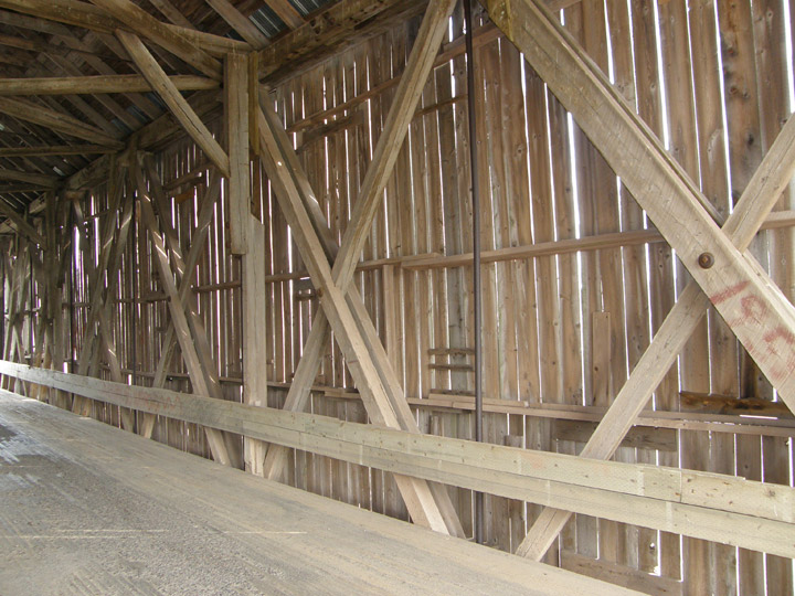
Howe Truss
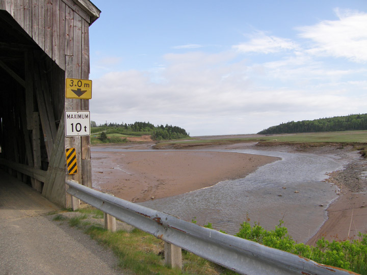
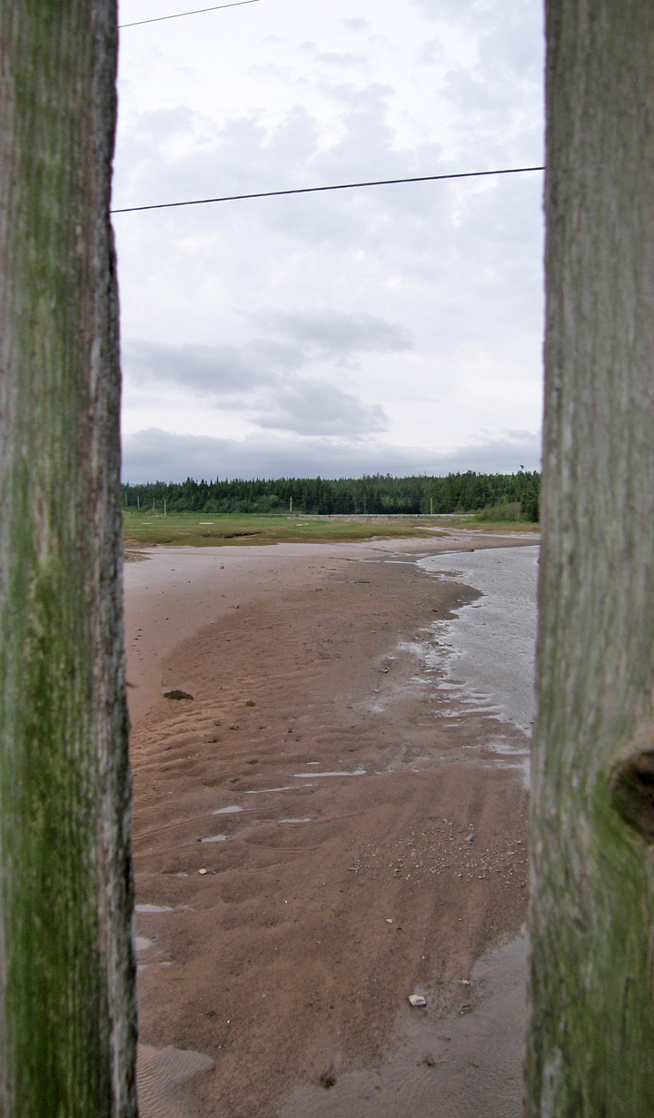
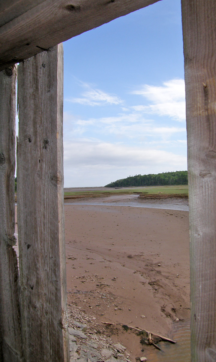
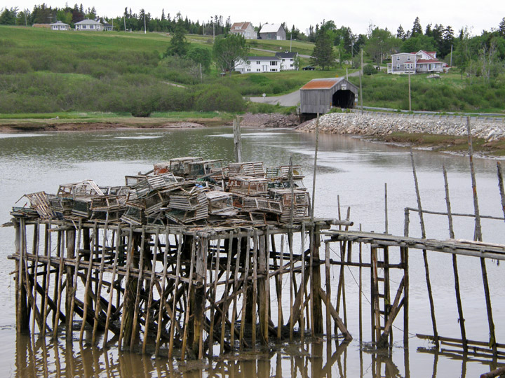
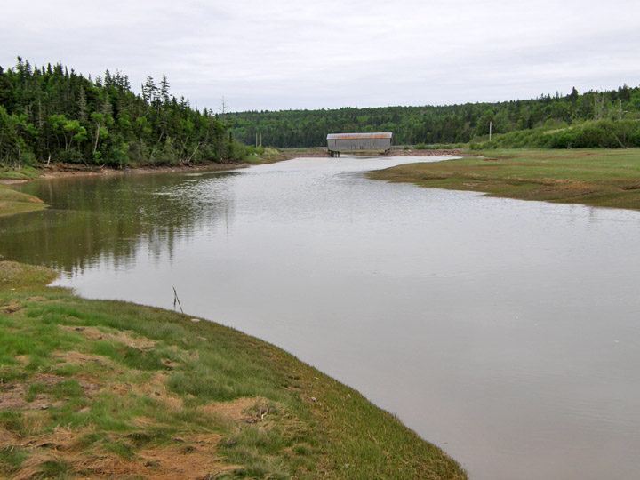
low tide
higher tide
when tide is out
when tide is in
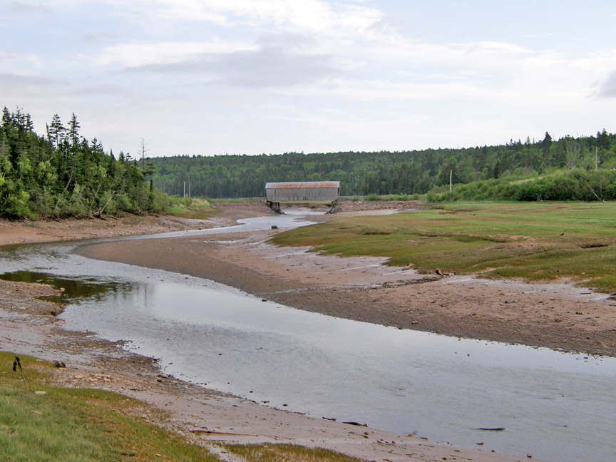
lower tide
higher tide
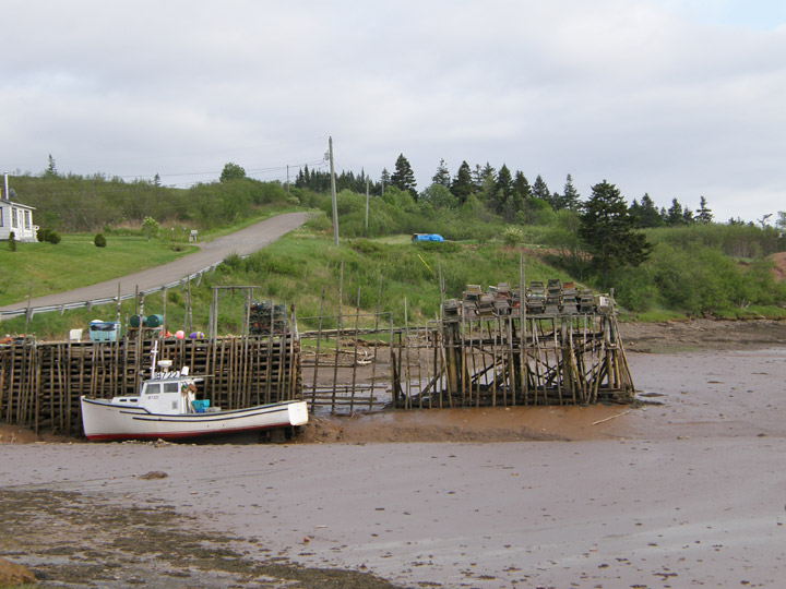
lobster boat now high and dry
at high tide boat is in the Bay of Fundy tending the lobster traps