


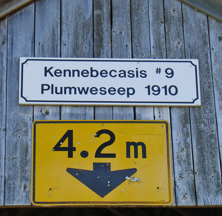
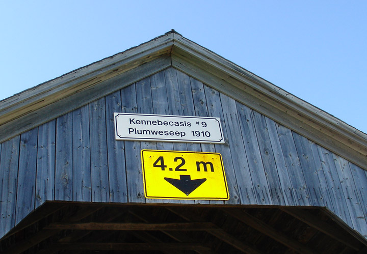
Plumweseep Covered Bridge
Kennebecasis River # 9
Kings County
55-06-18
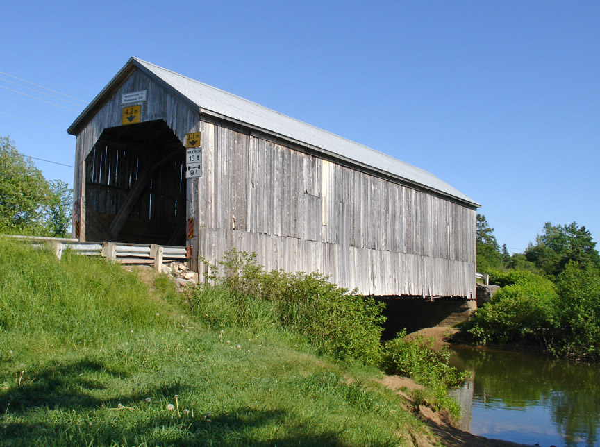
Plumweseep Covered Bridge
GPS
N 45 deg 44.501 min
W 65 deg 26.822 min
Map of Latitude: 45.741683
Longitude: -65.447033
Span: 74' Length: 78'
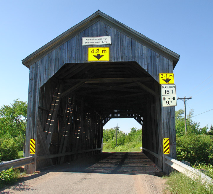
built in 1910
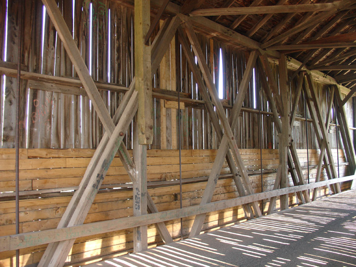
Howe Truss
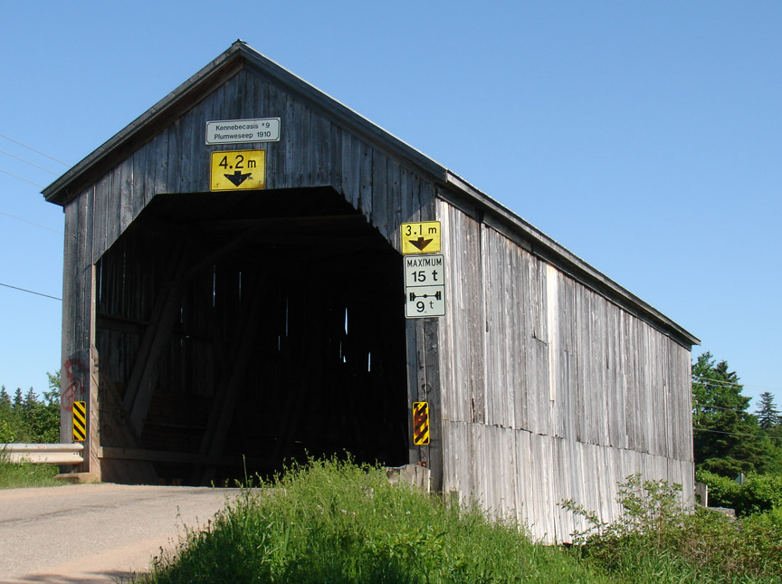
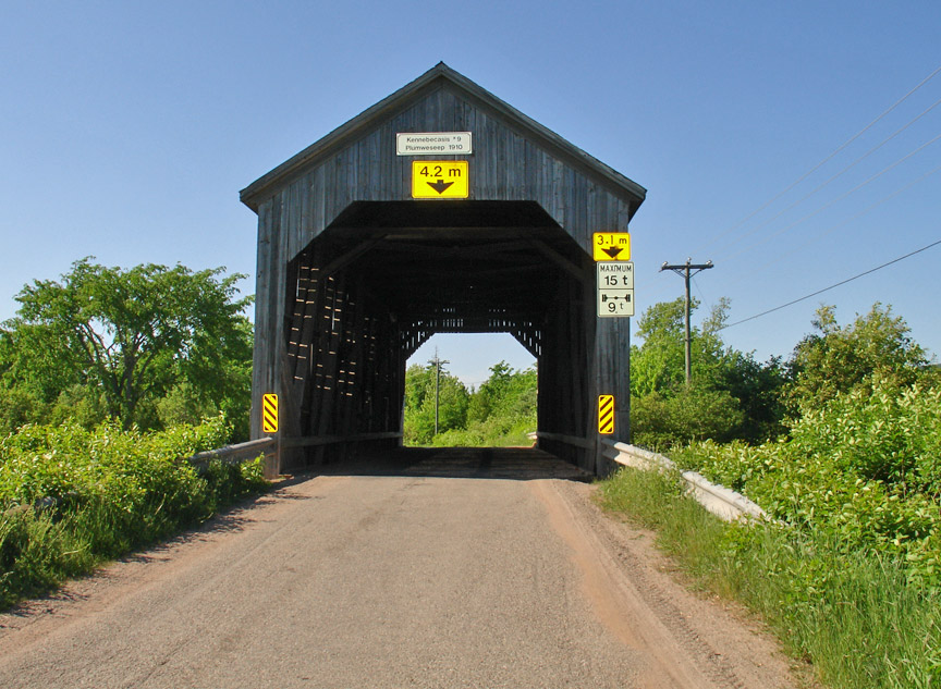
Location:
Across Kennebecasis River.
0.2 miles (0.3 km) north of jct TCH2 and NB111 on Plumweseep Rd.