


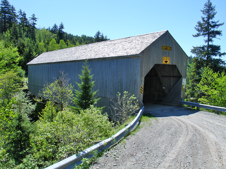
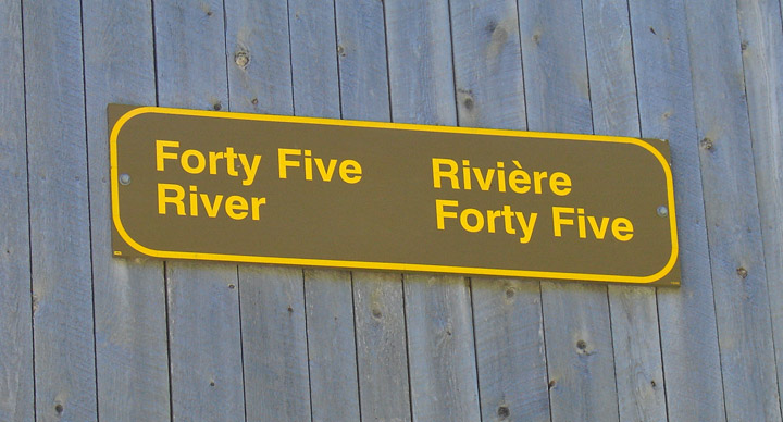
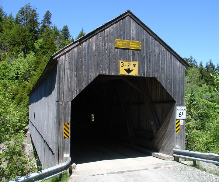
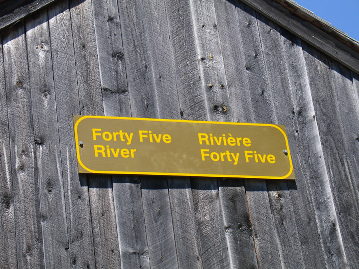
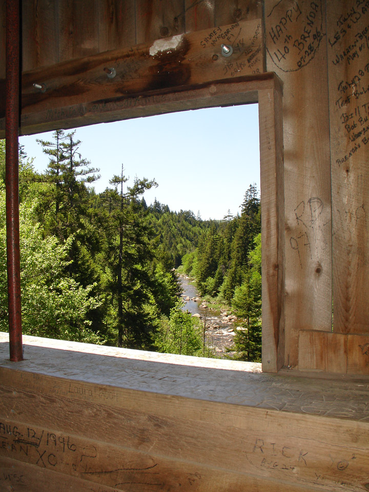
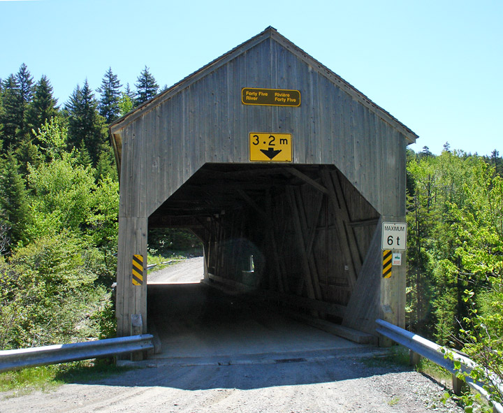
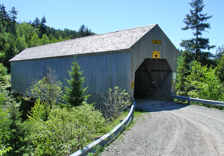
Lower Forty-Five Covered Bridge
Lower Forty-Five # 1
Albert County
55-01-04
Lower Forty-Five Covered Bridge
GPS
N 45 deg 41.215 min
W 64 deg 57.200 min
Map of Latitude: 45.686911
Longitude: -64.953333
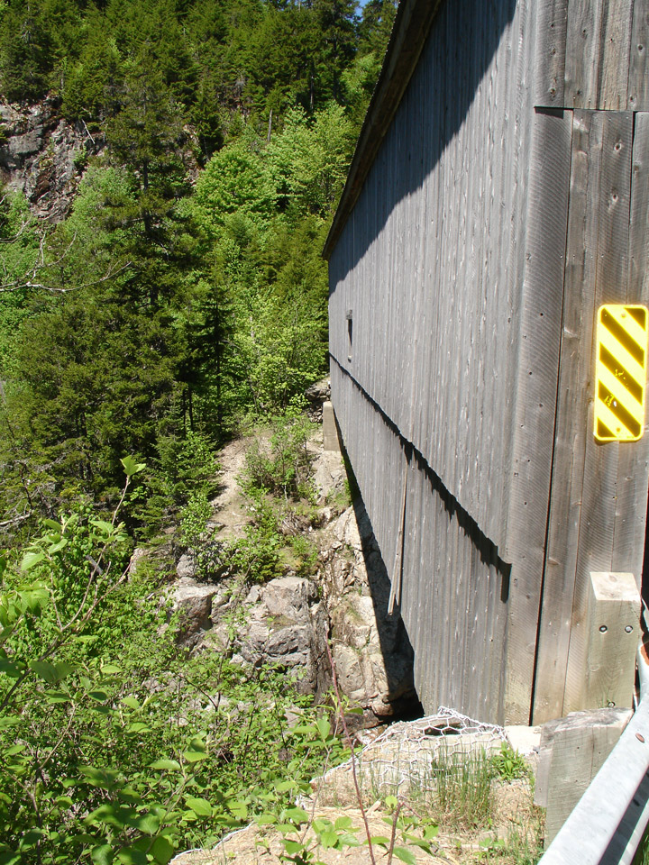
Span: 94' Length: 98' 6"
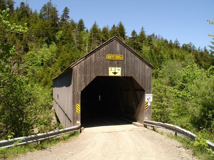
built in 1914
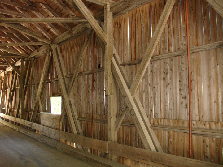
Howe Truss
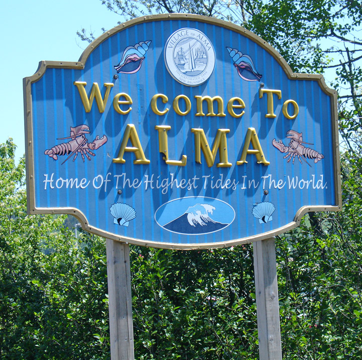
Alma, New Brunswick
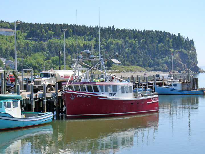
Alma harbor
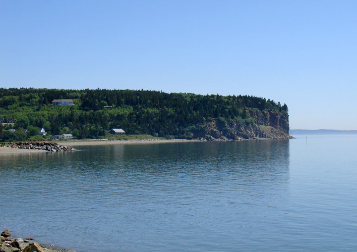
Bay of Fundy
Location:
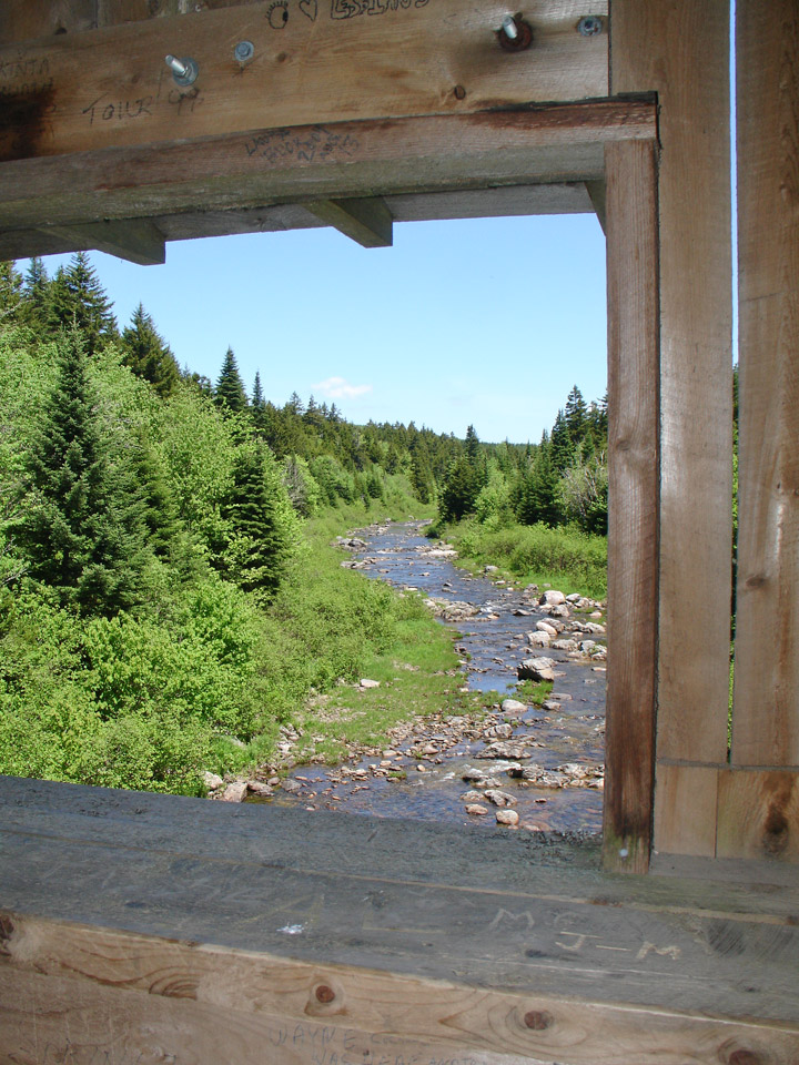
Across Crooked Creek.
About half a mile from jct NB 915 on NB 114 then North 3.7 miles to the bridge