


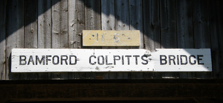
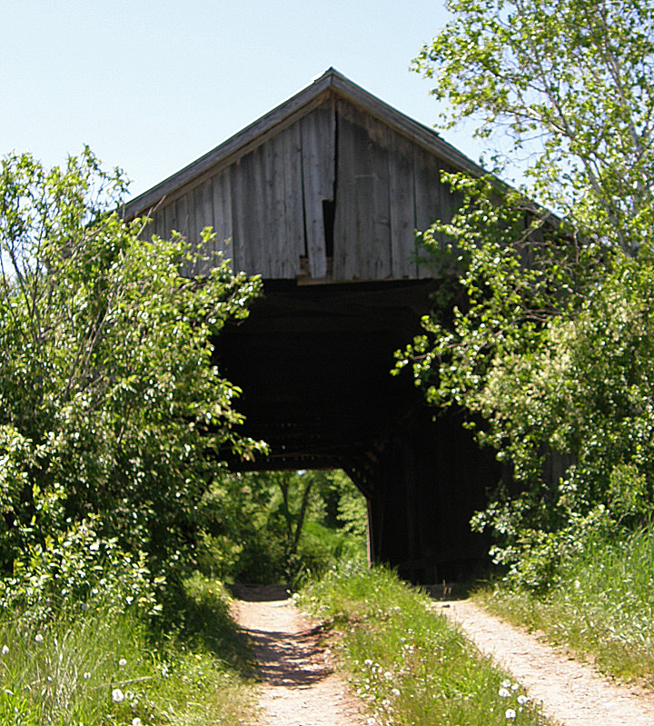
Bamford Colpitts Covered Bridge
Coverdale River # 3
Albert County
55-01-01
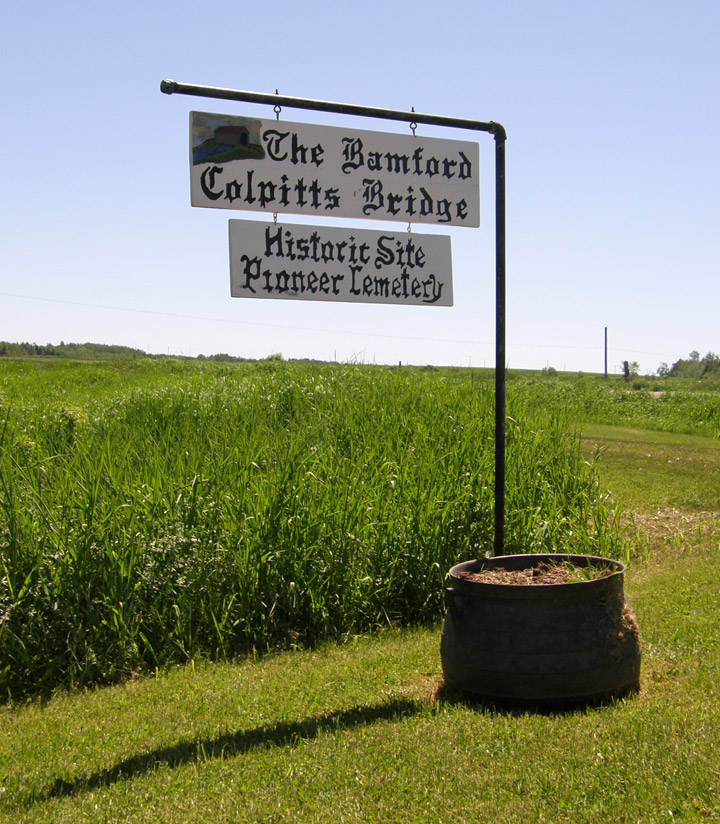
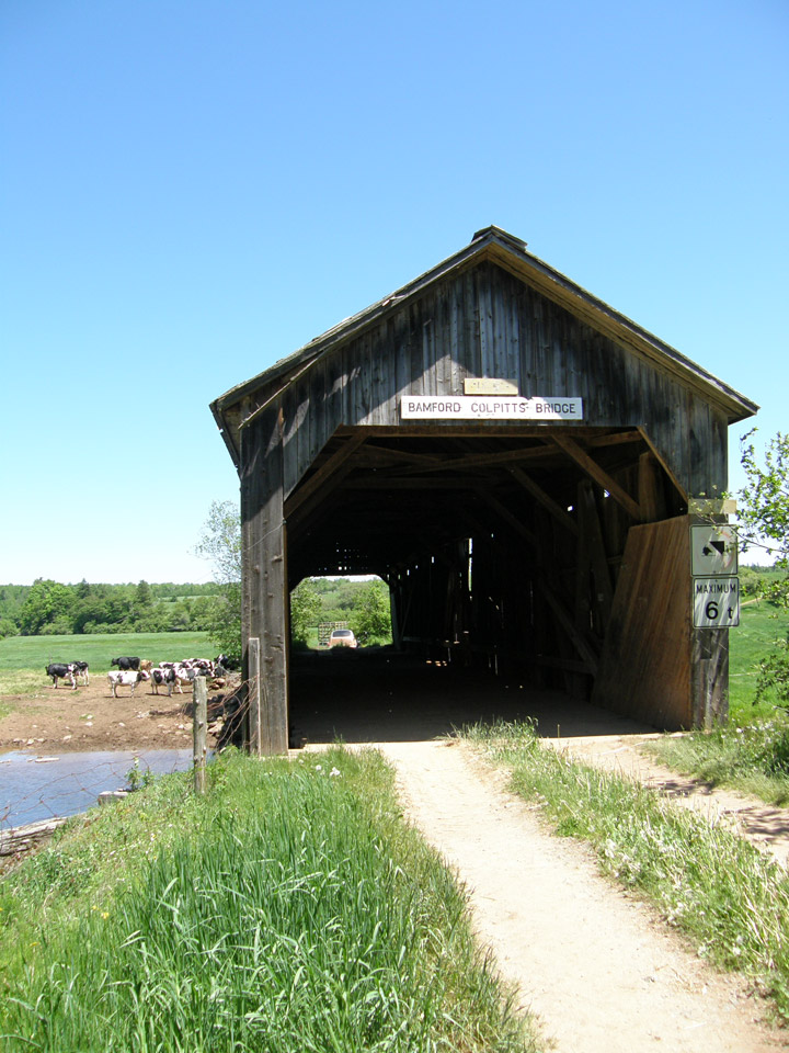
Bamford Colpitts Covered Bridge
GPS
N 45 deg 59.298 min
W 64 deg 58.441 min
Map of Latitude: 45.988300
Longitude: -64.974020

Span: 100' Length: 104' 10"
built in 1870's
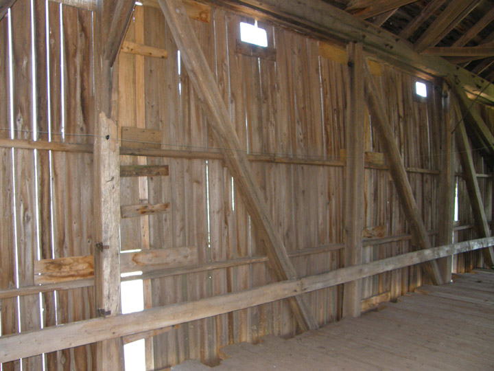
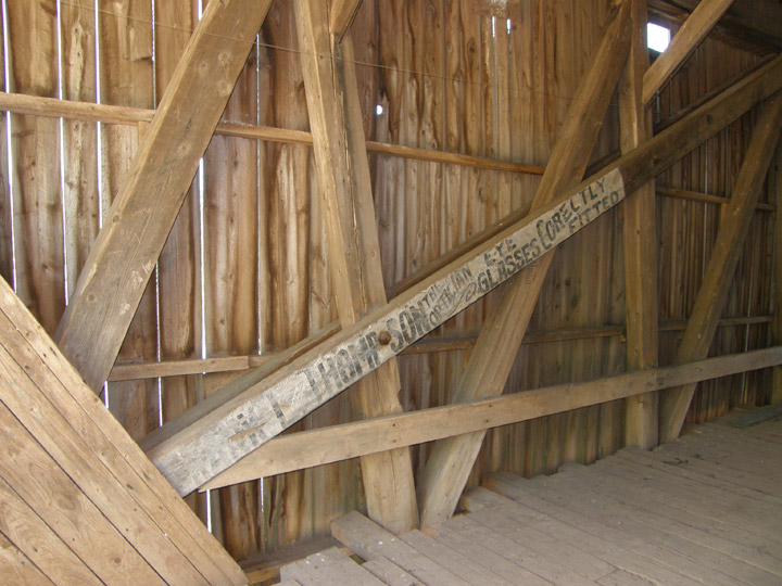
Burr Truss
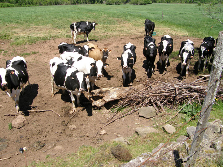
Colpitts cows looking on
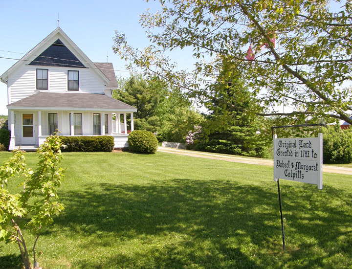
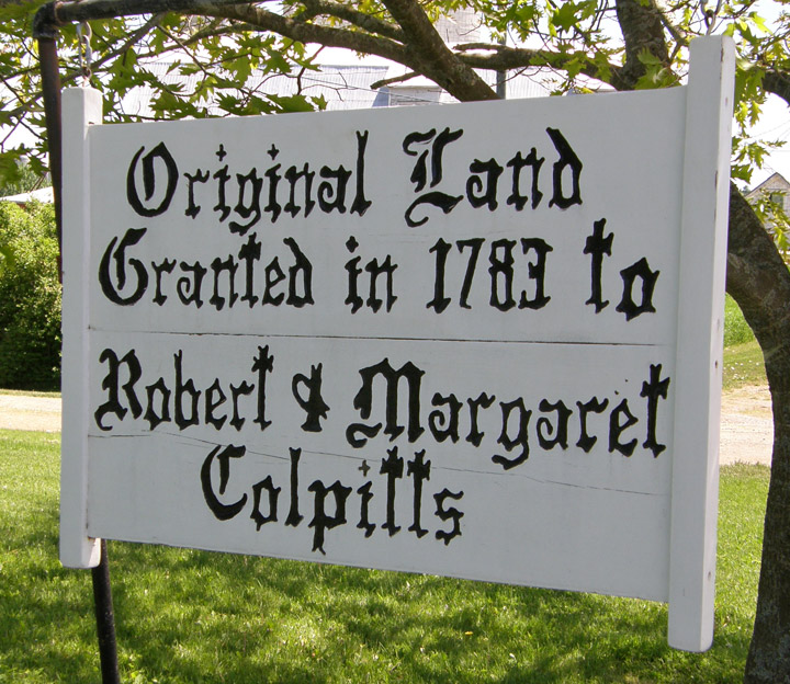
Colpitts residence
Location:
Across Coverdale River southeast of Salisbury.
SE jct NB112 on NB895, then 0.4 miles (0.6 km) left on private road.