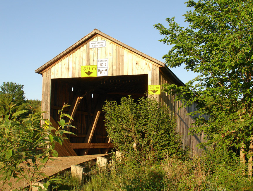
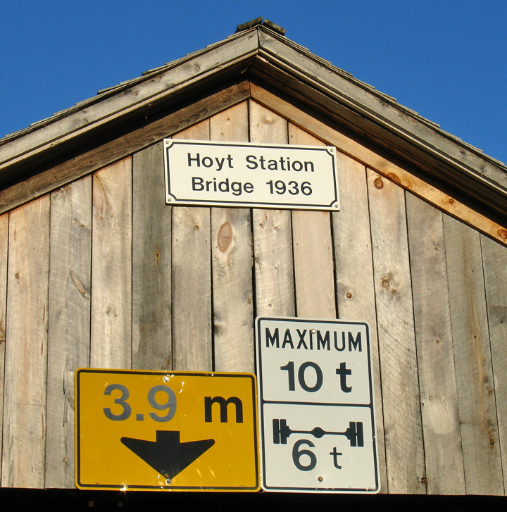
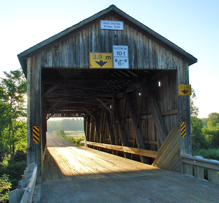
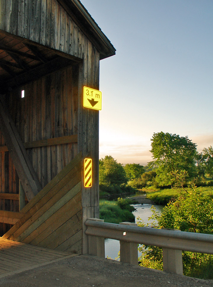
Hoyte Station

Adair Bamford Colpitts Bayswater Bell Bloomfield Creek Boniface Centerville Clark Aaron Darlings Island Florenceville French Village Germantown Hartland Hartley Steeves Hasty Hoyte Station Irish River #1 Irish River #2 Lower Forty-Five MacFarlane

Hoyte Station

Back Creek # 2


Hoyte Station Covered Bridge

GPS

N 45 deg 34.463 min

W 66 deg 32.295 min

  Map of Latitude: 45.574383
Longitude: -66.538250


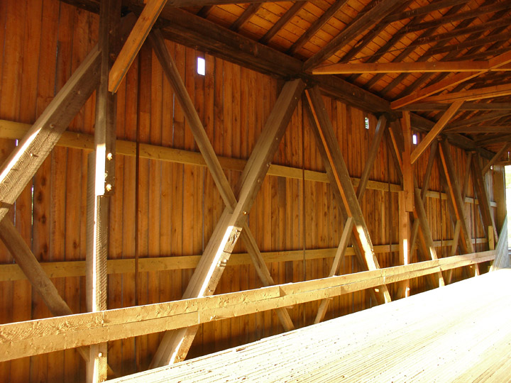
Span: 58' Length: 67'


Howe Truss


built in 1936


Adair Bamford Colpitts Bayswater Bell Bloomfield Creek Boniface Centerville Clark Aaron Darlings Island Florenceville French Village Germantown Hartland Hartley Steeves Hasty Hoyte Station Irish River #1 Irish River #2 Lower Forty-Five MacFarlane

Bay of Fundy Covered Bridges (A-M) Covered Bridges (M-Z) Fredericton Owen House Saint John Saint John River St. Martins Sussex

World Heritage Mosaics Roman World Africa Antarctica Asia Atlantic Islands Australia Caribbean Central America Europe Indian Ocean Middle East North America Pacific Islands South America The Traveler Recent Adventures Adventure Travel


People and Places