


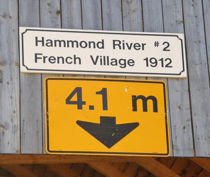
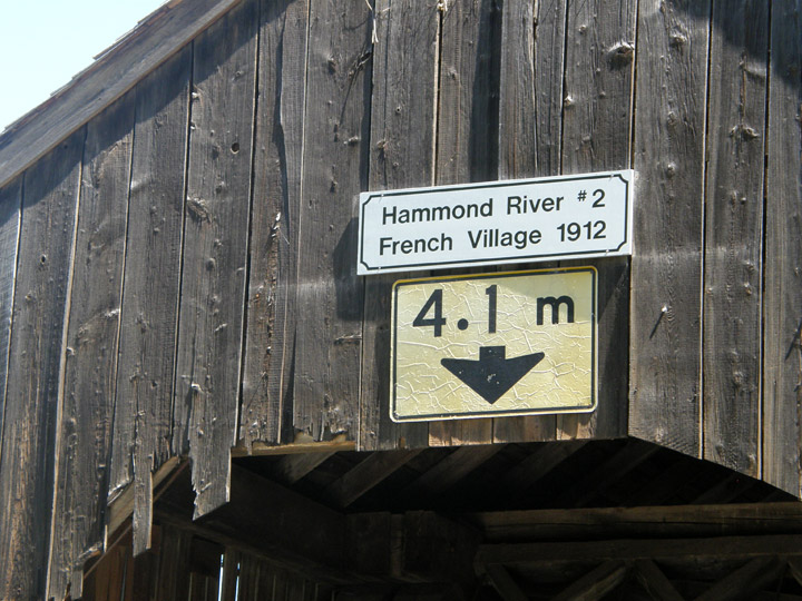
French Village Covered Bridge
Hammond River # 2
Kings County
55-06-05
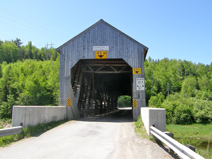
French Village Covered Bridge
GPS
W 45 beg 25.851 min
N 65 deg 53.110 min
Map of Latitude: 45.430850
Longitude: -65.885167
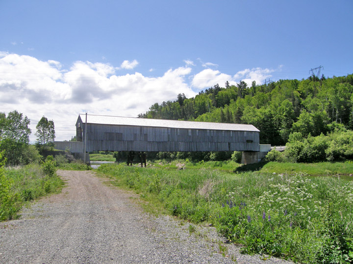
Span: 181' Length: 187' 6"
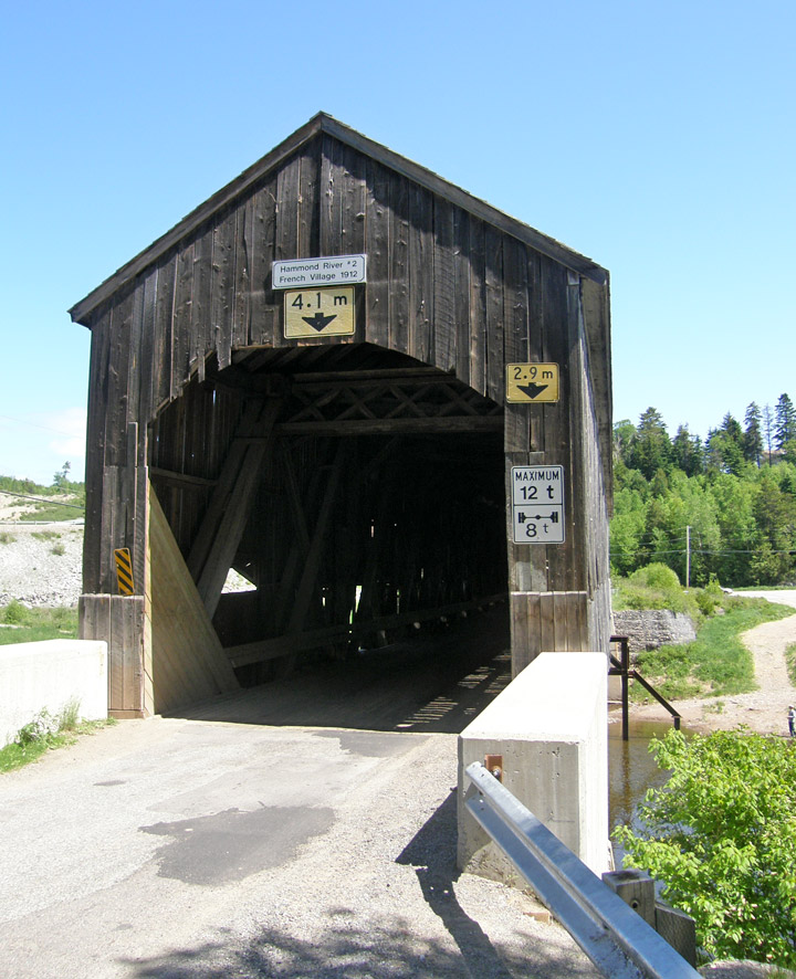
built in 1912
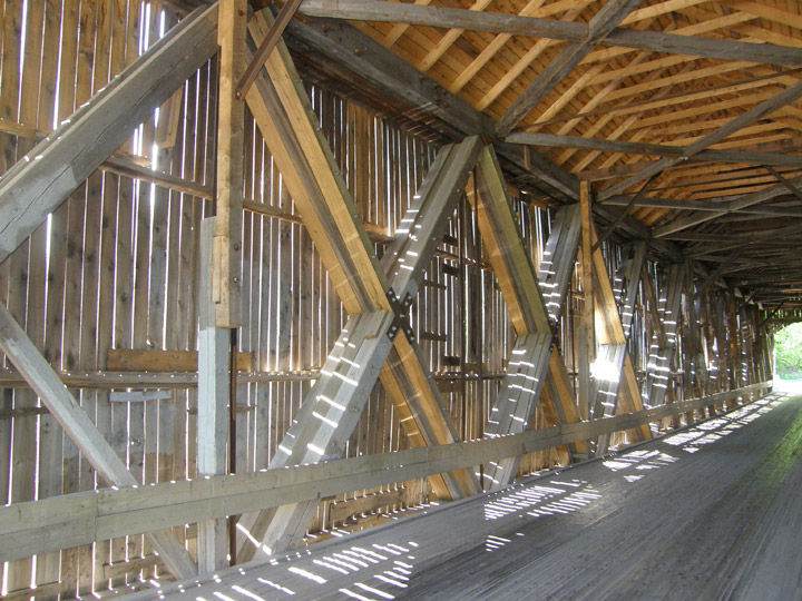
Howe Truss
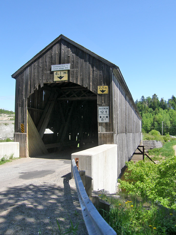
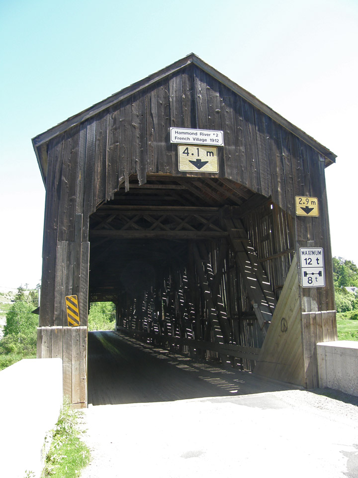
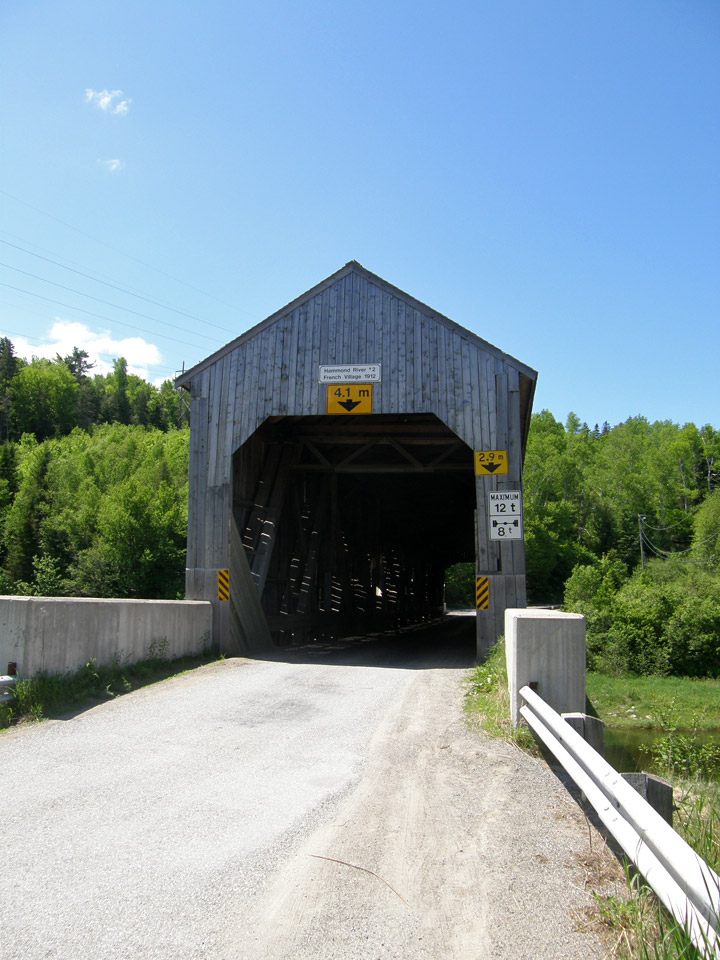
Location:
Across Hammond River northeast of Rothesay.
1.4 miles (2.3 km) E. of jct NB1 on NB111, then 5.4 miles (9 km) left on NB860.