

14-54-03
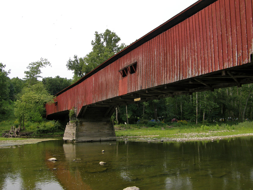
Deer's Mill Covered Bridge
Montgomery County
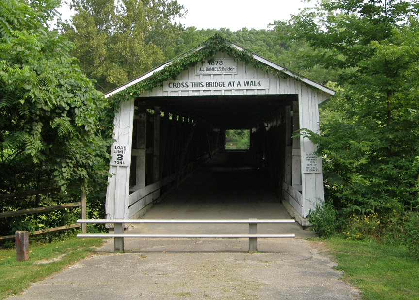
Deer's Mill Covered Bridge
GPS
N39 56.78
W86 03.55
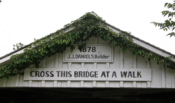
built in 1878 by J. J. Daniels
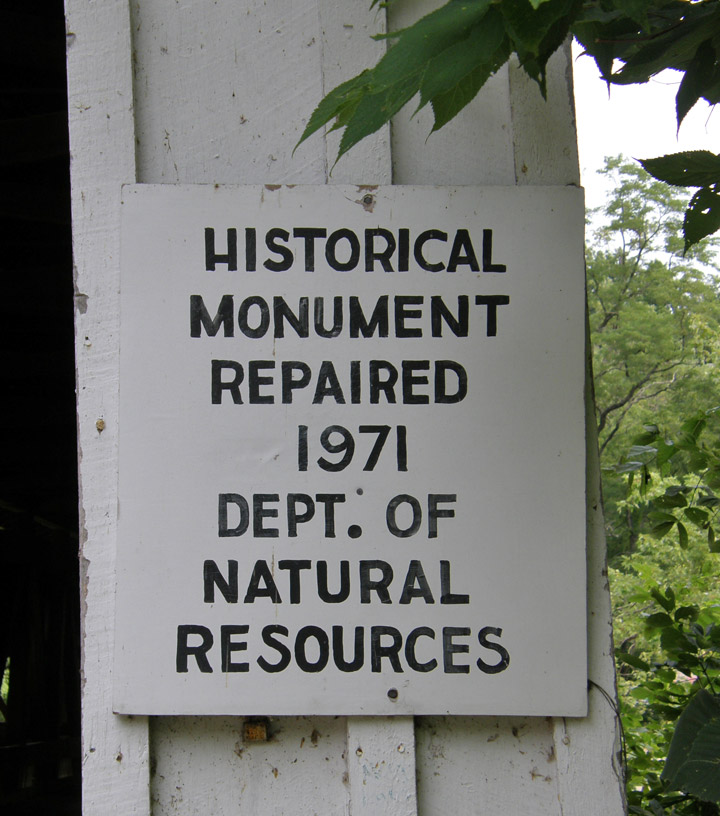
repaired in 1971
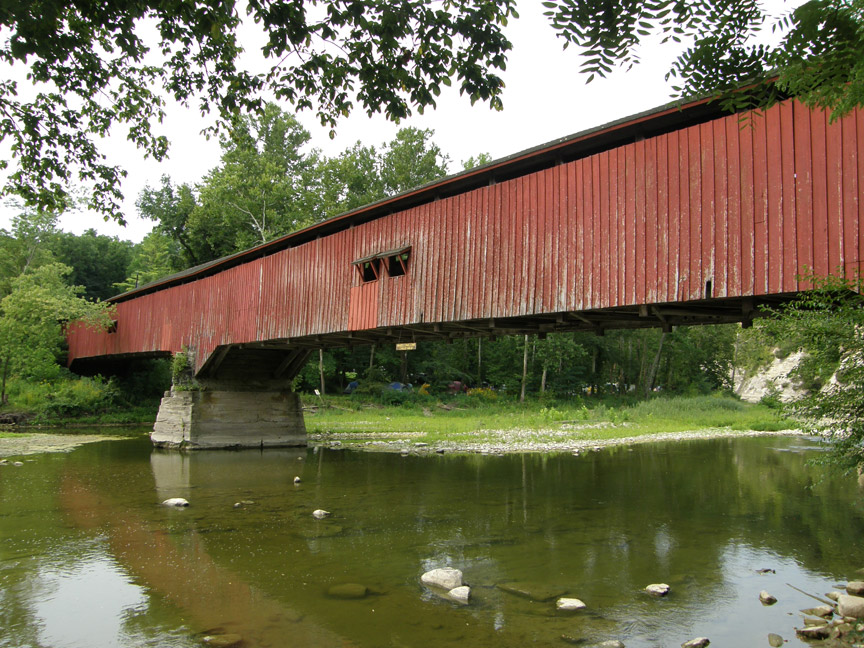
140 foot span, with two 5 foot extensions
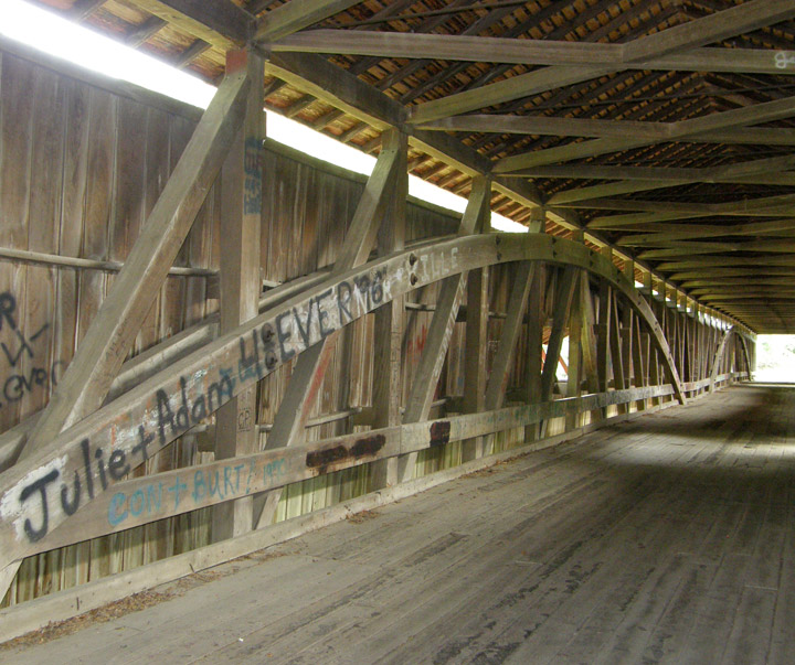
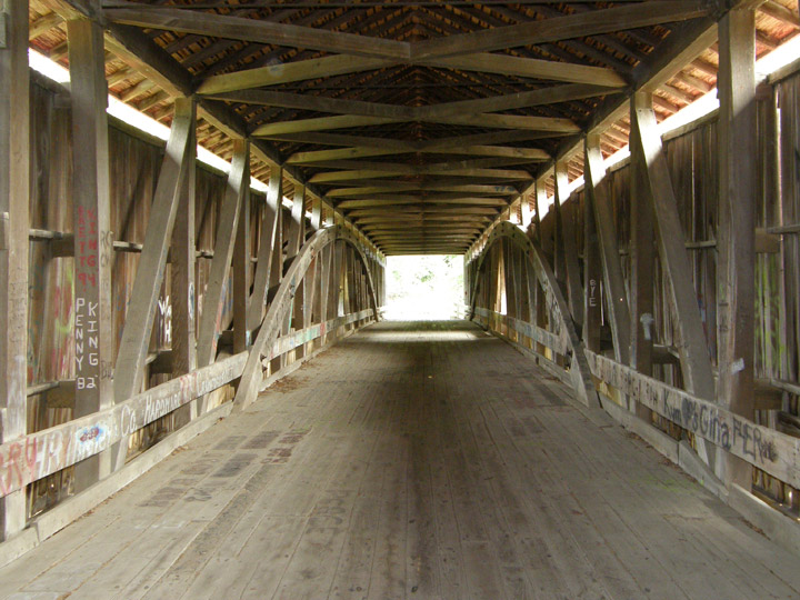
double span Burr Arch
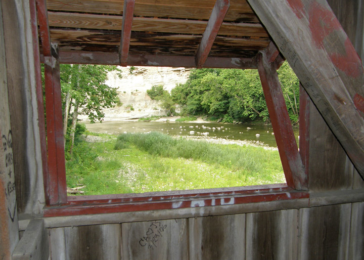
Sugar Creek
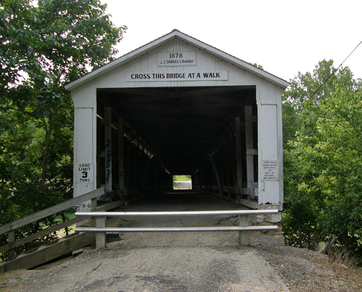
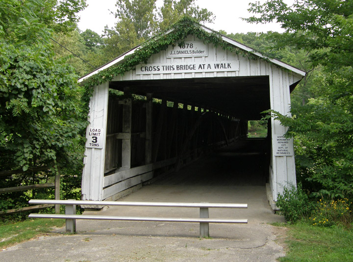
Cross this bridge at a Walk
Map of
Latitude: 38.7972
Longitude: -86.6648