


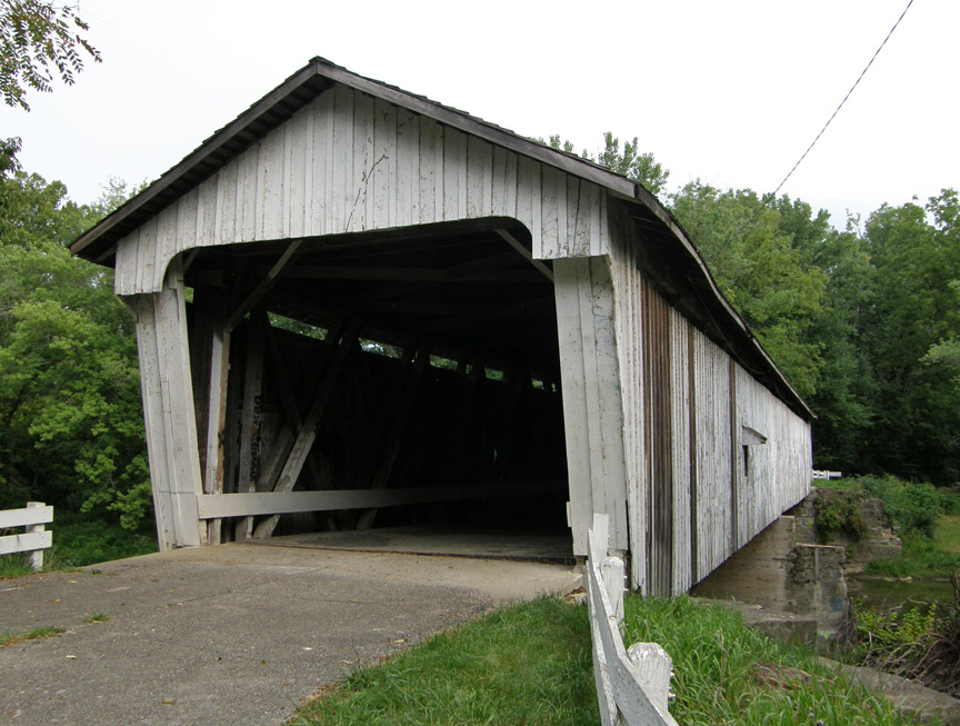
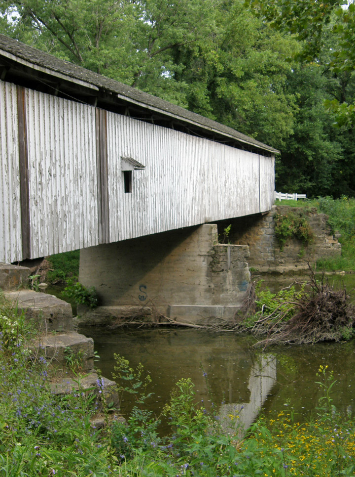
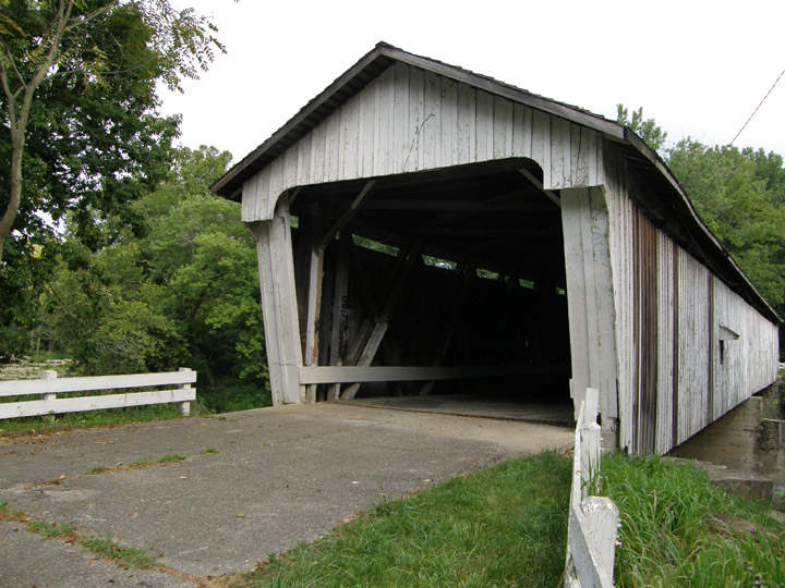
14-54-01
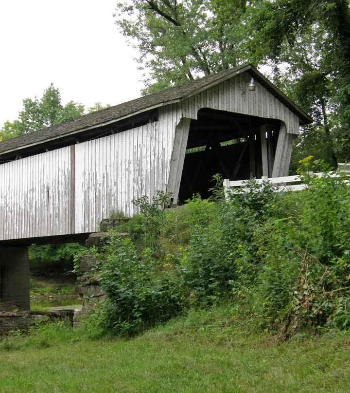
Darlington Covered Bridge
Montgomery County
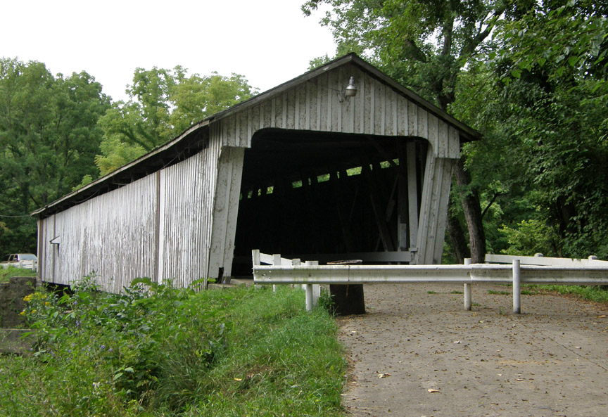
Darlington Covered Bridge
GPS
N40 06.57
W86 47.56
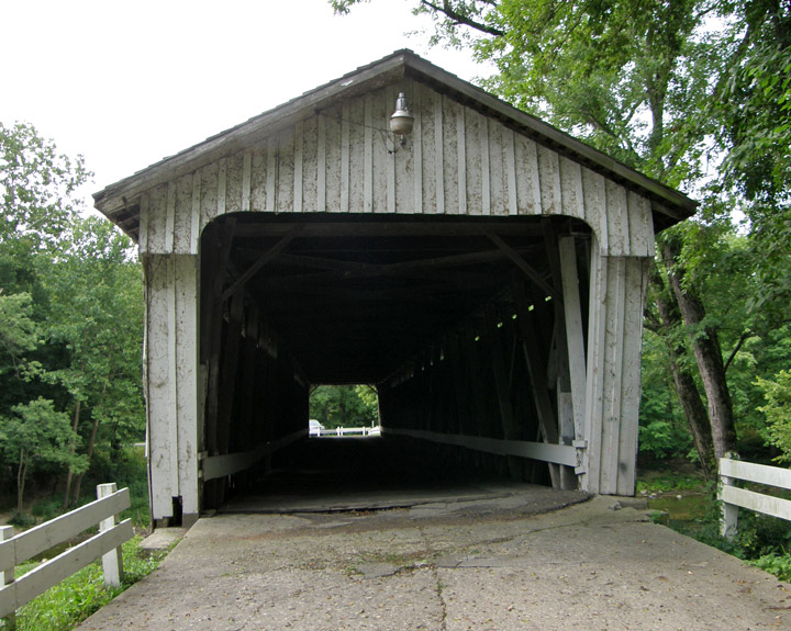
built in 1868
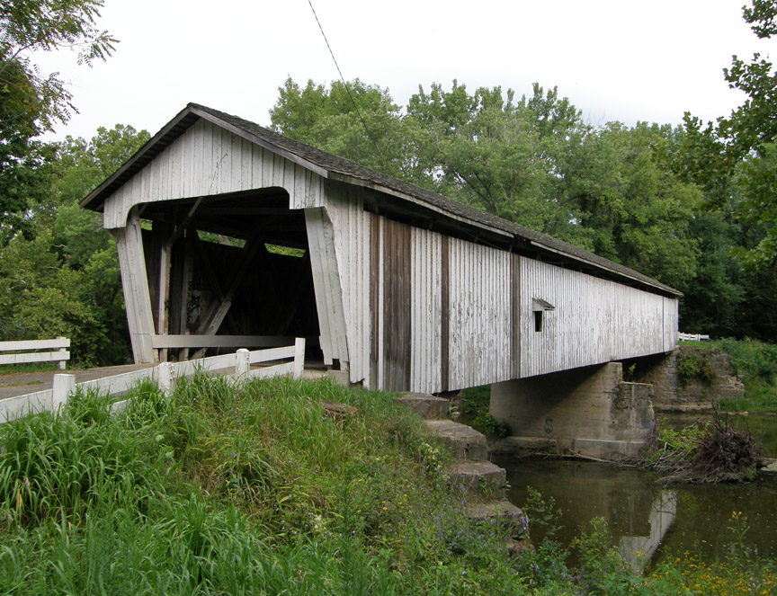
166 foot span with two 7 foot extensions
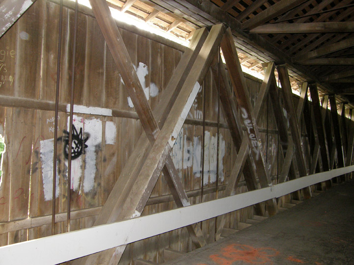
Howe Truss
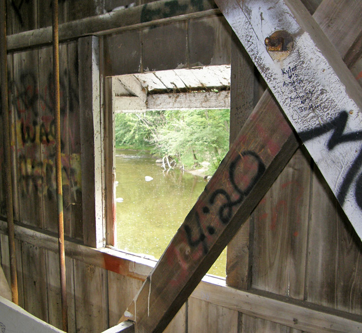
Sugar Creek

Map of
Latitude: 38.7972
Longitude: -86.6648