


Covered Bridges
of
Jackson County


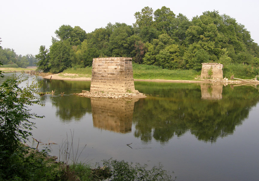
14-36-03
Bell's Ford
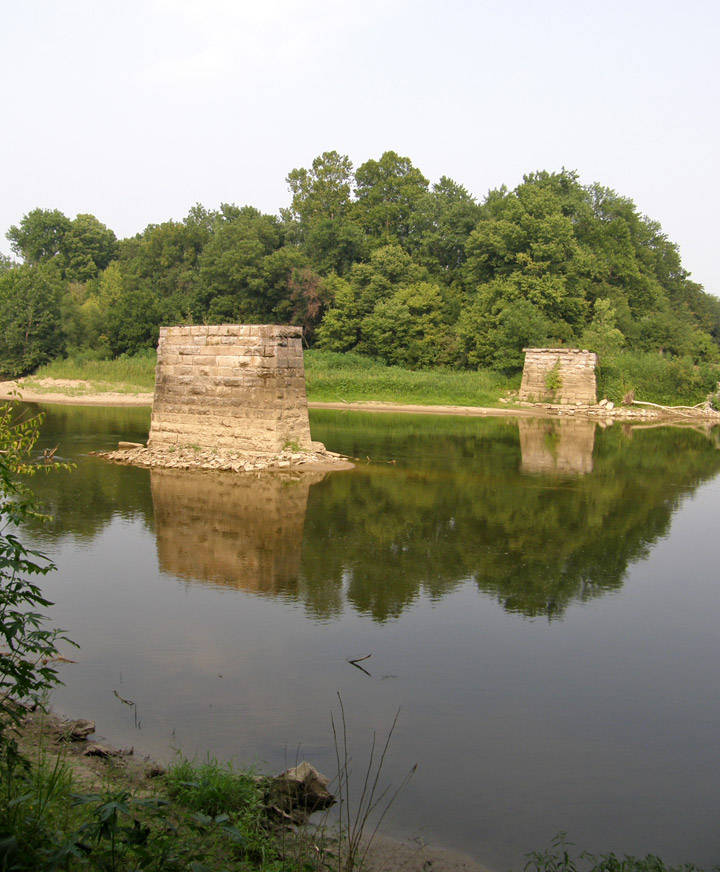
East fork of the White River
(first portion of the bridge structure was removed in 1999
the remaining portion has now been removed (2006))
Map of
Latitude: 38.9737
Longitude: -85.9295
Medora Covered Bridge
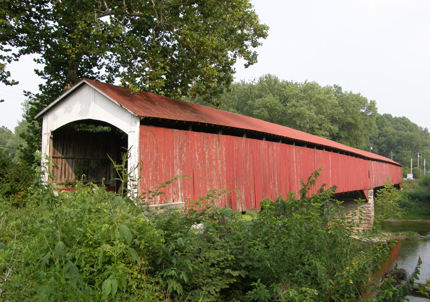
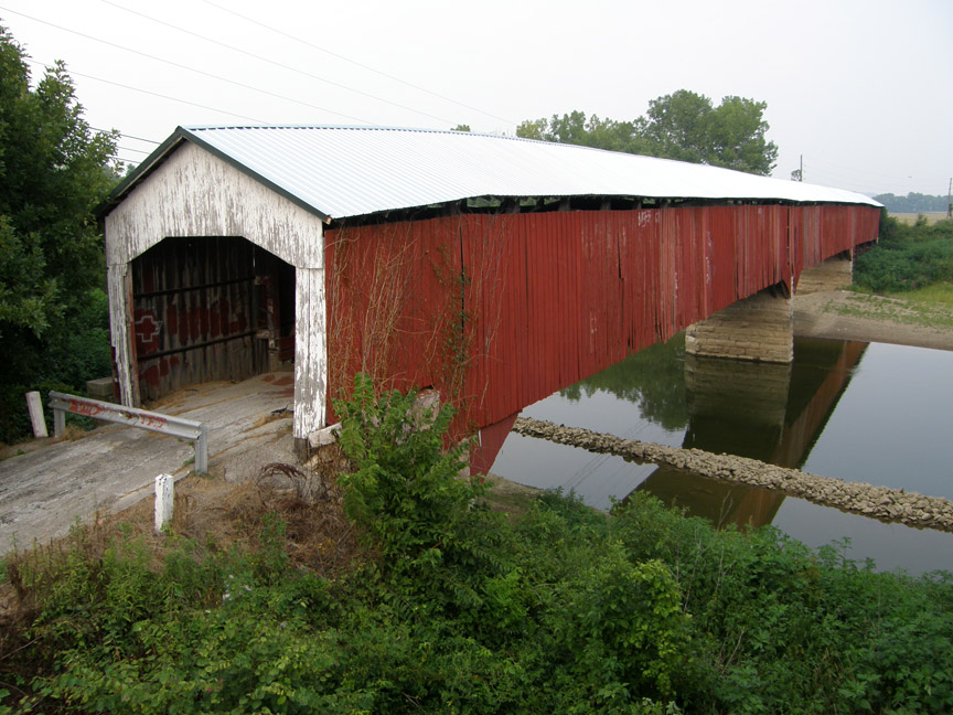
Shieldstown Covered Bridge
More Photos of the Shieldstown Bridge