14-67-04
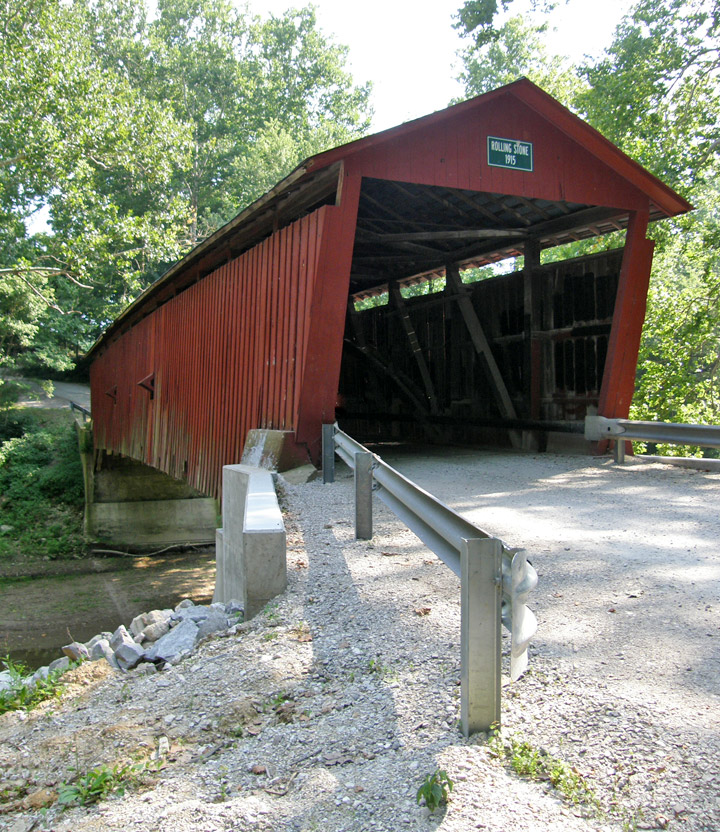
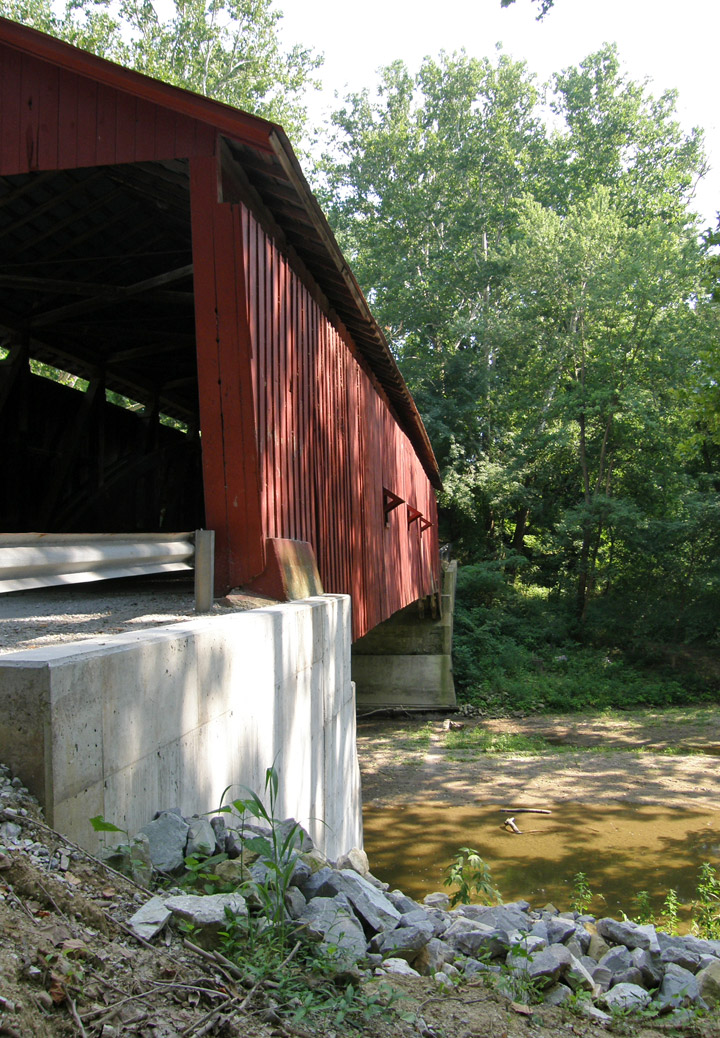
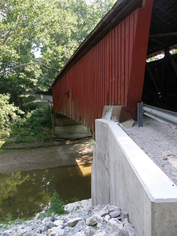
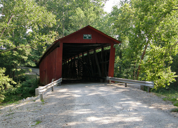
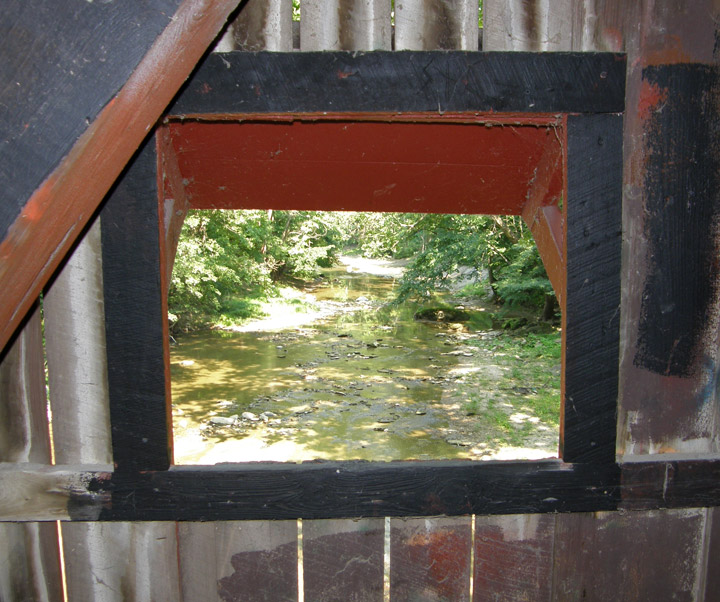
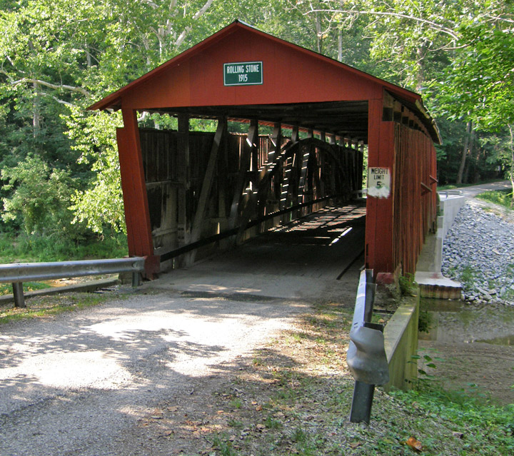
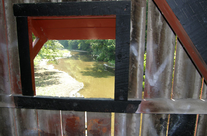
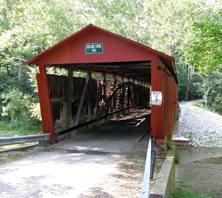
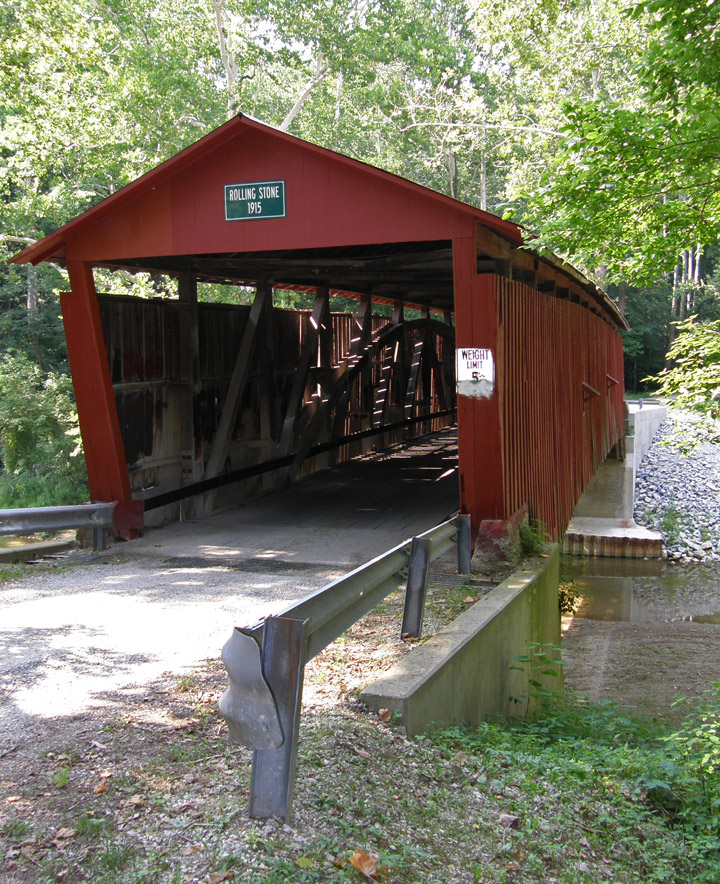
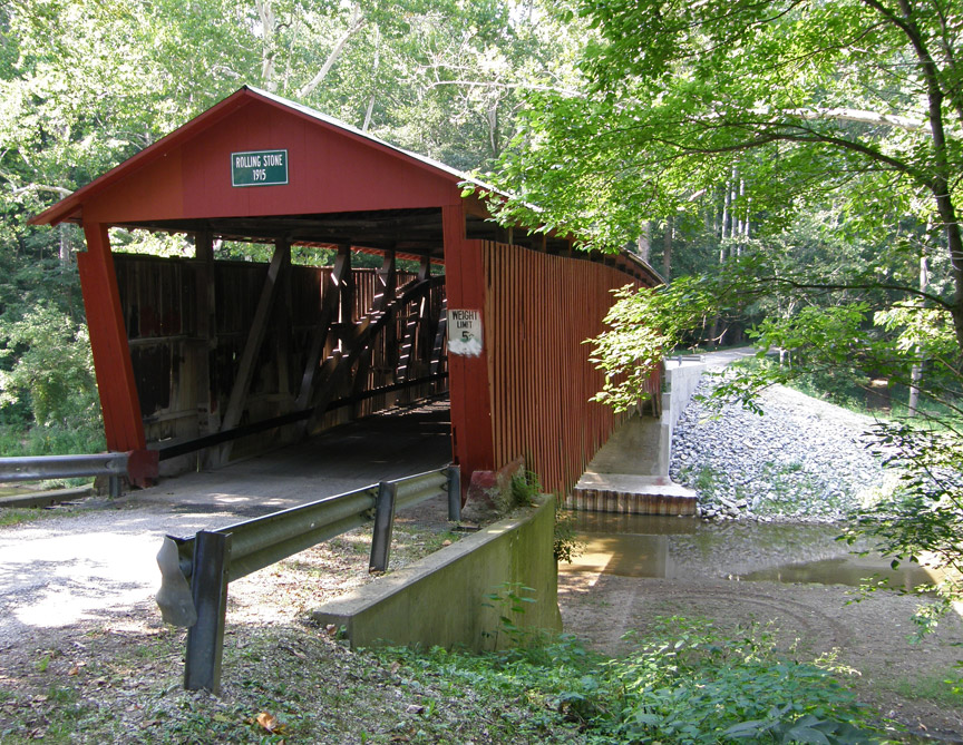
Rolling Stone Covered Bridge
Putnam County
GPS
N39 46.47
W86 47.05
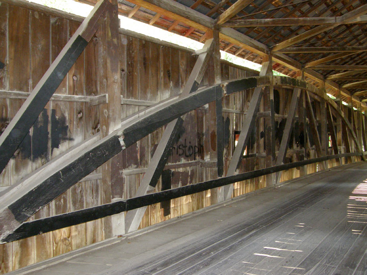
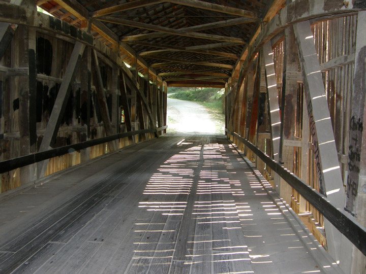
103 foot span
Burr Arch
built in 1915
Map of Latitude: 39.7744Longitude: -86.7842
People and Places