14-24-10
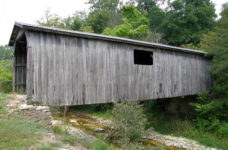
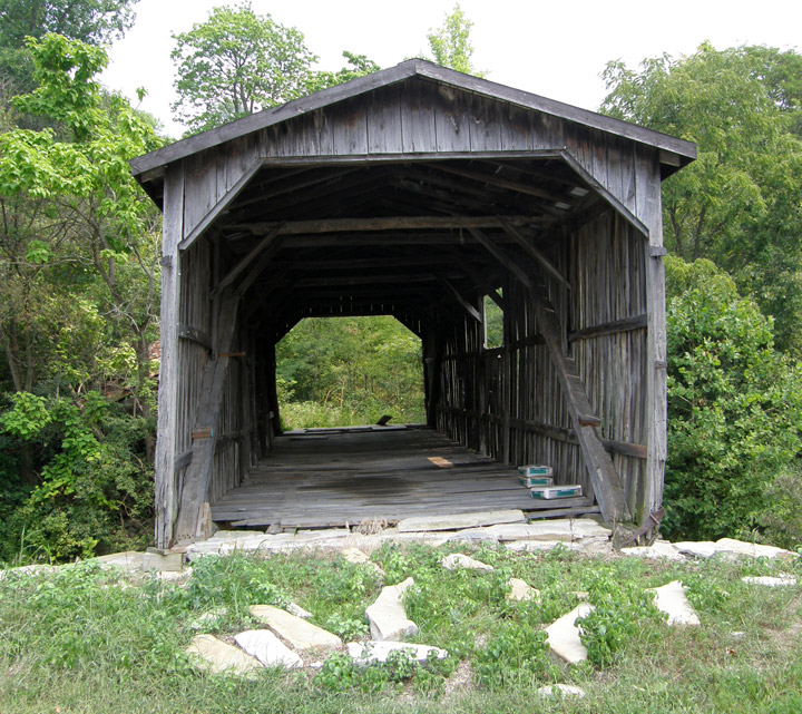
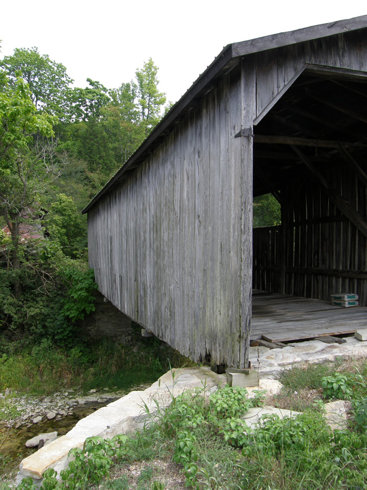
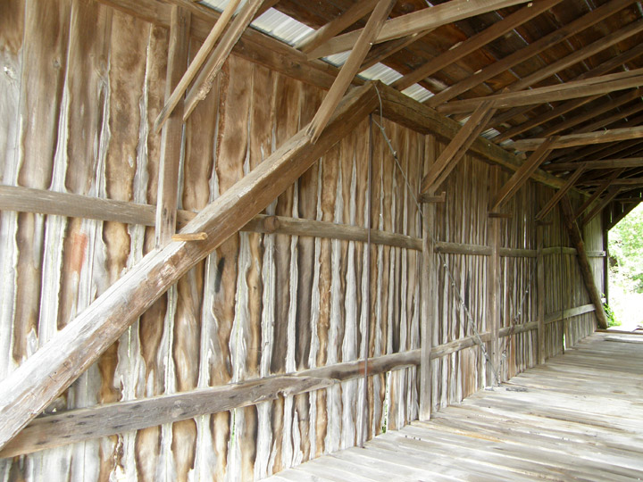
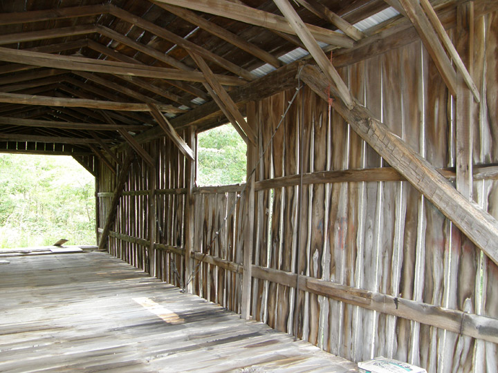
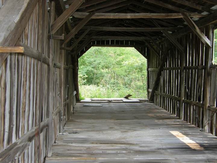
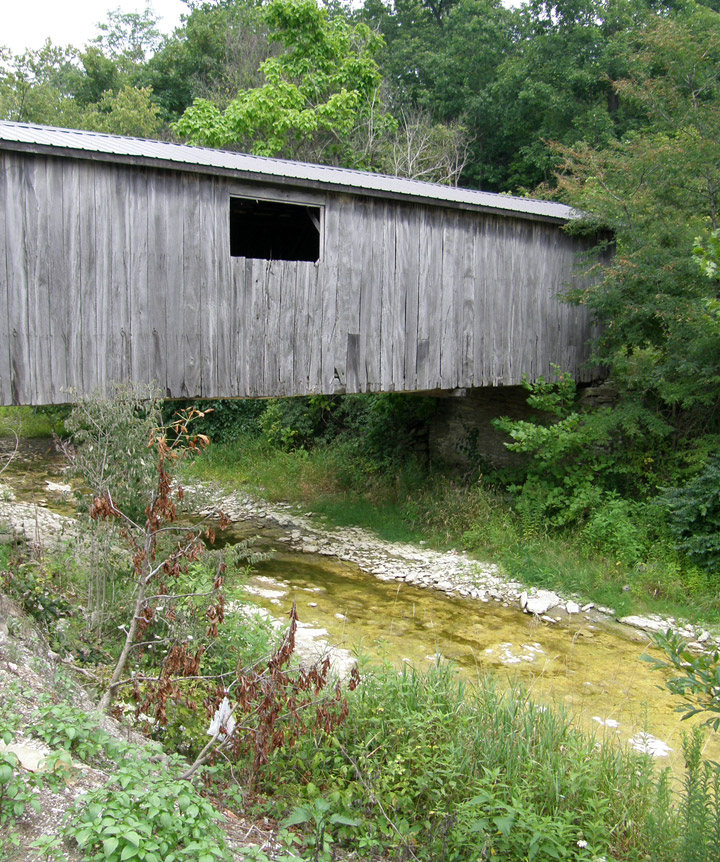
Seal Barn Covered Bridge
Franklin County
GPS
N39° 24.33
W84° 54.47
built in 1905 by George Reuss
60 foot with two 2 foot extensions
Queen Post Truss
Big Cedar Creek
Map of Latitude: 39.4054Longitude: -84.9078
People and Places