


45-01-01
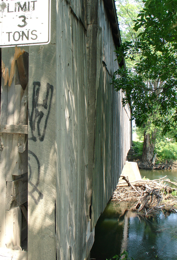
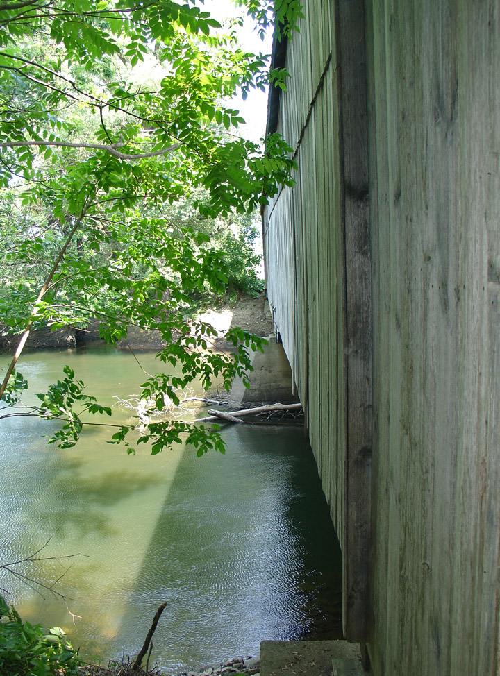
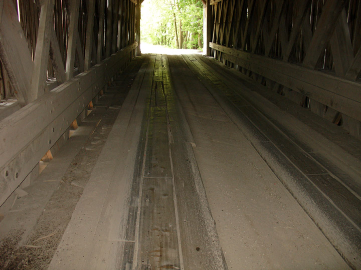
Cornwall-Salisbury Covered Bridge
Creek River
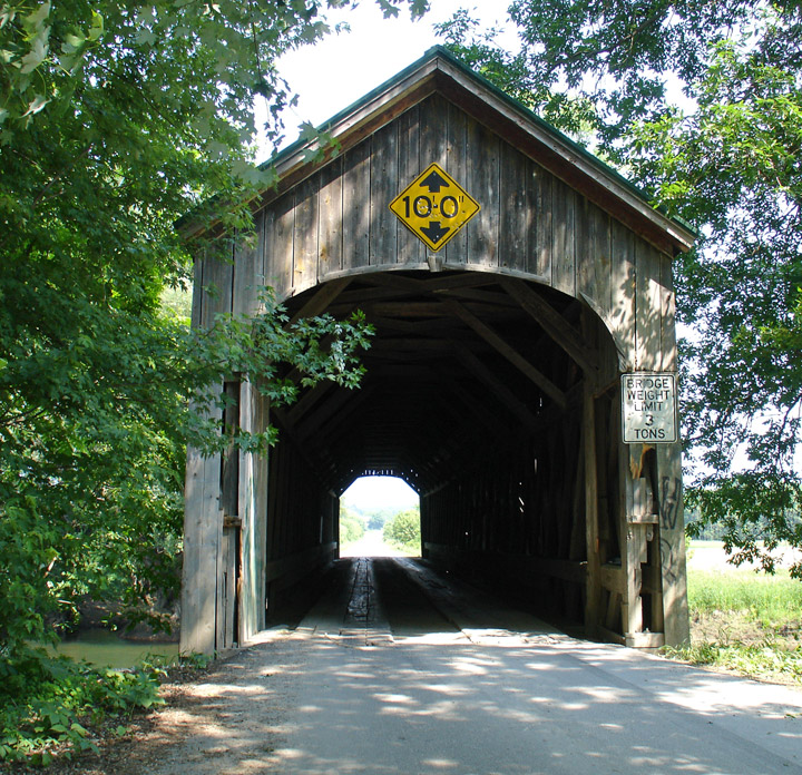
Cornwall-Salisbury Covered Bridge
GPS
N 43 deg 55.071 min
W 73 deg 10.472 min
Map of Latitude: 43.917850
Longitude: -73.174533
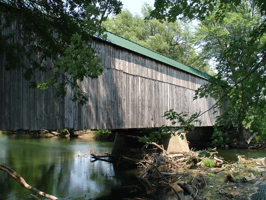
Length: 2 X 76.8'
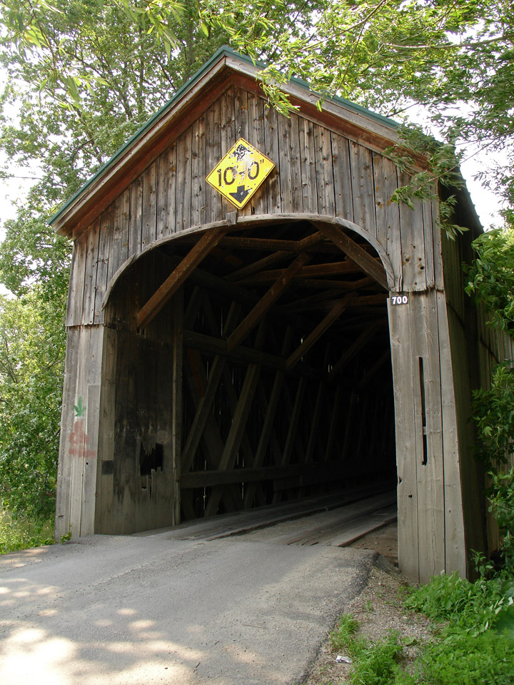
built in 1865
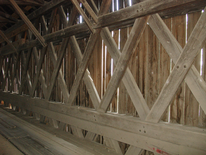
Town Lattice
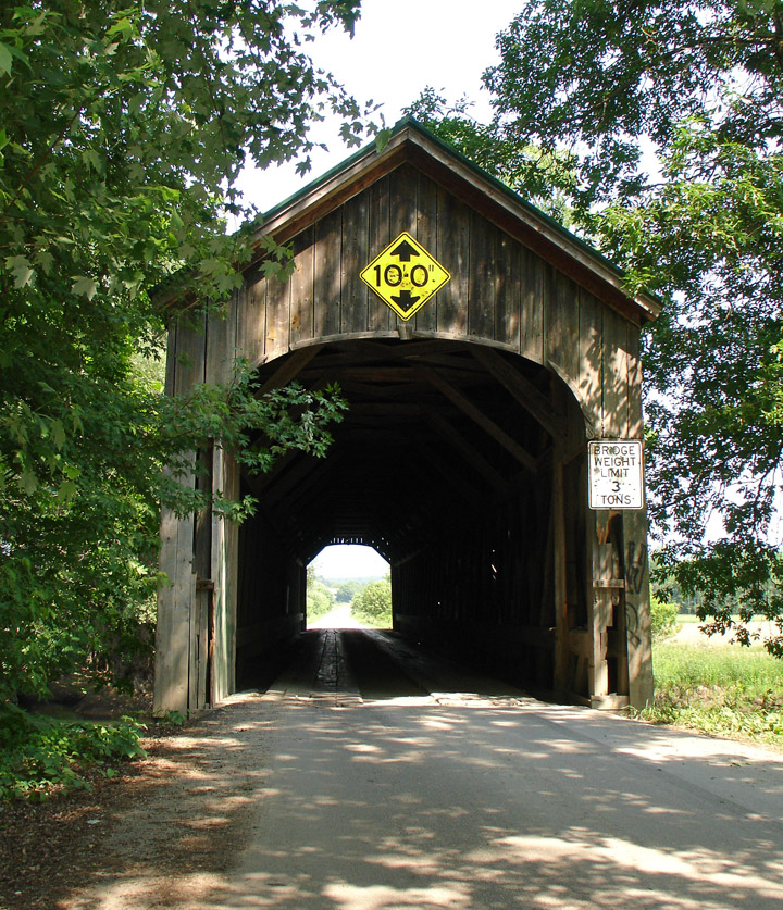
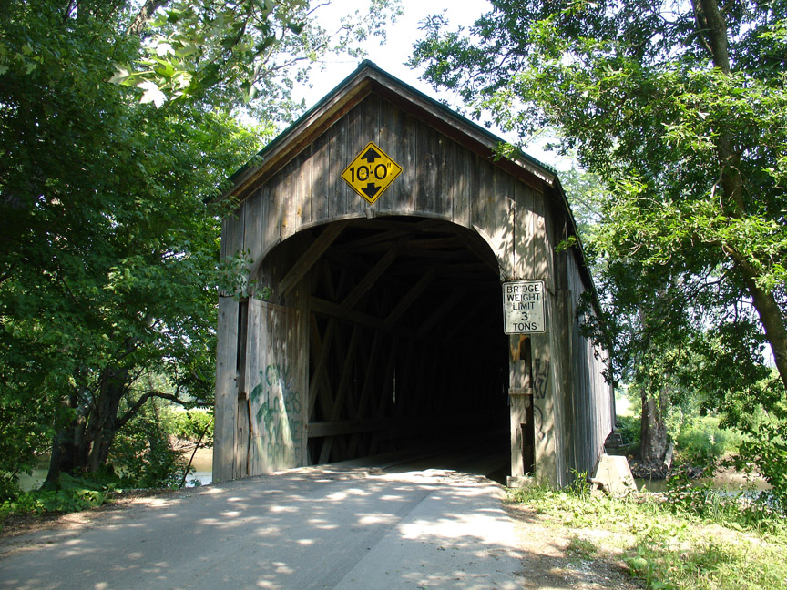
Destroyed by Arson, Sept 9, 2016