


45-13-11
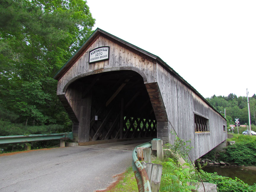
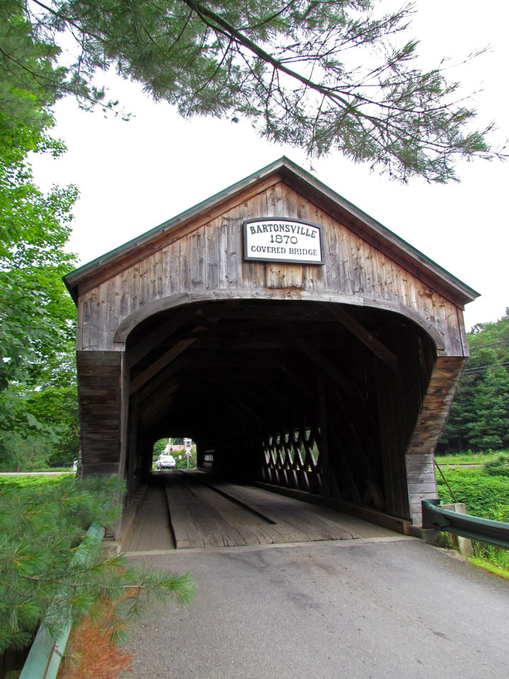
Bartonsville Covered Bridge
Windham County
Photos taken in July 2011
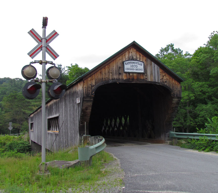
Bartonsville Covered Bridge
Destroyed by Hurricane driven flooding on August 28, 2011
GPS
N 43 13.44
W 72 32.15
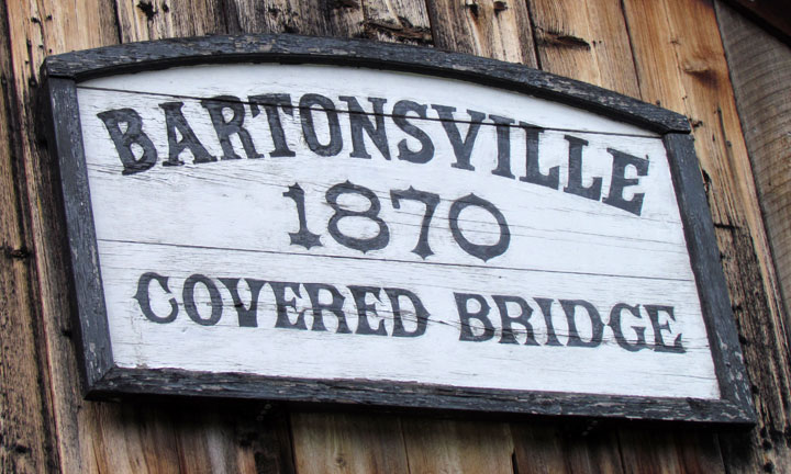

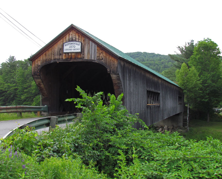
built 1870 by Sanford Granger
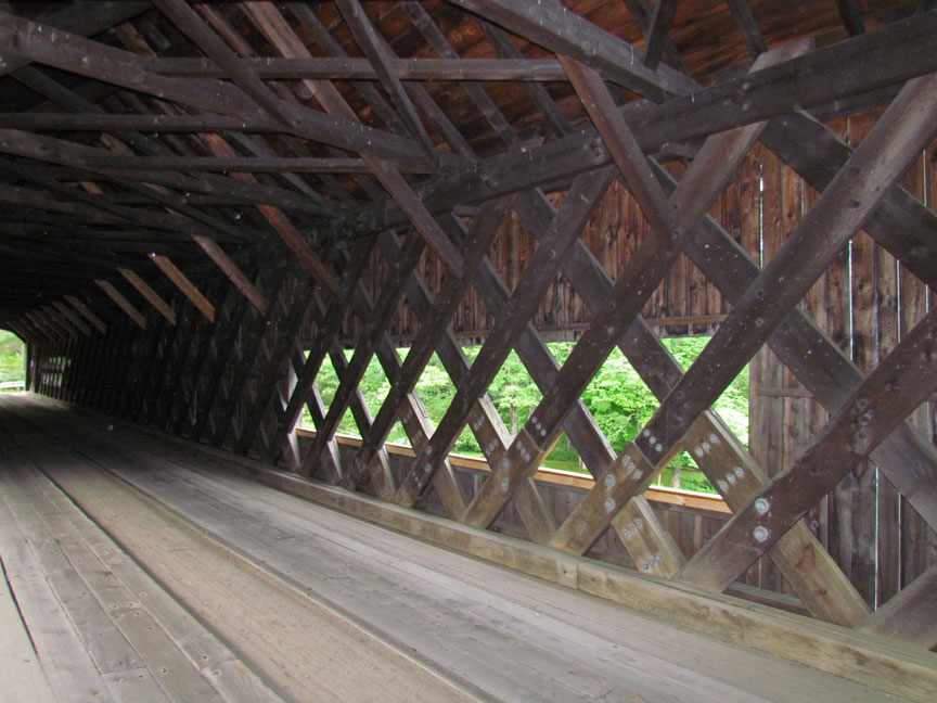
Town Lattice truss

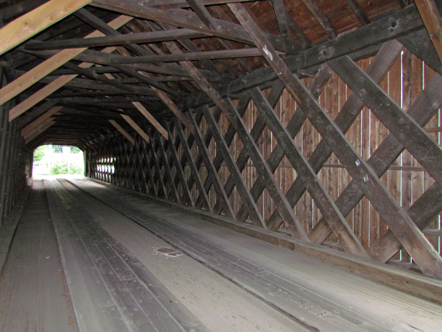
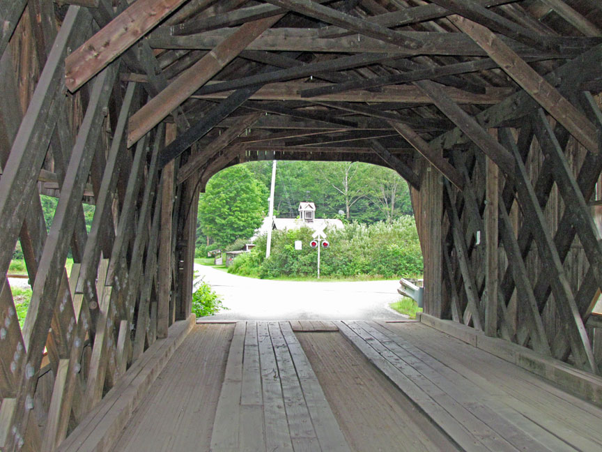

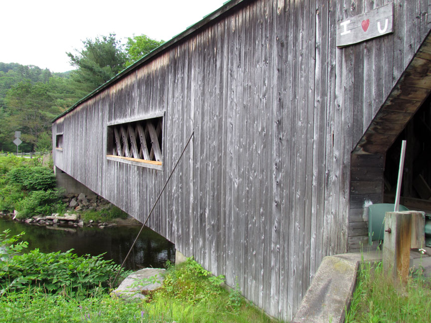
159 feet long

over Williams River